Green
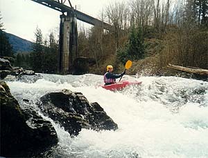
3 - Flaming Geyser State Park to 212 Way SE Bridge (Yo-Yo)
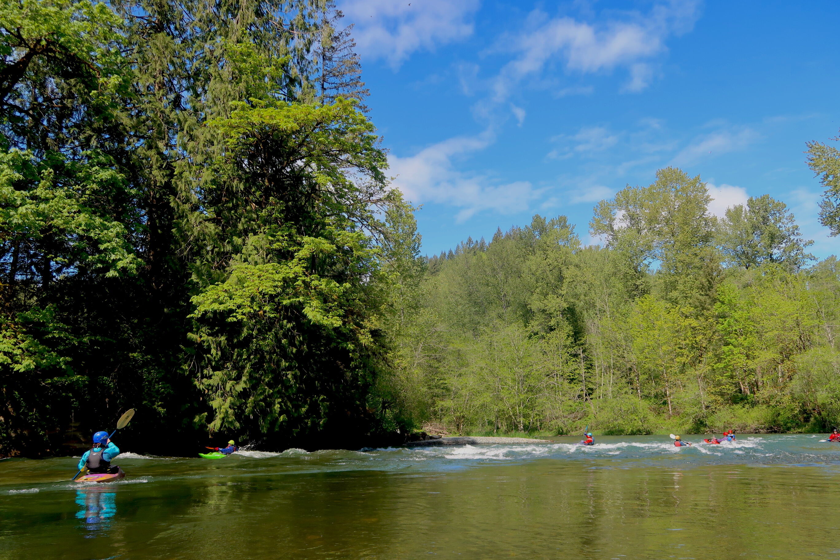
Yoyo section is clean. Wood is easily spotted and most is not in the way. The left channel at the island below the surf waves has changed and is pretty much a no go
I float the Green from Flaming Geyser to the take out just above Hwy 18 which is about 8-miles. If the flow is below 800 cfs plan on dragging or portaging over gravel or around trees. Form 1000 cfs to 2500 cfs you shouldnt need to get off. At 800 cfs the drift takes about 5 hours if you dont stop for a nap. At 2500 cfs it should take you about 3.5 hours with a stop for a sandwhich.
New tree down on River right just down River from the upper put in by the restrooms. Easily spotted and avoidable on River left.
I reported the tree to KC parks. They're investigating removal options
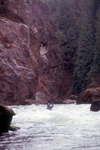
At 3000 cfs this log is just above the surface. Keep left. It spans 2/3 of river right from the bank all the way out to the big rock.
Wood center River after the hard right bend under the park entrance bridge about 1/3 of the way down the rapid. It was fine today at 3750cfs, but looks like it's jammed in the rocks and may expose at lower flow. Left or right is open around it. You can see the branches sticking up from a good distance above it
6/21/17
New log spanning left channel of second to last island before the Whitney Bridge take-out. This island is marked with lots of logs on the upstream end which have been there for years. Right channel is clear. This island is adjacent to a roadside public access with chain-link fence beyond the shoulder parking. You can scout the right channel from this access while shuttling. If you know where to look, you can see the log at the bottom of the left channel from this access. At 1100cfs, we paddled and scraped over the log.
Reported by King County:
Yo-Yo stretch of Green River near Flaming Geyser State Park
King County has identified a spanning log on a stretch of the Green River within Flaming Geyser State Park which may pose a hazard to recreational boaters.
The recently fallen cottonwood tree lies partially submerged and completely spans the channel approximately 500 feet downstream from the put-in location known to boaters as the Yo-Yo stretch that runs from Flaming Geyser State Park to the Whitney Bridge (212 Way Southeast) and 300 feet north of the intersection of Flaming Geyser Road and the service road leading to the park ranger station.
Warning signs (see bottom photo) have been posted at two locations upstream from the log that directs boaters to exit the river. Boaters should note there is a lower put-in location in the park downstream of the log that avoids the fallen tree hazard. See map below.
Apr 29, 2009
The biggest, oldest, best river cleanup in Washington State needs your help to make this year’s Green River Cleanup the best ever. The Green River Cleanup is organized by […]
Oct 17, 2007
Over the past year American Whitewater collected information on flow preferences for the Green River. Using the data from this survey we are conducting a new survey beginning in October […]
Oct 8, 2002
FREE THE OCOEE! The Upper Ocoee River, which brought the world to Tennessee as host of the 1996 Olympic whitewater slalom events, will soon be permanently dewatered by the Tennessee […]
Dec 12, 2001
The West Prong of the Little Pigeon is a beautiful class V creek that flows through Great Smoky Mountains National Park. This well loved regional delicacy will be off limits […]
Sep 7, 2000
ISSUE: For the third year in a row, American Whitewater has identified Fee Demo and funding for our public lands as a Top 10 issue. More than 600 hundred of […]