Methow
3. Averill (at McFarland Creek) access to Pateros(Black Canyon)

| Difficulty | III |
| Length | 17 mi |
| Avg Gradient | 24 fpm |
| Gauge | Methow River Near Pateros, Wa |
| Flow Rate as of 24 minutes | 630 cfsbelow recommended |
| Reach Info Last Updated | June 24, 2024 |
The Methow Valley is one of the most important landscapes in the state of Washington and of national significance for outdoor recreation with a diversity of opportunities for the recreational pursuits our members enjoy. Every spring, whitewater boaters enjoy the experiences on the Methow River, Chewuch River, and Twisp [...]Read More
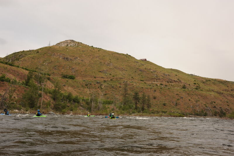
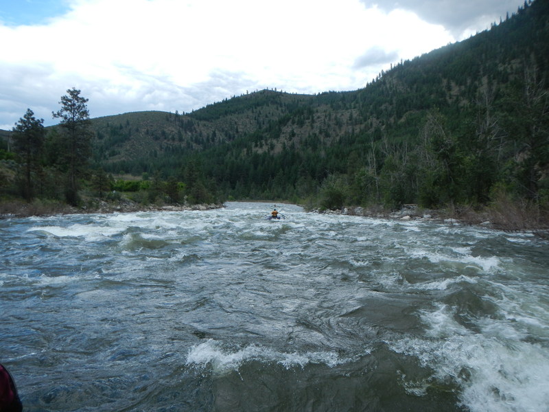
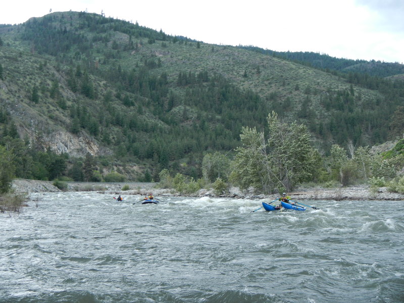
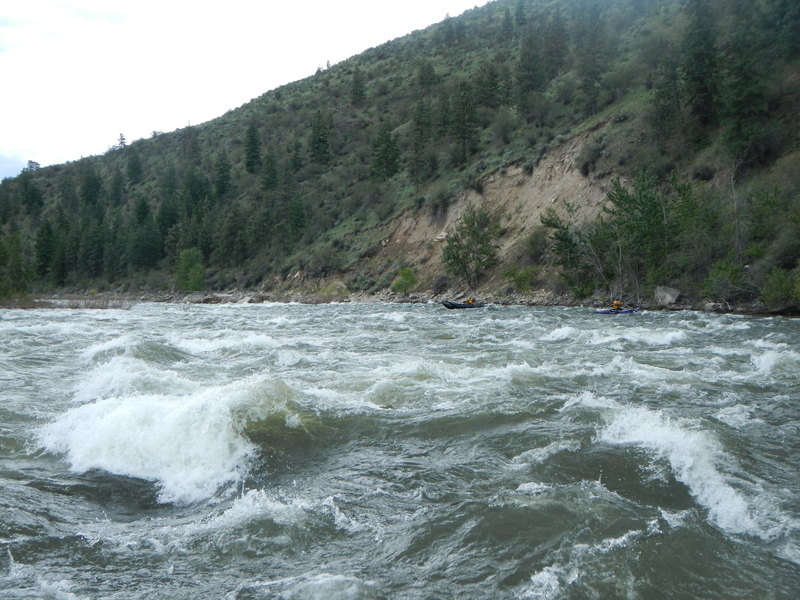
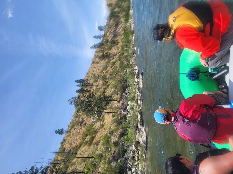
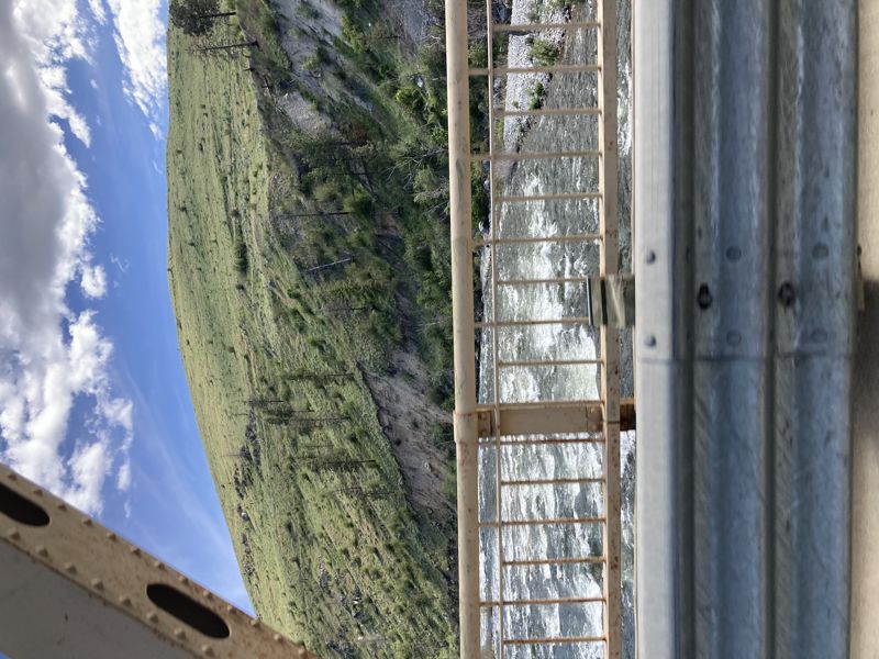
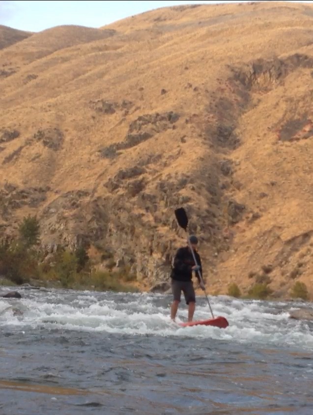
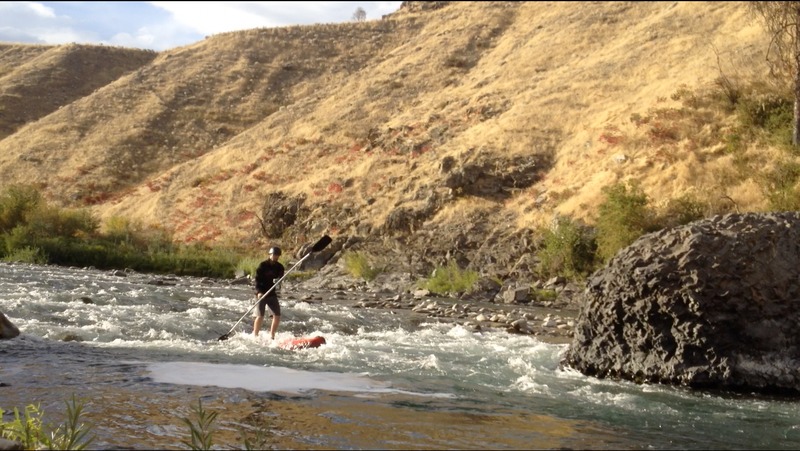
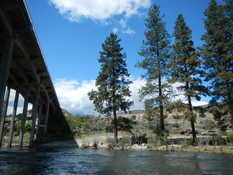
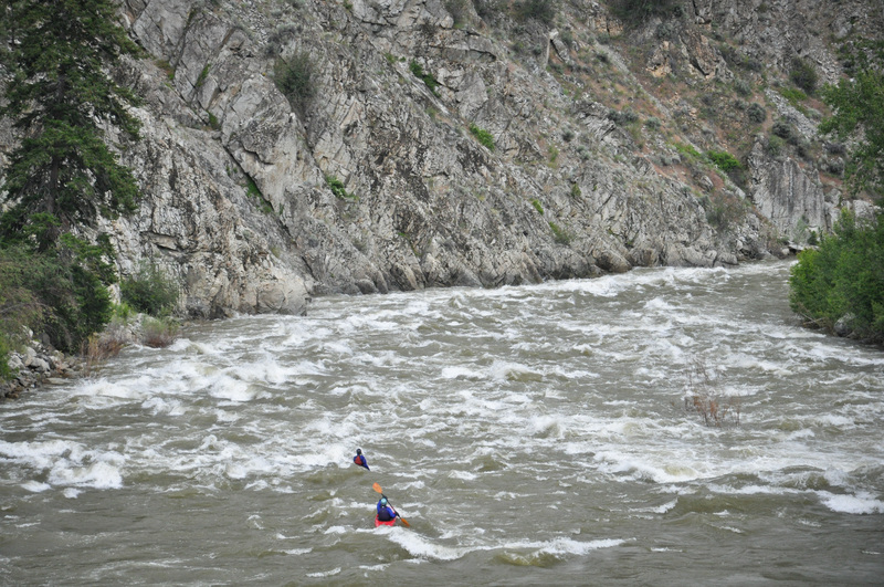
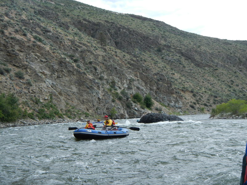
The Methow is a bigwater snow melt run with its headwaters in the peaks of the North Cascades. The river features plenty of waves and holes particularly at Black Canyon Rapids, the highlight of the run. The run can easily be broken up into two separate runs as the first half is a class II+ run from McFarland down to the Burma Road Bridge. The second half features several great class III rapids from the Burma Road Bridge down to Pateros.
McFarland Creek Access to Burma Road Bridge, Class II+, 8.2 miles
This section begins with several big bouncy class II rapids dispersed over the first couple miles. If you want to shorten the warm up, there are alternate access points just upstream of the town of Methow where Highway 153 crosses the river (put-in under the bridge on downstream river left). Another access point is Lightning Pine Camgpround, a private campground on river left across the river from the town of Methow where boaters sometimes camp and utilize the private launch.
Continuing past the town of Methow, which is not readily visible from the river, the Methow comes back along the highway and you will pass a great playspot for the kayakers on river right. Locals or those passing through on a road trip sometimes enjoy this as a fun park-and-play spot. Engle's Slide is a named rapid less than half a mile downstream of the play spot that is an easier class III rapid.
More fun class II rapids continue down to the Burma Road Bridge across the Methow a couple miles downstream which marks the midway point of the run and a potential access point.
Burma Road Bridge to Pateros, Class III(+), 8.2 miles
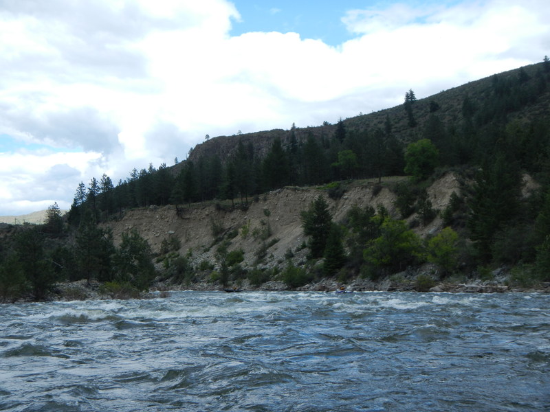
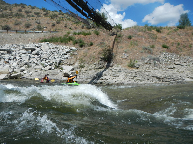
This is the classic Black Canyon section of the Methow featuring some wonderful class III action.
The first major rapid on this section is the class III+ Black Canyon Rapids just after you pass the confluence with Black Canyon Creek and the river takes a slight bend to the left wh
...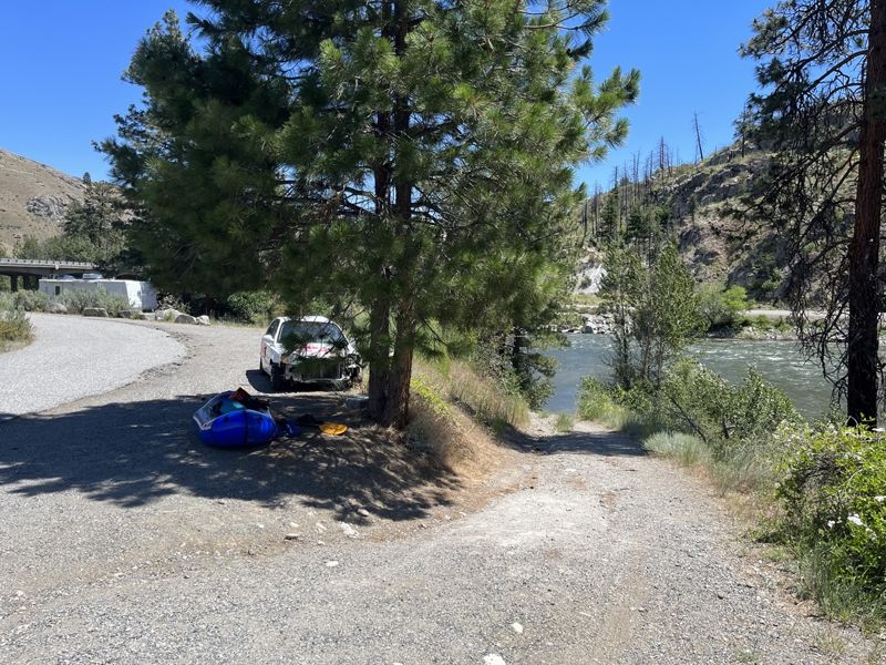
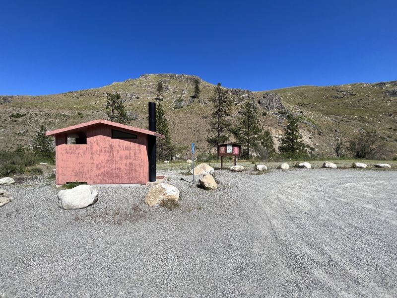
Averill Access at McFarland Creek is well-marked along Highway 153 and is just upstream of the bridge. River access site administerd by Washington Department of Fish and Wildlife. The site includes parking and a toilet with an unimproved access to the river. A Discover Pass or a WDFW Vehicle Access Pass is required to park a vehicle at the site.
The high bridge at the northern end of Burma Road provides access on the downstream river left side of the bridge. This can be used as an alternate to McFarland Creek river access but it cuts out about three miles of whitewater.
![Zahn's Access [private]](https://images.americanwhitewater.org/photo/medium/PmXN4ITUw3D6Nx8GmgzYq.jpg)
This is a private access point that has been utilized by outfitters for many years. Please secure permission before using.
Fun little play wave on river right just downstream of the town of Methow where the river comes up against the road and a footbridge is visible.
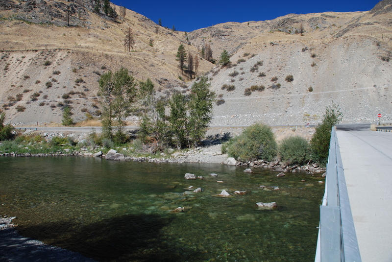
The low bridge at the southern end of Burma Road provides access on the downstream river right side of the bridge. There is limited parking on the west side of HIghway 153 and additional parking across the river on the far side of the bridge.
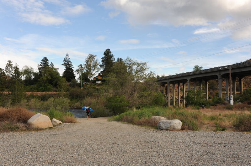
This developed river access has a large parking area on the east side of Highway 153, a vault toilet, and two short trails to the river. The site is administerd by Washington Department of Fish and a Wildlife Discover Pass or WDFW Vehicle Access Pass is required. This is overall a much more functional access than the Burma Road Bridge located 1/2 mile upriver, but you do need a parking pass and you can't back a trailer to the river's edge here (although the walk to the river on the trail is fairly easy).
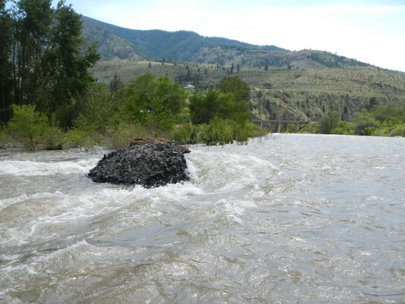
Avoid the Black Hole on river left near the start of the rapid and the next hole downstream on river right by starting center-right and then moving into the wave train down the left once you pass the Black Hole.
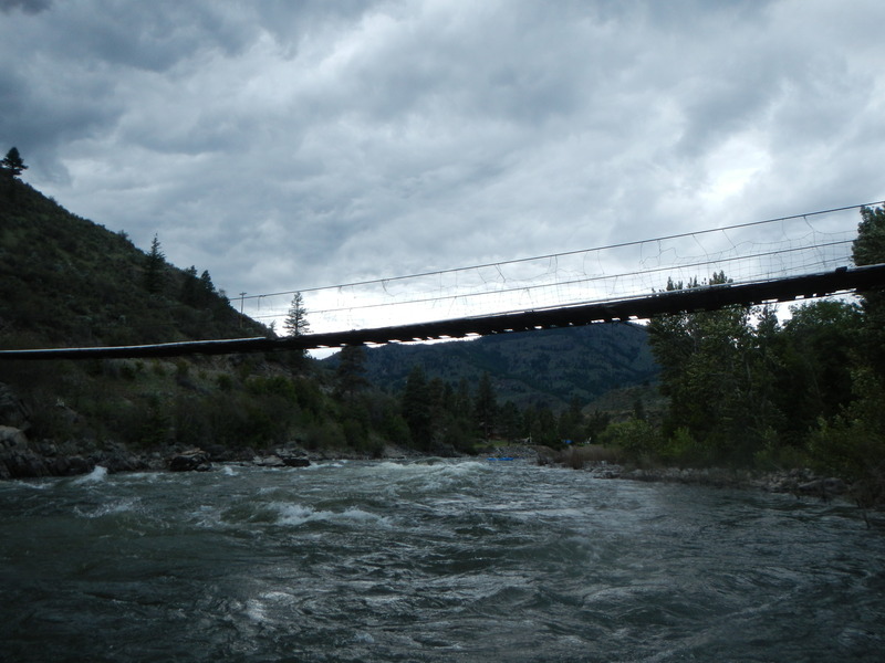
A large hole forms over a giant boulder right of center upstream of the footbridge at high water.
Access on river left just downstream of the bridge. This is a good access at the end of the signfiicant rapids and is a standard take-out option.
A large rock on river right that develops a big hole at higher flows.
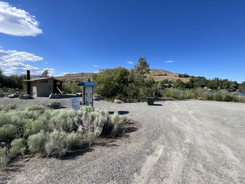
The Douglas County PUD provides this take-out facility on the Methow as a condition of their federal license to operate the nearby Wells Dam on the Columbia River. There is a large parking area with no permit requirement, a restroom, and some informational and interpretive signage. This site is located about 0.7 miles upriver from Highway 97 on the river right. Red buoys in the Methow mark submerged hazards but also indicate the location of the take-out, which is partially screened from view from the rier by vegetation.
Jun 29, 2026
Ran the black canyon section yesterday and today for the first time in a 14' raft with a stern-mount frame and five paddles. We drove up from Seattle for the weekend to raft it and it did not disappoint. Would love to come back and do it again at higher flows! Water was around 1550 cfs, and the rocks were out, but if you are experienced reading the water, spotting sleepers, and dodging rocks, it won't be a problem for you. Too much lower and some of the sections might have small shallow parts where getting stuck is unavoidable. Waves were not too much of a challenge, nothing was sticky, but in the black canyon section, we did have some good, splashy action!!
Apr 16, 2026
Two packrafters on a sunny spring day, flow measured at (methow river at pateros gauge) was 4310 CFS, the higher end of medium runnable. We decided to skip black canyon section, given small party size, and parked at Burma rd. bridge (SE side) for our take out. Biked to the put in at Averill DFW put in site. River was running fast, as we ran this 8.4 mile section in 75 minutes. Rapids were in the II to II+ range, with lots of splashy sections that are likely more calm at lower flows. There was no wood obstructions, and wildlife was mainly Canada geese, ducks and merganzers.