Miller
East Fork to NE Old Cascade Highway
March 20, 2024
| Reporter | Bill Herring |
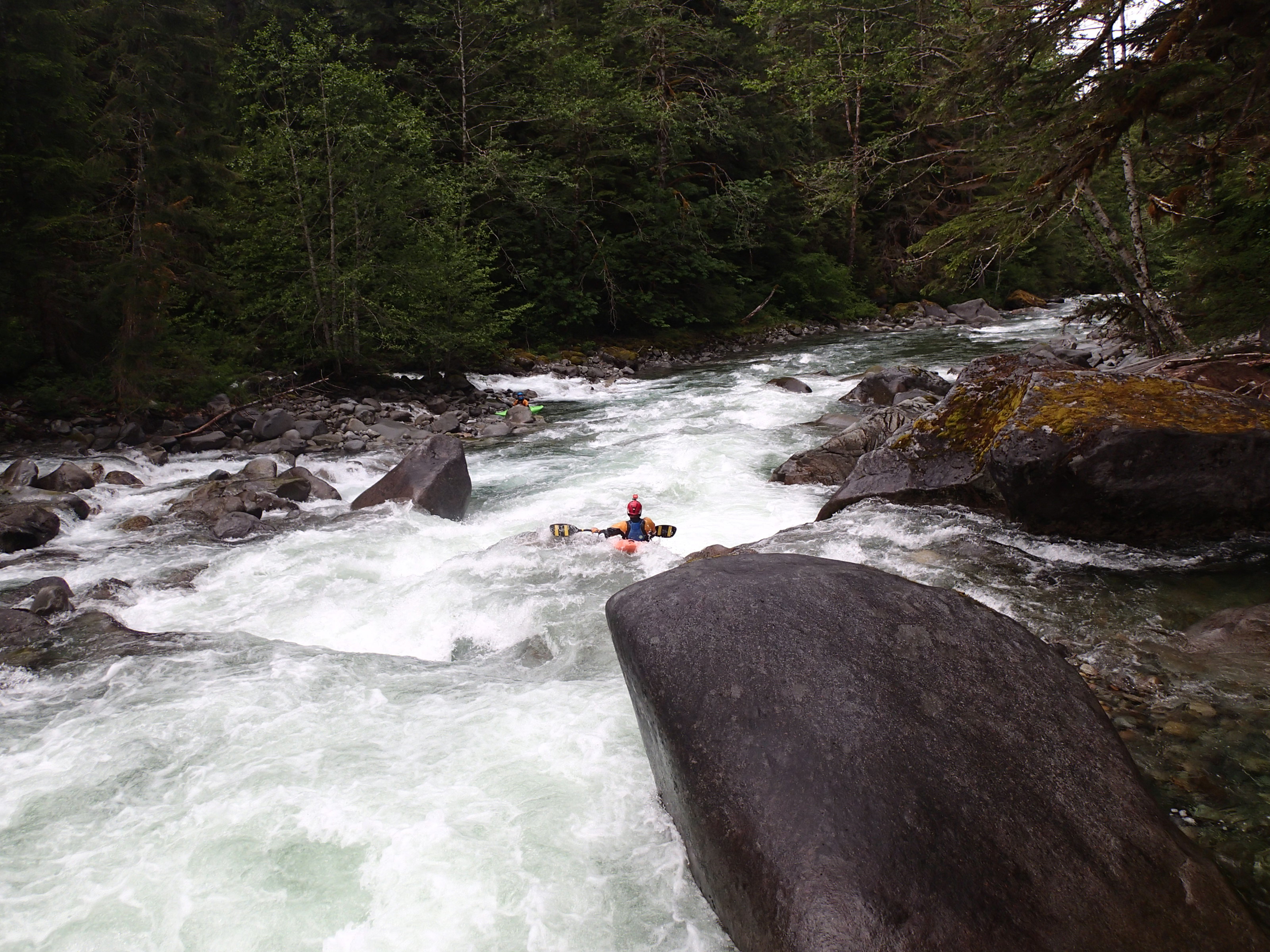
At the pullout where the river is first visible heading up the shuttle road (potential takeout), there are three bigger rocks in the streambed you can see to get a feel for level. These reference photos are for very low end of runnable and healthy-medium (or perhaps pretty high depending on your perspective). How much water you have at the put-in will vary depending on where the water is coming from, as the west fork and a river-right feeder can both add a lot or none at all. Have found the correlation with Skykomish gauge (AW virtual) to be very hit or miss, so pays to know what you're looking at when you get to the river.