Snoqualmie, Middle Fork
3 - Taylor River to Concrete Bridge(Upper Middle)
December 14, 2025
| Reporter | Sam Westover |
| Gauge Reading | 2400 cfs at MIDDLE FORK SNOQUALMIE RIVER NEAR TANNER, WA |
| Flow | Medium Runnable |
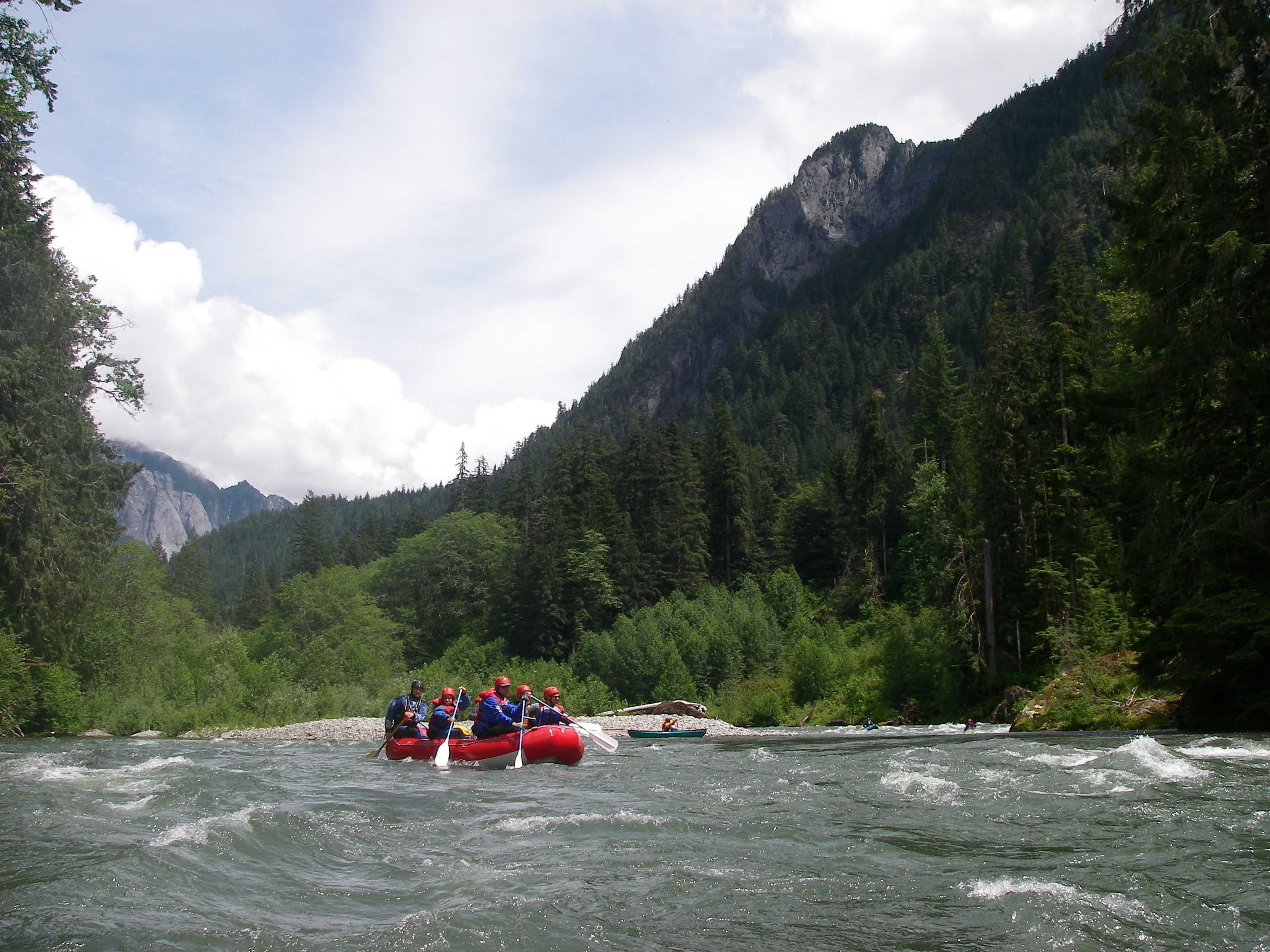
Five of us paddled from Bridgeview after the water levels came back down again after last week’s historic flooding. The road was clear all the way in, other than the 1-way section at the very beginning being closed. The Tanner gage was reporting 2,400 cfs, but we think that it might have been up closer to 3,500. The gages all probably need recalibration after the flood waters.
We were concerned about new wood hazards, but the water had been so high the week before (~20,000 cfs) that it seems to have pushed all the big logs and debris up into the surrounding trees, leaving the channel clear. The only log we encountered was on river right just before the Pratt confluence- it’s hard to see from up-river, but is pretty firmly wedged on some rocks and looks like a low-head dam. Plenty of room to get by it on the left.
This is always my favorite run for scenery- it’s just incredibly beautiful, especially with the mist rising through the trees. Lots of birds spotted- kingfishers, mergansers, dippers, and a big hawk.