Snoqualmie, Middle Fork
3 - Taylor River to Concrete Bridge(Upper Middle)
| Difficulty | II |
| Length | 8 mi |
| Avg Gradient | n/a |
| Gauge | Middle Fork Snoqualmie River Near Tanner, Wa |
| Flow Rate as of 18 minutes | 204 cfsbelow recommended |
| Reach Info Last Updated | May 4, 2025 |
SEASON: November rains and spring snowmelt. A consistent performer on weeknights late April through early June.
FUN FACT: One of the most scenic river trips easily accessible as a day trip from the Seattle area.
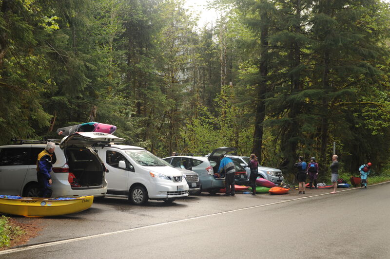
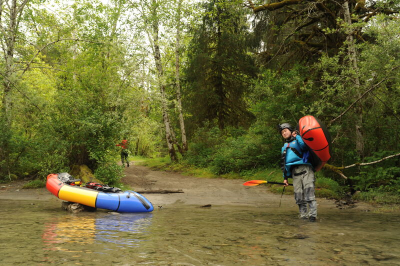
LOGISTICS: To reach the river take exit 34 off I-90 and head north on 468th Ave. past the truck stop. The Middle Fork Road (FR 56) turns off to the right in 0.5 miles. Continue up this road to mile 5 and the Granite Creek Access (aka Concrete Bridge), which is on the downstream river left side of the bridge. This site is the traditional division between the Upper and Middle runs, but many paddlers looking to spend more time on the Upper Middle's best rapids will continue upstream to Russian Butte View access which serves as an alternate take-out. This site is at mile 8 on DNR land just before you reach the Forest Service boundary at a point where the river comes up along the road, and a short distance downstream of the Pratt River confluence. This access can also be used as a put-in for those who want to start their trip here and then continue down on the easier first section of the Middle-Middle, taking out above First Island Drop (this run is known as 'The Mupper' - make sure to scout the takeout, as the access below First Island Drop is full of trees).
For the put-in, you can continue up to mile 10.2 and a site known as Riverbend where the river runs up along the road at an unimproved camp site. This alternative puts you in downstream of Rainy Creek Rapid. For those interested in the full run, continue up to mile 11.3 and a small pull-out along the river known as Bridge View just before the turn into the Middle Fork Trailhead. The Forest Service has asked paddlers to use this site instead of parking at the trailhead and scrambling under the foot bridge. The Bridge View access is suitable for either rafts or kayaks. If you want to put in a couple miles
...
This informal put-in allows you to enjoy one of the most beautiful sections of the run at the foot of Mt. Garfield. It is just a couple miles upstream of the standard put-in at Bridgeview. Located at river mile 67.2.
This access point administered by the Forest Service is immediately downstream of the trail bridge that crosses the Middle Fork. There is a small pull-out that will fit 2 cars, or 3 if you squeeze. The site is posted 'no dispersed camping,' and it's usually clear and easy access to the river.
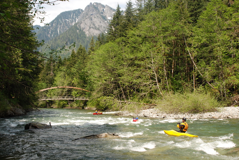
A couple boulders make a fun rapid just downstream of the Taylor River confluence. You can put in above the Taylor River or on the Taylor River itself to take in this drop. Located at river mile 65.0.
This headwall rapid at the Camp Brown Day Use Area comes up just downstream of the put-in where the river pushes up against a bedrock wall. Stay right to continue downstream, splat the wall, or go left to circle into the 'room of doom' eddy. Located at USGS river mile 64.5.
A fun headwall rapid and probably the most challenging drop on this section. Located at USGS River Mile 64.1.
An alternate take-out administered by Washington State DNR. This is a popular take-out option as the river mellows out below this point and contains less whitewater. Located at USGS River Mile 60.5.
A formal access point is on river left just downstream of the Concrete Bridge, the separation point between the Upper and Middle sections of the Middle Fork Snoqualmie. The site is administered by King County Parks.
Dec 18, 2025
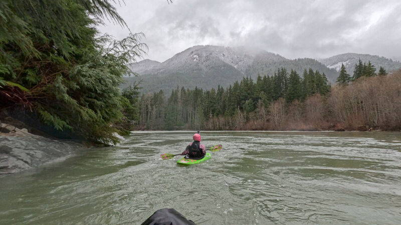
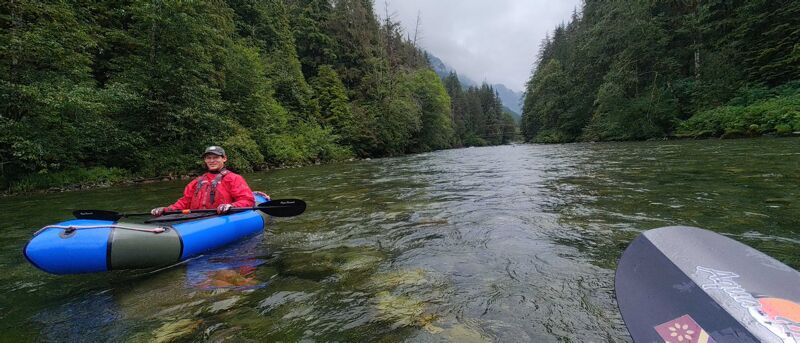
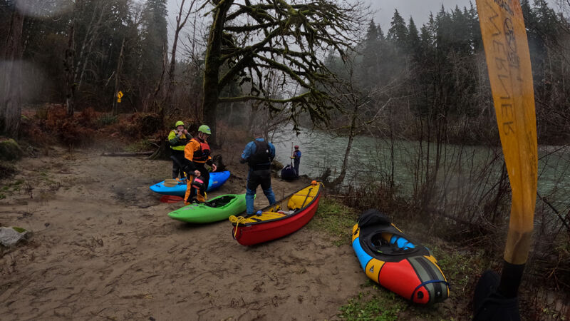
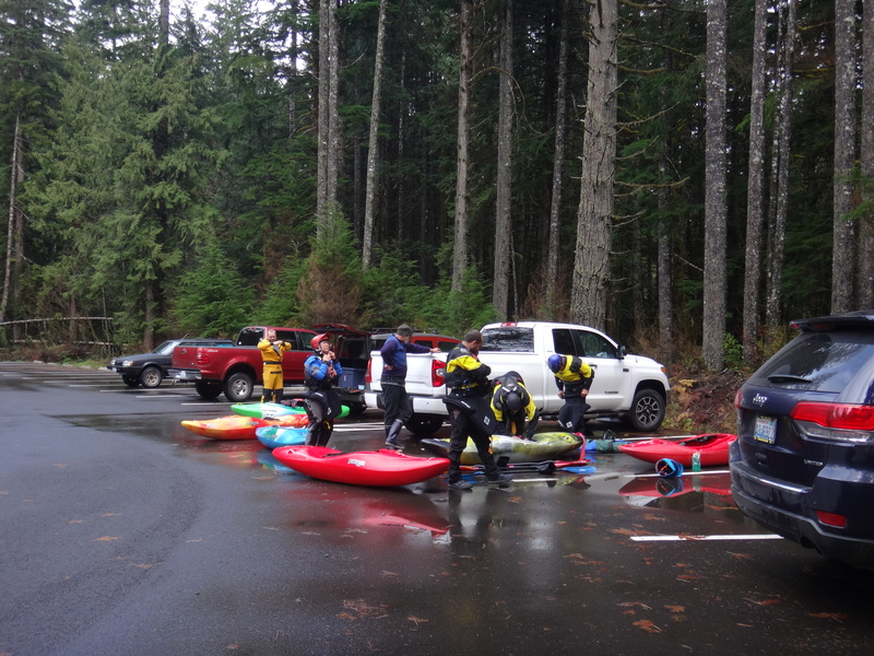
Three of us paddled in the rain from Bridgeview down to Russian Butte. Unlike the trip just 4 days before, there were trees down everywhere along the road from the recent windstorm. Thankfully, someone had gone through with a chainsaw before we arrived, so we were able to drive up all the way.
The river was still mostly clear of wood hazards, though there were a few easily-avoided logs that hadn't been there a few days previous. There is also still a log on river-right just before the Pratt confluence. Easy to avoid on river left, but hard to see it until you’re right there.
It rained hard the whole time, but was still pretty, especially with fresh snow on the low hills around us.
Dec 14, 2025
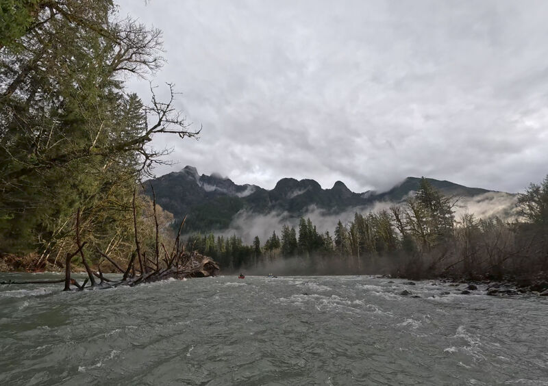
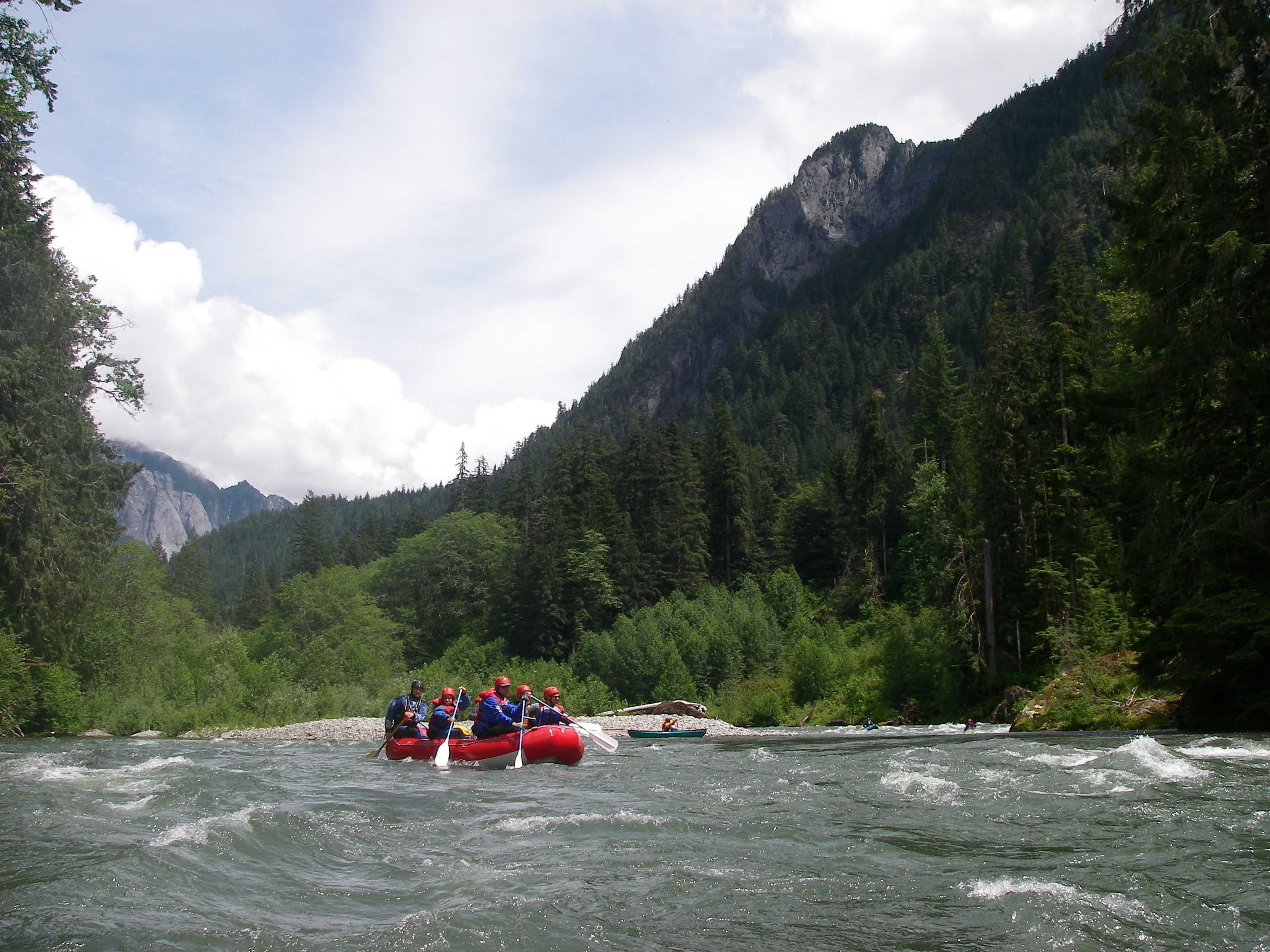
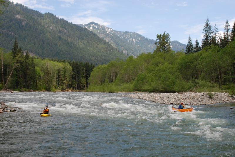
Five of us paddled from Bridgeview after the water levels came back down again after last week’s historic flooding. The road was clear all the way in, other than the 1-way section at the very beginning being closed. The Tanner gage was reporting 2,400 cfs, but we think that it might have been up closer to 3,500. The gages all probably need recalibration after the flood waters.
We were concerned about new wood hazards, but the water had been so high the week before (~20,000 cfs) that it seems to have pushed all the big logs and debris up into the surrounding trees, leaving the channel clear. The only log we encountered was on river right just before the Pratt confluence- it’s hard to see from up-river, but is pretty firmly wedged on some rocks and looks like a low-head dam. Plenty of room to get by it on the left.
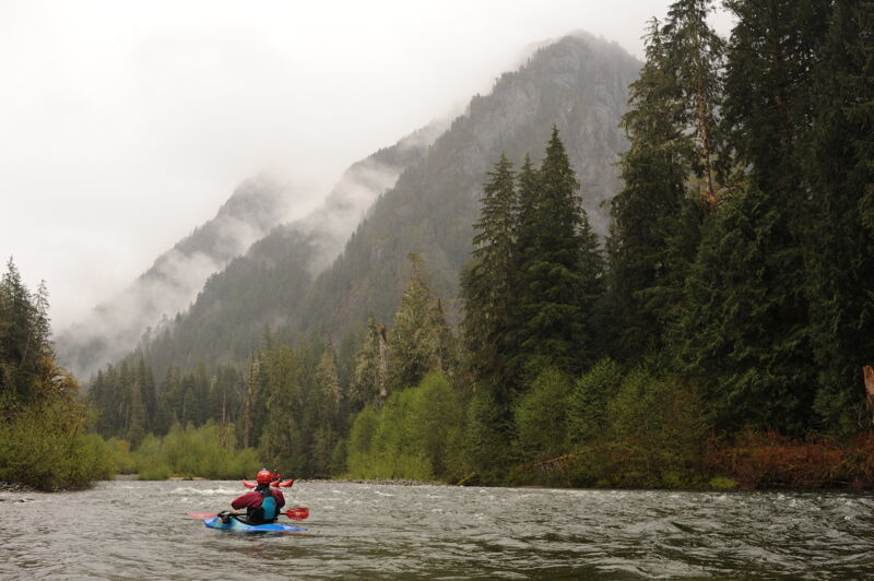
This is always my favorite run for scenery- it’s just incredibly beautiful, especially with the mist rising through the trees. Lots of birds spotted- kingfishers, mergansers, dippers, and a big hawk.
May 31, 2022
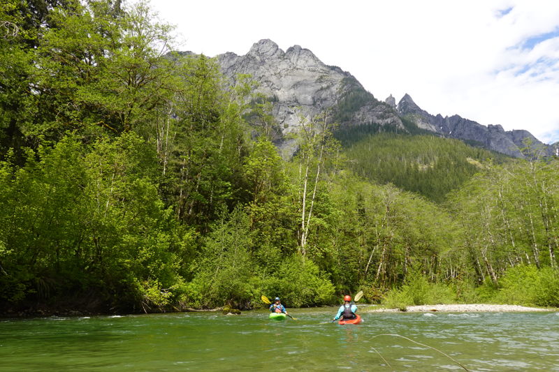
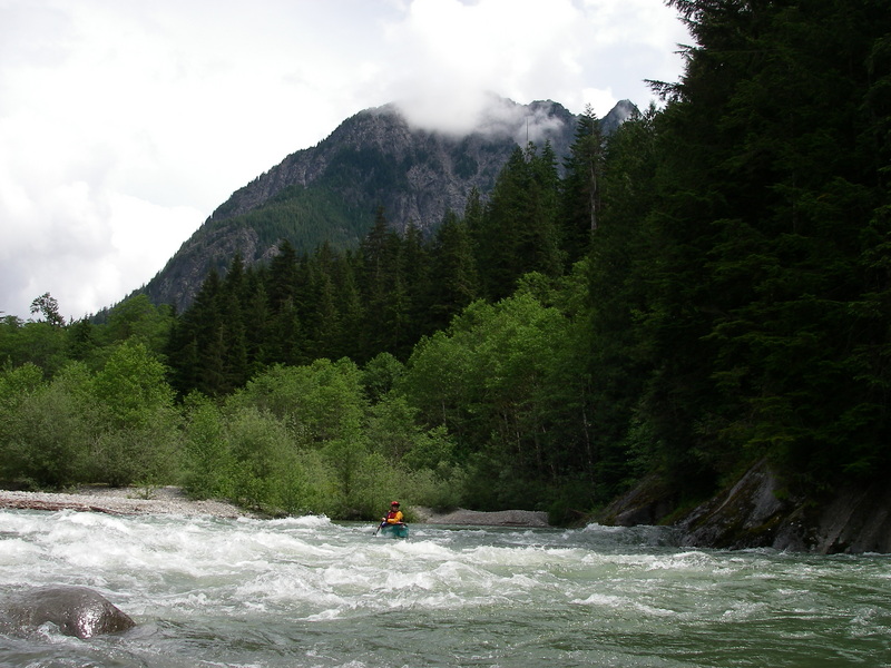
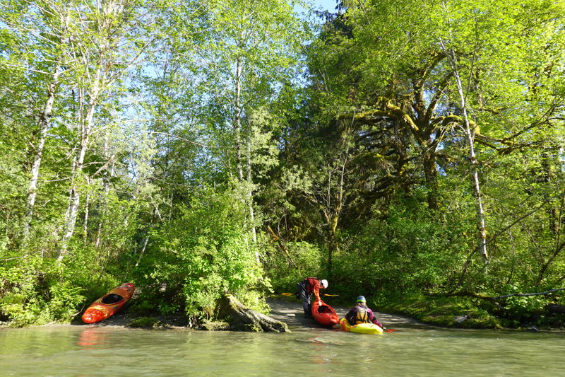
Middle Fork Snoqualmie Trip with Tom O'Keefe, Bethany Overfield, Doug Knapp, Kanako Iwata-Eng, Taylor Walker, Leanna Girton, and Cyn Taylor. We began our trip at the put-in upstream of the Taylor River confluence. We were treated to great views of the mountains which still have plenty of snow. An objective of our trip was surveying the river for harlequin ducks. We did not see any harlequin ducks but did see two pairs of merganser ducks and a solitary female, all in the segment between the Pratt River and Granite Creek.Video: < https://gopro.com/v/MJ6eeDgdpNXD7 >.