Taylor
bl. Marten Creek to MF Snoqualmie

| Difficulty | IV |
| Length | 1.9 mi |
| Avg Gradient | 175 fpm |
| Gauge | Taylor River (estimated) |
| Flow Rate as of 37 minutes | 33 cfsbelow recommended |
| Reach Info Last Updated | August 27, 2019 |
One of the most significant outdoor recreation areas close to metropolitan Seattle is the Middle Fork of the Snoqualmie River. Less than an hour drive from downtown, the valley is accessible to a population of over three million people and attracts visitors from across the country. Few places in [...]Read More
SEASON: November rains and spring snowmelt.
FUN FACT: A short hike-in adventure
CURRENT ISSUES: Future management of the Middle Fork Snoqualmie is currently
being discussed by several regional user groups and agencies. Check [MidFORC's web page](http://
www.midforc.org) for the latest news.
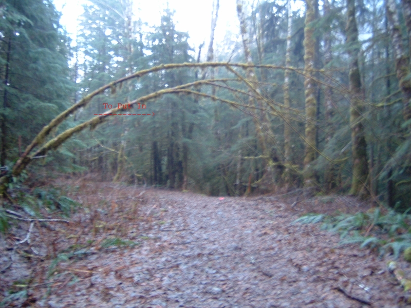
LOGISTICS: To check out this river take exit 33 off I-90 and head north towards the
truck stop. The Middle Fork Road (FR 56) turns off to the right within a half mile or so. Follow this
road 12 miles and cross the Taylor River bridge. One potential take-out is here at the bridge or at
the nearby Middle Fork trailhead. This site is also used as an alternate put-in for those running the
Upper Middle who want a
more challenging start to their trip. To reach the Taylor put-in, continue past the bridge and on up
the road to the left. You will soon come to a dead end. From the parking area, cross the river and
hike up along river right. Hike a couple miles and bushwack down to the river.
DESCRIPTION:
If there ever was a guide book description that was off, it's the Taylor river in the
Bennett Book. John Schaefer and I, looking for something new to paddle set our sights on the
Taylor. Some time in June we convened at the take out with our playboats and began hiking. The
book said the run was three miles, so we figured we'd just hike till it felt like we had gone that far.
The trail starts upriver of Quartz creek at a bridge that takes you to river right where we hiked the
rest of the way up. If you put in at this bridge, the guide book description would hold true for the
class rating, but the run would be well over two miles short of being a three mile run.
Unfortunately the trail only afforded a few small glimpses of the river on our hike
up. Not k
Jan 14, 2010
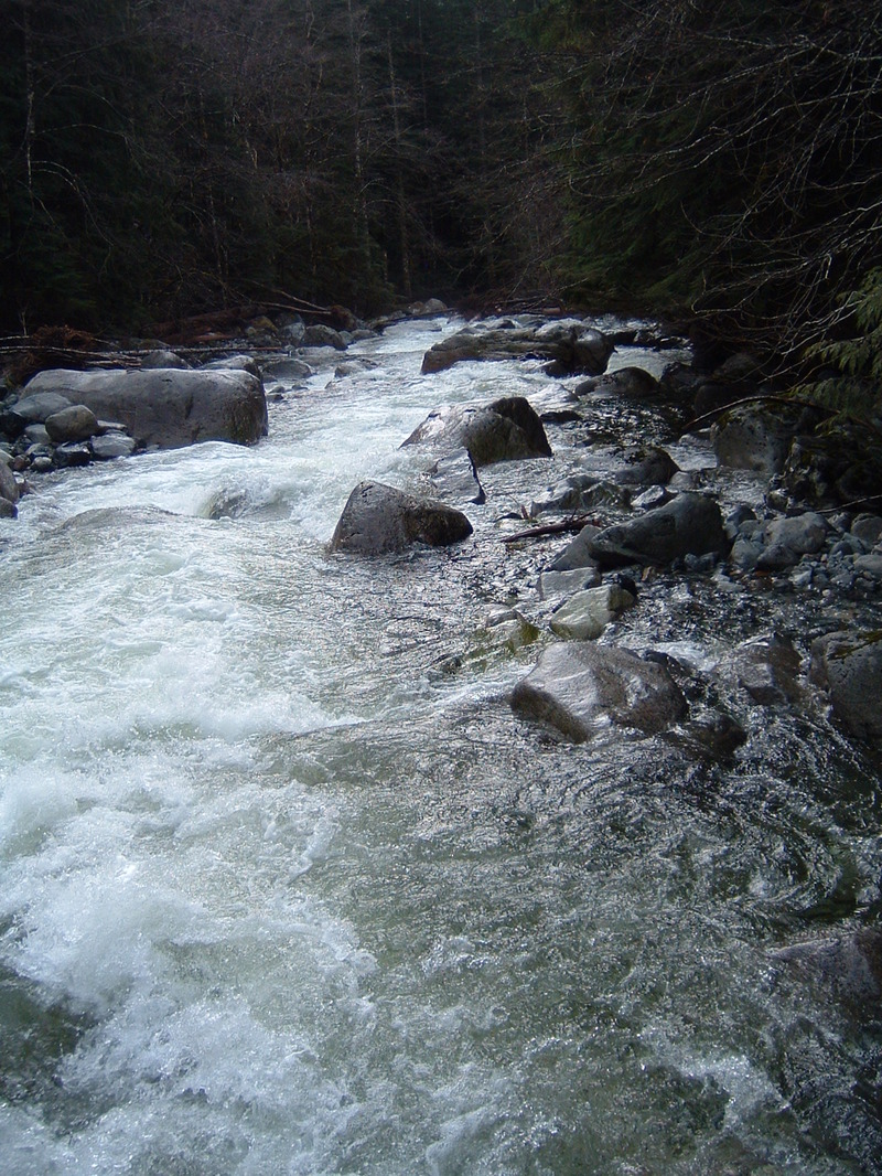
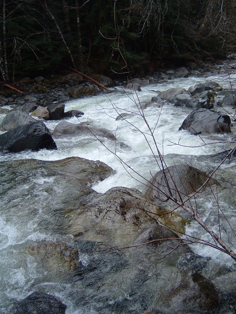
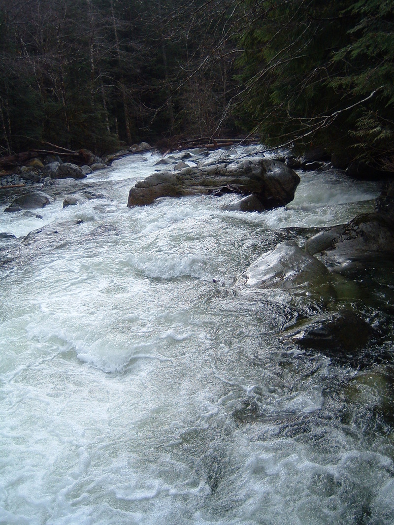
he drop starts with a series of two channels that pass between two or three successive rows of boulders, which funnel most of the flow directly towards a large boulder in the center of the stream.
At lower flows the left line looked mankier, and the right line fairly tight to shore. Scout to determine if door number one or door number two is the best call.
MM Gauge at ~1600
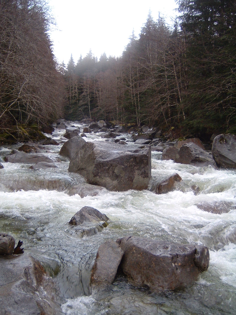
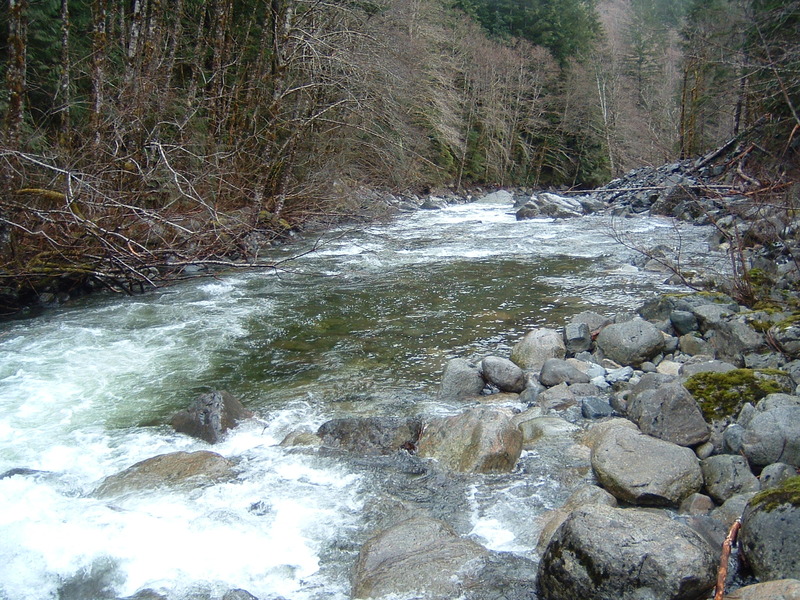
Jan 14, 2010
1/10/10. ~1600cfs on the MM gauge.
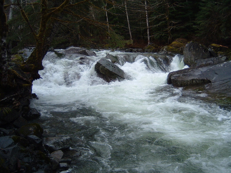
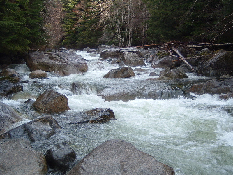
Jan 14, 2010
View from below.
MM @ ~1600 cfs