Kings
4. Pine Flat Dam to Centerville (Route 180)
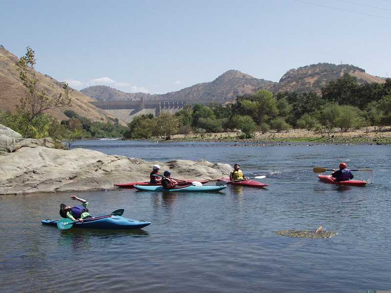
August 15, 2003
| Reporter | Paul Martzen |
The Alta Weir is one of several weirs between Pine Flat Dam and highway 180. The portage on river right is very easy.
This picture, from Spring of 1995 shows high water of about 13,000 cfs, when the river is legally closed to boating.
The smooth mound of water on the right or upstream side of the picture is the main part of the weir. There are concrete dividers spaced every 8 feet across the river. They are about 2 feet high. Each divider has a vertical slot on each side. Boards are slid down into these slots to dam the openings and raise the water level for a diversion on river left.
The boards are only useful for backing up very low flows, but in recent years they tend to get left in all year instead of just in late fall.
This apron on the edge of the weir forms a fun pocket under the water big enough sit in. Several people could fit at once.
Release from Pine Flat was about 2400 cfs, but the flow is quite a bit less than that actually coming over this weir. The water coming over this small apron is about 1 inch deep.
The water tempurature was fairly pleasant on this day, but most of the summer it will be freezing cold.
The Fresno Weir is the furthest downstream of several weirs between Pine Flat Dam and highway 180. Portage on river left. Look for an opening in the bushes just 20 or 30 feet away from the lip of the dam.
This weir is a ways below the big Mansion and immediately below the Friant Kern Canal siphon. It is still a couple miles or so from Highway 180.
Water is diverted into two canals on river right. Fresno Irrigation District and Consolodated Irrigation District get their water from this diversion. There is much less flow below this weir.