Namekagon
Namekagon Dam to St. Croix River (up to 99 miles)
| Difficulty | I-II |
| Length | 98.9 mi |
| Avg Gradient | n/a |
| Gauge | Namekagon River at Leonards, Wi |
| Flow Rate as of 36 minutes | 61 cfsbelow recommended |
| Reach Info Last Updated | December 16, 2020 |
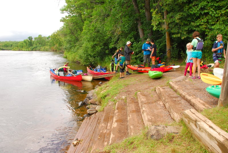
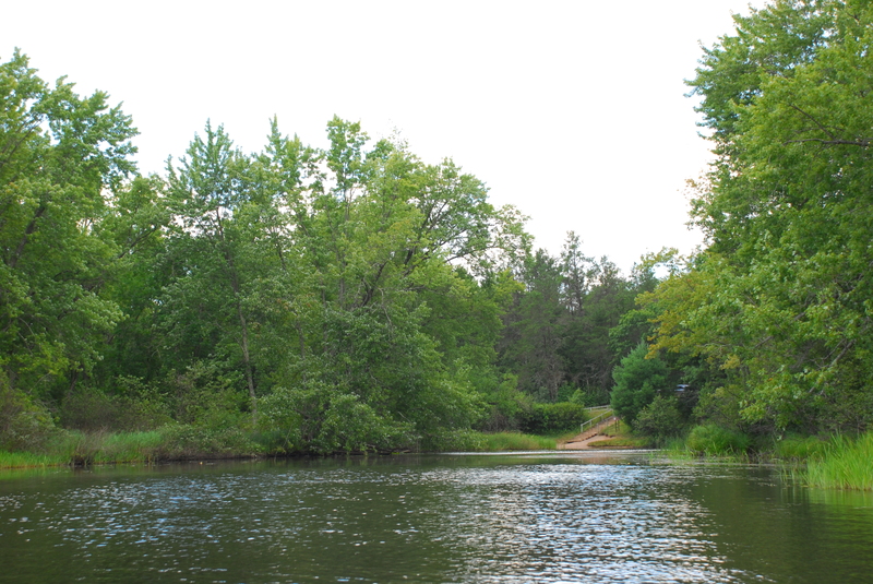
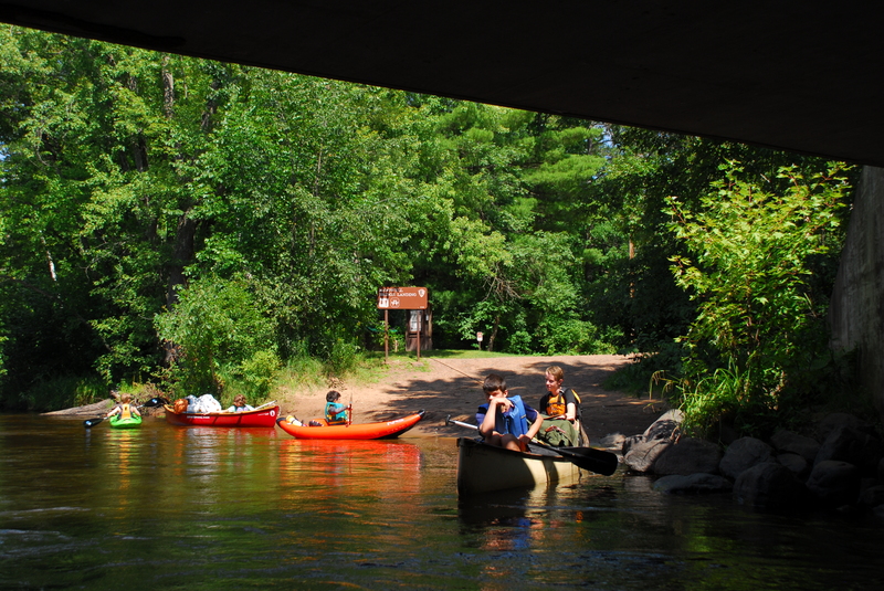
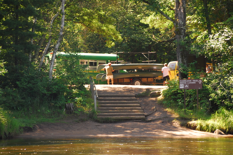
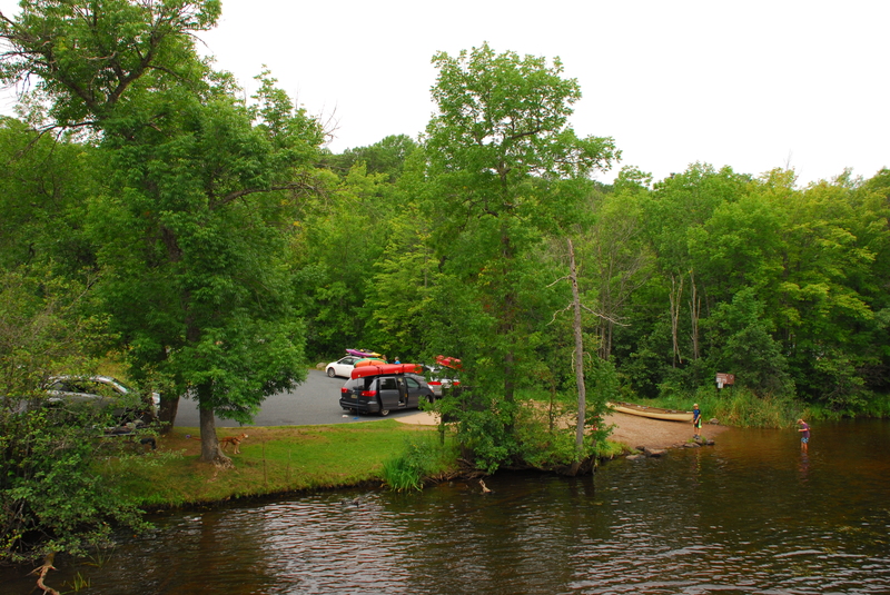
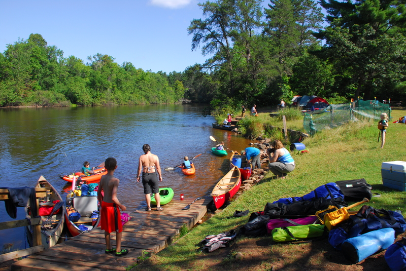
The Namekagon was designated as one of the original 8 Wild and Scenic Rivers in 1968 as part of the St. Croix Wild and Scenic River. This major tributary of the St. Croix has been a recreational destination for more than a century and remains popular for day trips and multi-day journeys through Wisconsin's Northwoods. Trips begin as high up as the Namekagon Dam. The communities of Cable, Seeley, Hayward, and Trego are located along the river which largely follows Highway 63 and then Highway 77. Formal access points are provided every few miles at bridge crossings and parks along the river, some of which provide overnight camping. Despite the number of access points that make it easy to customize a trip to fit your skills and time avaialable, the river still retains its wild character. Along the river designated camp sites (small 8 person sites and large 16 person sites) serve river runners with fire rings and pit toilets. The available campsites can get full on summer weekends.
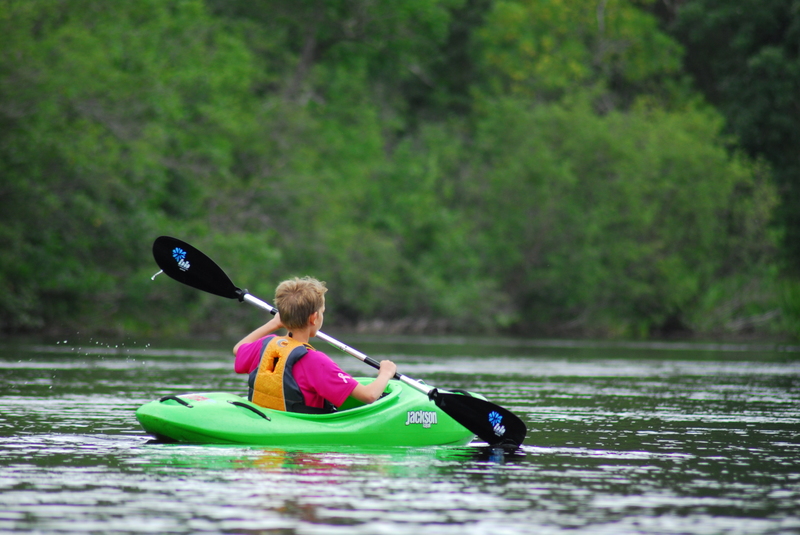
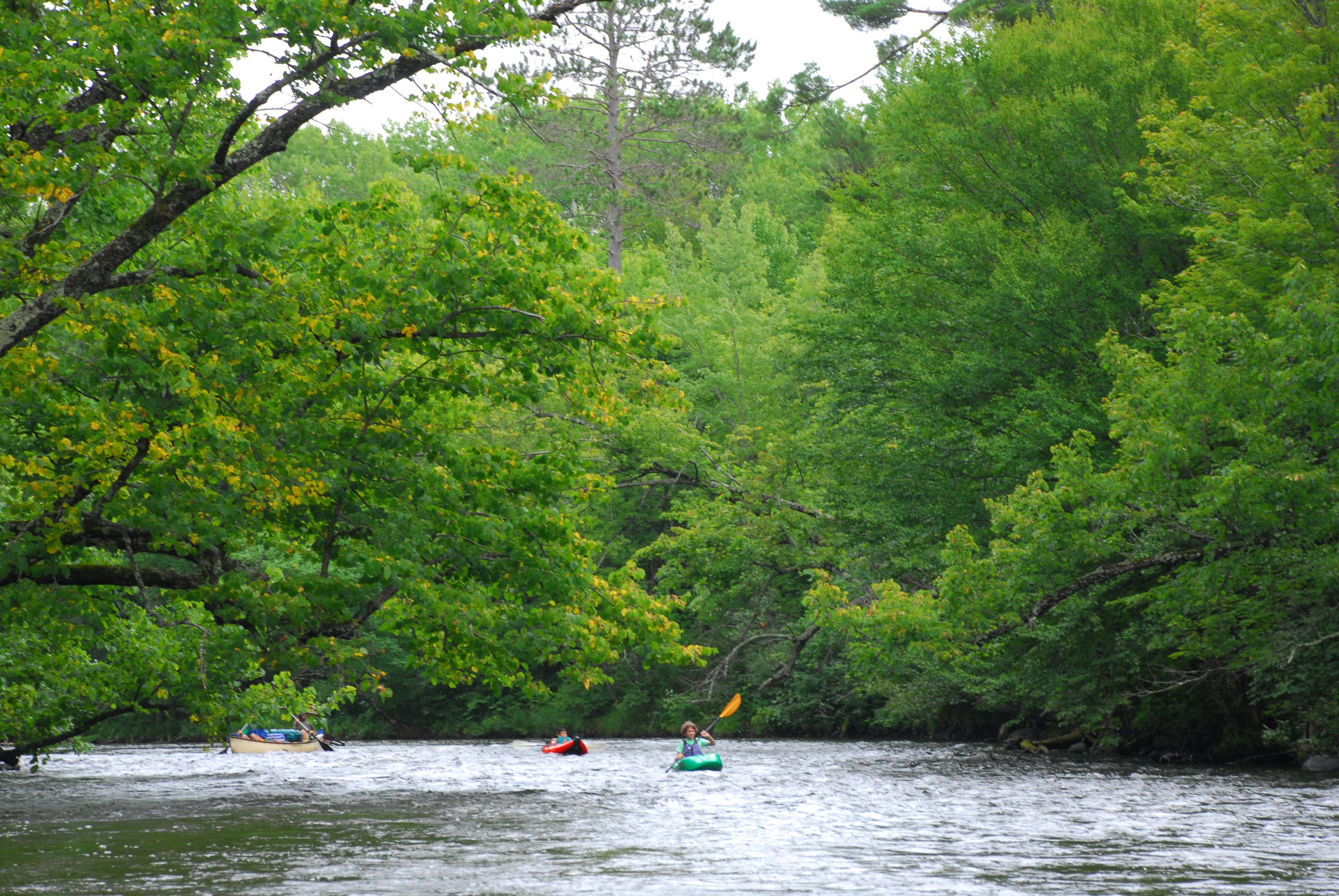
Most use open canoes for trips on the river and while much of the run is flatwater there are some easy class II rapids that require manuvering. The river is administered by the National Park Service which provides additional information on rules and regulations along with detailed maps and advice on how to enjoy your trip:
St. Croix/Namekagon Wild and Scenic River
The main sections of the river include the following:
1) Namekagon Dam to Hayward Landing (33.4 miles)
Namekagon Dam to Cable Wayside (13.5 miles, class I)
The river here is narrow and shallow with stretches of rocky rapids. Water levels can be extremely low and impassable during dry conditions. From Phillipi Landing (river mile 88.6) to Cable Wayside (river mile 86.0) water levels tend to be slightly better. The first ten miles of this stretch are isolated; expect numerous beaver dams, strainers (downed trees), and three low bridges.
...
River mile 84.7, Drainage area 126 square miles, Gage elevation: 1,275'.
Last access point before slackwater of Hayward Reservoir. River mile 70.
Access point downstream of Hayward Dam. River mile 66.1.
River access on river right where the slackwater of Trego Reservoir begins and Namekagon River Visitor Center on river left. River mile 37.3.
This is the access point at the upstream end of Trego Reservoir. River mile 36.8.
Put-in immediately downstream of Trego Dam. From this point down to the St. Croix the river is free-flowing with no more dams. River mile 31.2.
Howell Landing and West Howell Landing are on river right and river left respectively and both provide camping for large groups (expect multiple groups on busy weekends). River mile 16.9.
Standard take-out for runs on the lower Namekagon is Riverside Landing which is approximately 4 miles dowstream of the point where the Namekagon joins the St. Croix.
Jun 30, 2020
My husband and I paddled upper 28 miles, from Namekagon Lake Dam to Trout Run Landing, on June 27-28 2020. River level was 116 cfs, and it was TOO low for the first 7 miles. So keep it mind that 90 cfs which are mentioned that the lowest level should probably be corrected a bit. Campsites are sometimes hard to find. The footbridge which is supposed to be ~1-2 miles after put in at Namekagon lake (see the map here: http://wisconsintrailguide.com/paddle/namekagon-river.html) does not exist.
Aug 9, 2017
Four day trip from County Road K to St. Croix River.