Namekagon
Namekagon Dam to St. Croix River (up to 99 miles)
Jun 30, 2020
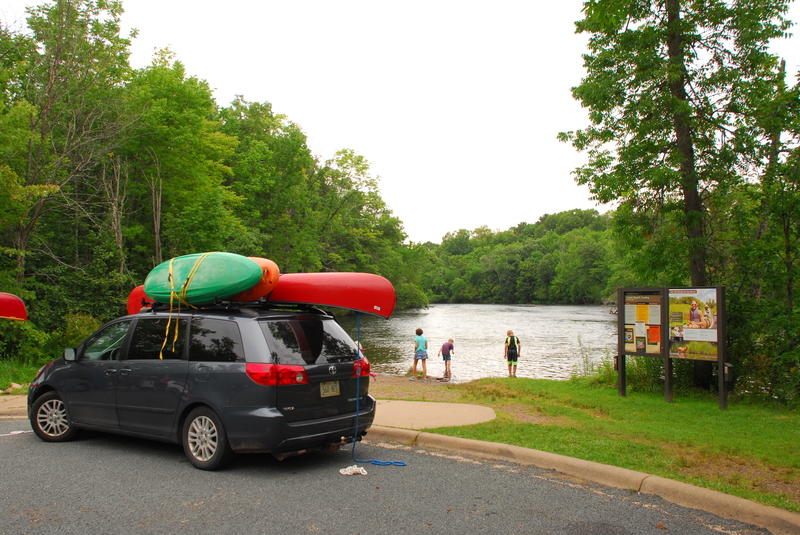
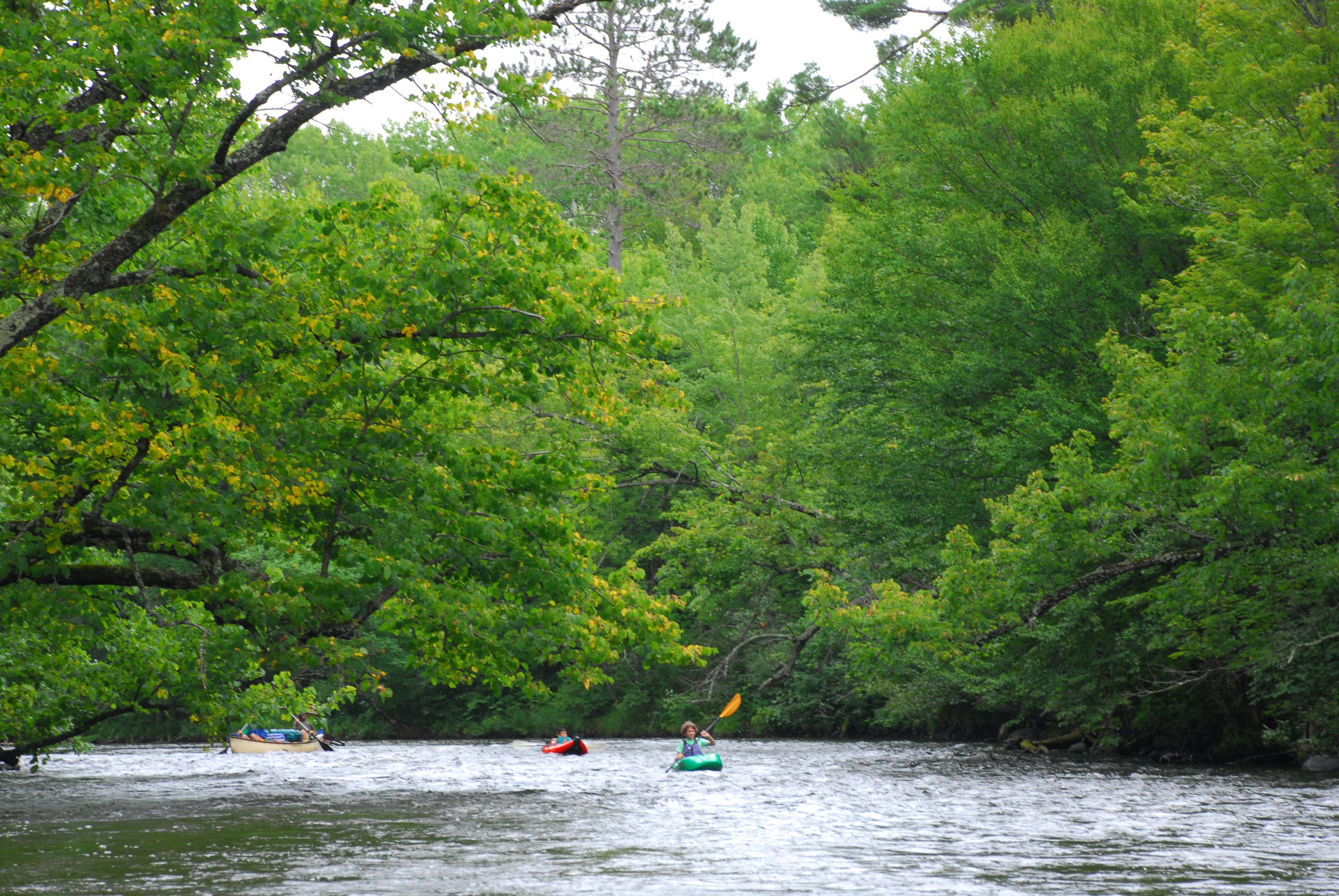
My husband and I paddled upper 28 miles, from Namekagon Lake Dam to Trout Run Landing, on June 27-28 2020. River level was 116 cfs, and it was TOO low for the first 7 miles. So keep it mind that 90 cfs which are mentioned that the lowest level should probably be corrected a bit. Campsites are sometimes hard to find. The footbridge which is supposed to be ~1-2 miles after put in at Namekagon lake (see the map here: http://wisconsintrailguide.com/paddle/namekagon-river.html) does not exist.
Aug 9, 2017
Four day trip from County Road K to St. Croix River.