| Difficulty | III-IV+ |
| Length | 9.5 mi |
| Avg Gradient | 25 fpm |
| Gauge | Cheat River at Albright, Wv |
| Flow Rate as of 53 minutes | 21.48 ftabove recommended |
| Reach Info Last Updated | July 18, 2026 |
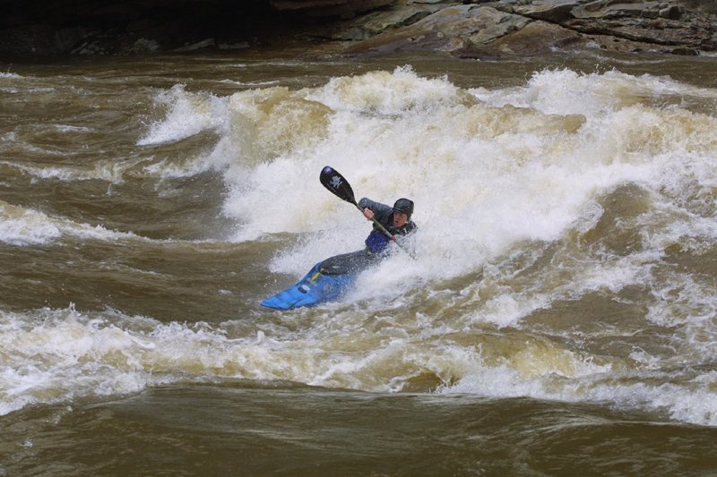
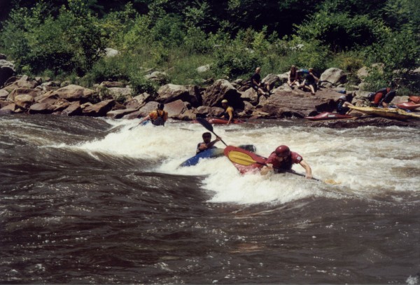
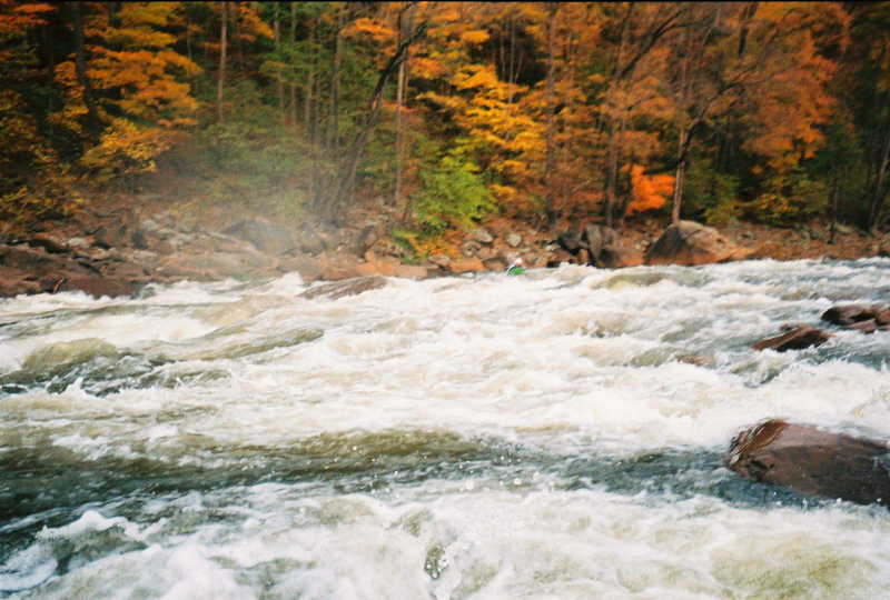
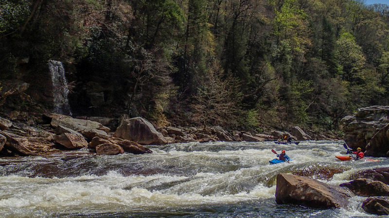
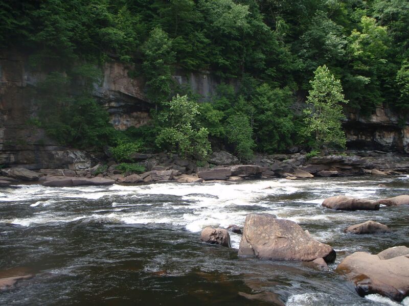
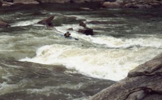
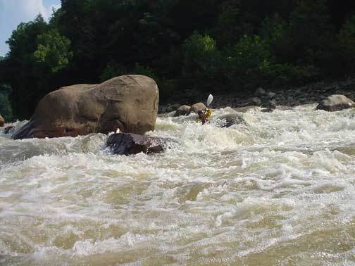
The Cheat is a local favorite, with 10 miles of wilderness paddling, impressive rock formations, and more than a handful of III-IV rapids with great play at many levels.
Every year, on the Friday of Cheat Fest (the first weekend in May), this river is host to the ' Cheat River Mass-Occurrence,' a truly legendary race. With a mass start of as many as 150 paddlers, this race begins with chaos and ends with a phenomenal party.
Friends of the Cheat https://cheat.org/ owns the land at the put-in and WV Land Trust https://www.wvlandtrust.org/ owns the takeout. Please support both of these awesome organizations for preserving public access to this amazing canyon.
Lat/Longitude coords verified by GPS.
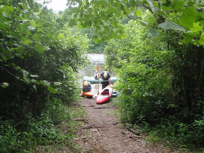
Put-in - 1 mi north of Albright. From Interstate 68, head South on Route 26. After about ten miles, take a very sharp Right into Teter's Campground, and then take a left into land owned by Friends of the Cheat (donate $2 at the parking lot). This is an AW paddlers' easement at the mouth of Muddy Creek. Or you can put in at the bridge on Rte. 26 (where the paddlers' gauge is located) at Albright.
This first rapid is a series of offset holes. If you have much trouble here, you can make the Decision to hike back upstream to the putin.
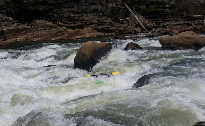
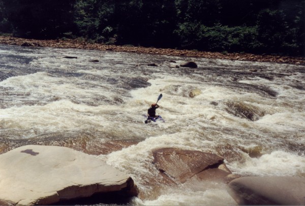
One of the steepest rapids on the Cheat, Big Nasty used to lead into a giant hole at the bottom, but now the hole is no more. Instead a large surf wave appears at the bottom of the rapid. Great at 5' on the Albright Gauge.
The feature to avoid is a pour-over in the center of the river, the pour-over has a hidden boulder backing it up. It makes for a bad day if you float into this. Run left or right.
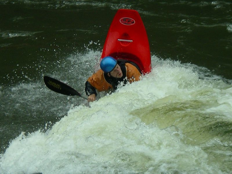
A popular playspot and lunch spot. Best at flows 1.0-2.5'
Can be scouted from river left. Best line is left of center heading left through large waves and holes.
Named for Falls coming into river on left side.
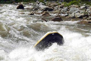
Run is on left side side of river where you will encounter a almost channel-wide hole (Recyclotron), playable a very low flows. Run just left of the hole and cut back toward center left to avoid Particle Accelerator, the hole in the second drop. All can be scouted from the right side.
This rapid is named for Pete Morgan, who owned a gas station in Albright and often read the gauge for paddlers in the pre-internet days of the 1960's. Last drop is run in the center of the left channel. The last part of this drop changed two years ago, and is much more difficult. At lower water, run the main 'V' and launch off the drop just to the left of the large boulder in the middle of the river.
Boulder Line Rapid comes after Pete Morgan. There are three straightfoirward chutes between large boulders.
This is an easy rapid above where Connor Run enters on River Right.
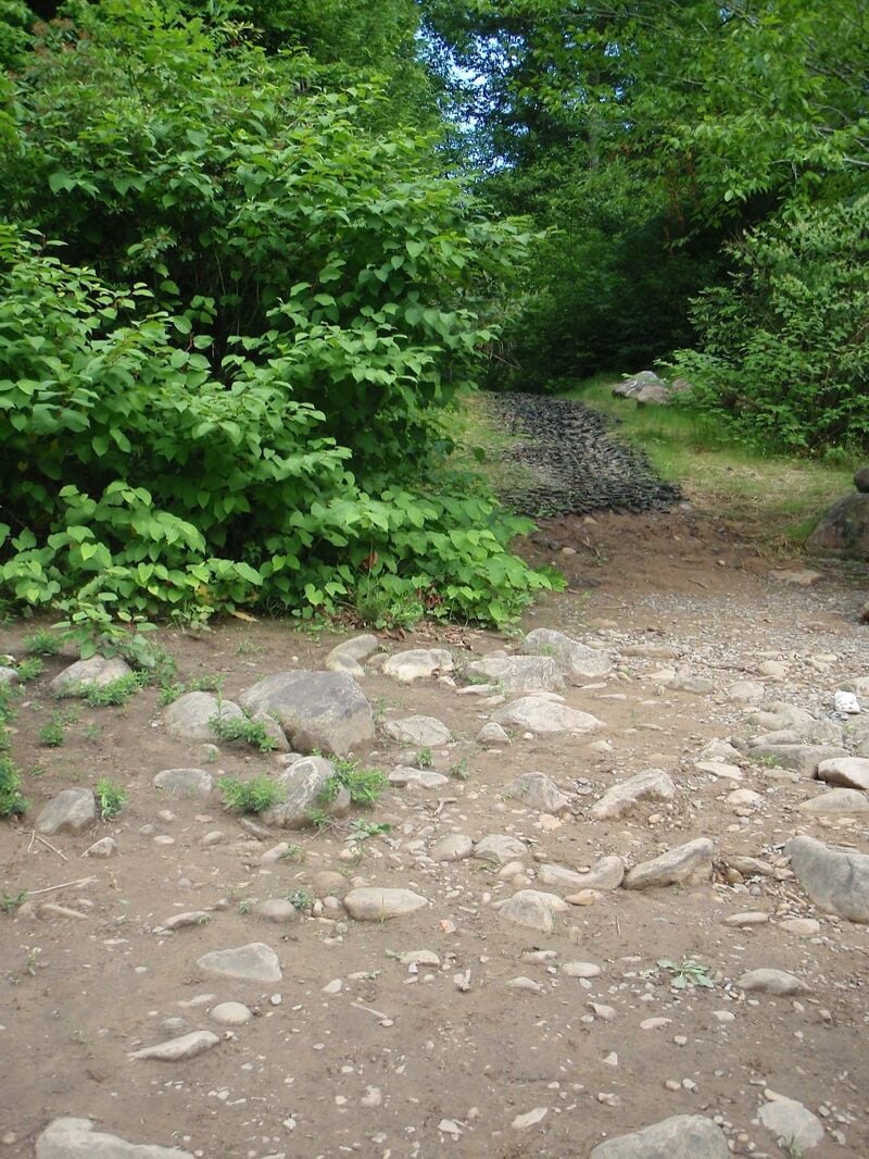
Take-out - about 200 yards below Jenkinsburg Bridge on river right, at the confluence of the Cheat and Big Sandy. Steep trail up to parking lot offers a workout for those neglected legs.
Driving south on 26, look for the turn-off to Hudson Road (WV 15), about 6 miles South of I-68. It's just after a right bend in 26, and immediately in front of a Kwik Stop convenience store. Drive west for about 7 miles to Jenkinsburg. At a confusing intersection, take the straighter option (Mt. Nebo Rd.).
Jul 4, 2023