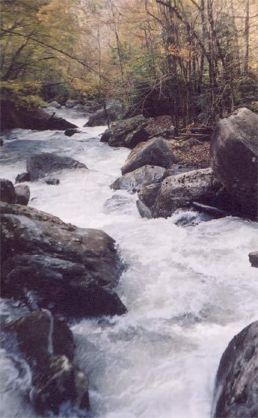
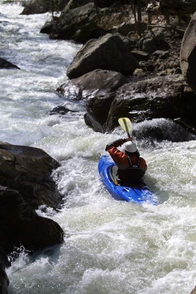
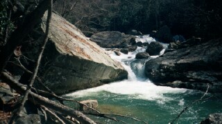
Manns Creek
2. Confluence with Glade Creek to the Confluence with the New River

| Difficulty | V+ |
| Length | 3.5 mi |
| Avg Gradient | 200 fpm |
| Gauge | Meadow River at Nallen, Wv |
| Flow Rate as of 1 hour | 202 cfsbelow recommended |
| Reach Info Last Updated | December 30, 2005 |
Standard put-in is at Babcock State Park on Glade Creek.
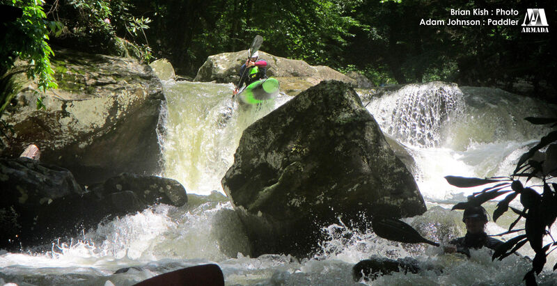
From the 2nd Footbridge down, named rapids include:
On Ramp
Off Ramp
Squeeze Box
Crack
Lunatic Fringe
(Real Mann's Confluence)
Ten Foot Pole
Mann Eater
Hammer Time
Double Play
Bouncing Betty
Pick a Slot
Mushroom
You Ain't Gonna Like This One
Liquid Drano
Gradient, mile by mile, in ft/mi. (from Topozone map): 180, 240, 240, 60/.6
From Jimmy Blakeney:
Just wanted to give an update on Manns Creek, West Virginia for the AW page:
MANNS CREEK HAS CHANGED (4/8/04)
If you run the creek now and have run it previously, you'll notice LOTS more little rocks in bad places. Not that there aren't clean lines, just that they are different now and with smaller margin for error.
ON RAMP is now portaged at lower levels due to the water changing course and making the normal line not so fun (usually a piton to flip into a pourover), but at higher levels (over 3 inches) you can run the nice boof on the right.
YOU'RE NOT GONNA LIKE THIS ONE changed a while back and now has a worse sieve, but is still run by some.
DRANO is the most dramatically changed rapid and even many of the locals portage on the right. It's still totally runnable, just worse consequences if you mess up. There's some new wood, but nothing unavoidable. The creek still kicks ass and is still one of my favorite local runs.
Brad Roberts noted on 2002-12-14:
According to Jimmy Blakeney on Prokayaker.tv, there is now a short takeout at Keeneys Creek. Keeps the shuttle a bit shorter than driving around to Cunard. There is a road at river level on river right.
Mar 7, 2011
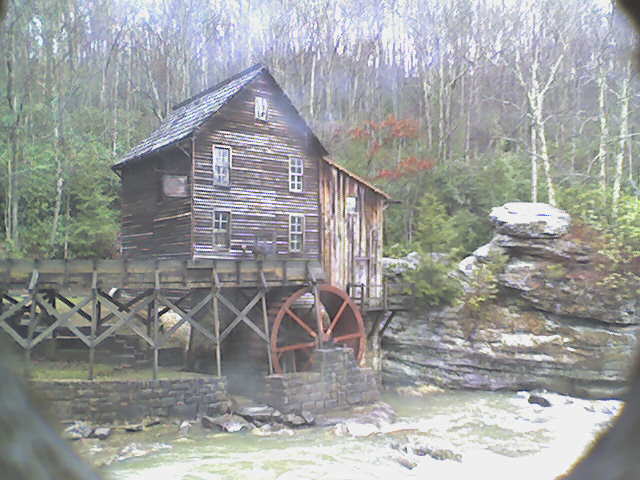
Recently the park has put up a live webcam image on their website (www.babcocksp.com) of the mill in which you can see enough of the creek to get a decent idea of what it is running. Here is a photo of the gauge at 2'.
Mar 7, 2011
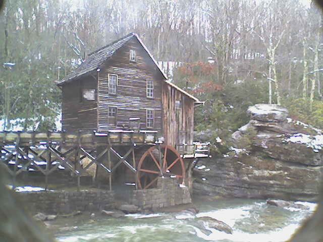
Recently the park has put up a live webcam image on their website (www.babcocksp.com) of the mill in which you can see enough of the creek to get a decent idea of what it is running. Here is a photo of the gauge at 5'.
Feb 13, 2010
Unguided first-timers should allow at least 10 hours for the run. The first descent took ten hours. Maybe super-hot boaters can do it faster, but if you don't know the rapids, prepare for a very long day down to the New River.