Meadow (Gauley River trib.)
1. East Rainelle to Russellville(Upper Meadow)
| Difficulty | III-IV+(V) |
| Length | 6.1 mi |
| Avg Gradient | 32 fpm |
| Gauge | Meadow River at Nallen, Wv |
| Flow Rate as of 1 hour | 202 cfsbelow recommended |
| Reach Info Last Updated | June 12, 2024 |
Putin: (Burdette Putin info) From The takeoput at the Russelville Trailhead, drive 5.2 miles north-east on Quinwood Nutterville Rd. Take a right on Hurricaine ridge road (sometimes rough gravel) for 3.7 miles until you can see the river on the right and there is a small pullout and road to walk down to the river.
Takeout: Just above the bridge on Nutterwood Road which is just off WV 41. There is now a new parking area (2023) for the meadow river rail trail (Russelville trailhead) on river right before you get the the bridge.
Note: One option to bike/run the shuttle involves less than 6 miles on the freshly done (2023) beautiful Meadow river rail trail (https://meadowriverrailtrail.com/) that overlooks the river for several miles.
Jun 25, 2020
I've been paddling the Upper Meadow for decades, but today for the first time paddled from Rainelle to Russellville, the stretch described here. Years ago we used to put in at Corliss, river left, for an 8 mile paddle that used to involve a long walk in but today can be accessed to the river bank by four wheel drive or within 1/4 mile by two wheel drive.
The generally used access these days is at Burdette, putting in river right at the mouth of Burdette Creek, just below the railroad trestle for a six mile run with whitewater right off the bat.
Today we checked out the flatwater section starting at Rainelle, putting in at the railroad trestle just above the rail trail entrance by the lumber mill on Snake Island Road.
Flow was about 575 cfs, which still provided good current in the flat water and got us to the Corliss access in a couple hours. That section is indeed mostly flat, with a few class I maybe II small rapids, with beautiful scenery that would make a good canoe trip, flotation optional. After a 20 min lunch break we continued down to the real whitewater, which is still entertaining with minimal scraping at this level. Personally I'll do the Upper Meadow down to 400 cfs, but that does get a little scrapy towards the end. The major rapids all chanellize nicely though. Today we were plenty satisfied by the level, multiple slot moves, and entertained by two otter who ran the rapid with the mid stream boof about a half mile below Natural Weir just in front of me, chattering away, then showed as much interest in us as we did in them for several minutes in the eddy below.
We hit the takeout in Russellville 4 1/2 hours after our Rainelle put in with big grins, no mishaps, and minimal scraping. A fine day!
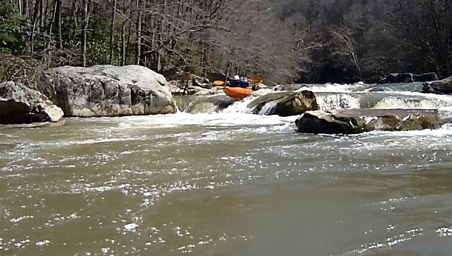
Apr 12, 2015
Brandon Holley styles the weir
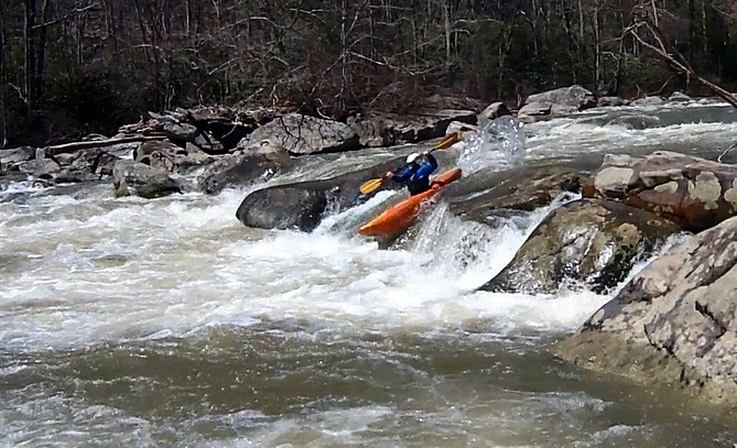
Apr 12, 2015
!300 cfs, typical rapid
May 11, 2014
Paddled the Upper Meadow today with 764 cfs on the Nallen gauge. It was comparable to about 850-900 cfs on the old Mt. Lookout gauge, which is in the ballpark of the USGS data that states the Nallen gauge is about 80% of the old Mt. Lookout gauge. Mid-700's was getting scrapey. I'd say mid to low 700's on the Nallen gauge is the low end of good.
The road to the put-in is in very good condition. It's been graded, and most of it has new gravel on it. Unless there's snow on the ground, I'd drive a two-wheel-drive car on it.
May 10, 2014
The Mt. Lookout gauge (USGS site 03190400) appears to no longer be available. However the Nallen gauge (USGS site 03190000) is available and is closer to this section. A reduction of the USGS data for 4/1/2013 to 3/30/2014 shows the flow at Nallen was 80.0 % of the Mt Lookout flow when mt Lookout was between 1000 and 2000 cfs.
Mar 3, 2007
In Corrine Walter's posting, I meant to say, 'drive west' for 1/4 mile to Corliss Rd. Oops! Also, at good levels, I consider this to be the ultimate Class 4---great fun!!!
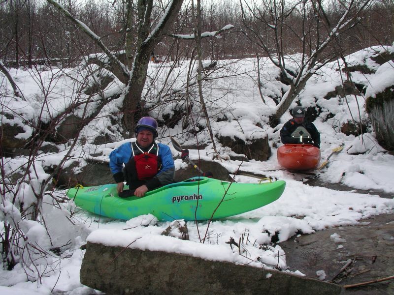
Mar 12, 2005
Beautiful winter day on the River
Jun 4, 2004
A good put-in: from takeout bridge, head east for a quarter mile; turn left up Corliss Rd. Turn left at top of hill. Go left at T. Veer right, through Corliss. Follow road over hill to a tiny creek down by the river. Hike ~1/2 mi to Meadow. This cuts out ~6 miles of flatwater, and allows ~one mile of warm-up. ---Robert Farmer
Apr 23, 2004
I would say the ideal level is 800 - 1000cfs as its real technical and not too pushy. I've heard at 2000+ it gets pretty big, but it has some great, low-stress, technical elements that you lose at higher flows. If everything else is too high, this is a great fall-back and you won't be bored. The shuttle is pretty tricky if your trying to cut out the flatwater though as it is miles of a dirt road through clear-cut land.
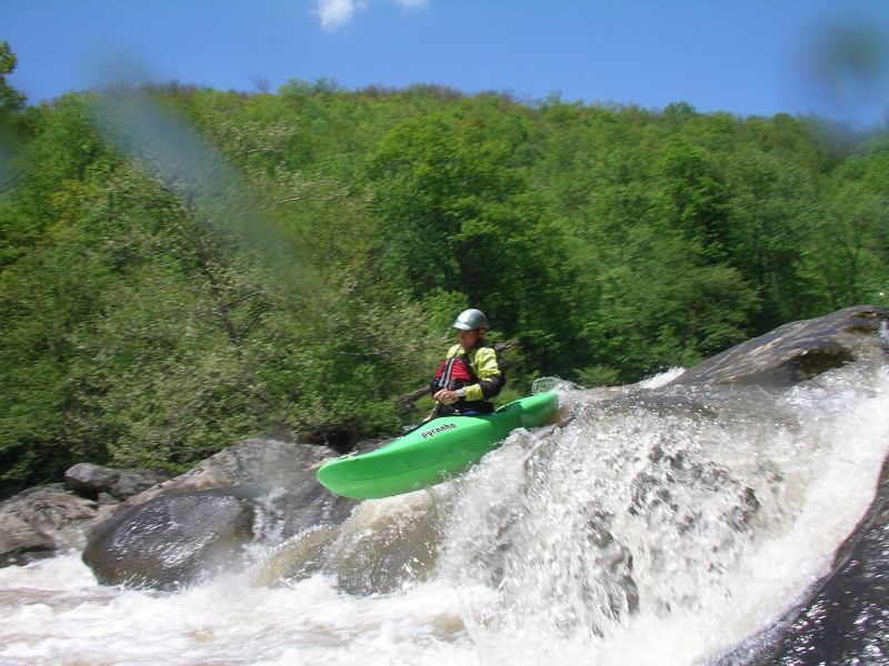
Jul 26, 2001
I've done the Upper meadow twice. The first time at about 1250 cfs and the second over about 2200 and rising. At the first level, I'd say the river was class III- lower class IV.
At the higher level it was very difficult and I'd say it was in the solid class IV - lower class V range. A swim would have really been a bad idea at higher water.
A fantastic run at 1200 cfs+ though.