Potomac, S.Fk. of the S.Br.
4. Fort Seybert (CR 3 bridge) to Milam (CR 7/3 bridge)(Moorefield Canyon)
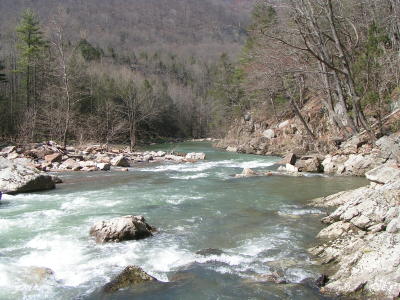
On April 22, 2008, in TS #2, the straight shot on the left had a log extending into the chute an unverifiable distance that was somewhat beneath the water but would be a lethal hazard if someone were swimming or got endered at the wrong time. The right to left move was good to go.
In the rapid just downstream where the river splits in two around an island, the Class II right channel was blocked by 2 strainers not visible from where you have to decide which channel to take; however, the Class III left channel was clear.
This was about 2.7, 450 cfs, on the Brandywine gauge.
There are also a half-dozen thin nylon strands extending across the river in various locations, seemingly marking boundaries for logging operations. All are easy to work around and in innocuous locations, but might flip someone who wasn’t paying attention.
No articles