Piney Creek
Beckley to the New River at McCreery

| Difficulty | III-V |
| Length | 12 mi |
| Avg Gradient | 80 fpm |
| Gauge | Piney Creek at Raleigh, Wv |
| Flow Rate as of 16 minutes | 2.23 ftbelow recommended |
| Reach Info Last Updated | May 5, 2023 |
River Description
Lat/longitude coords are approximate, from TopoZone.
From Chris Gorman, 2003-09-22 22:37:49
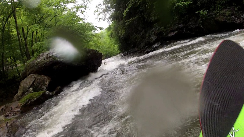
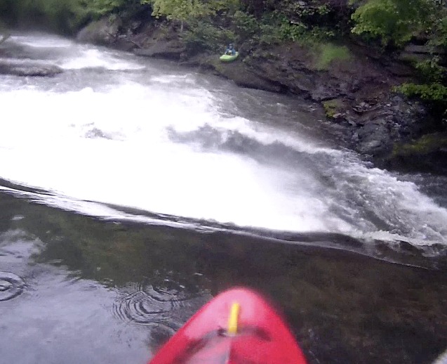
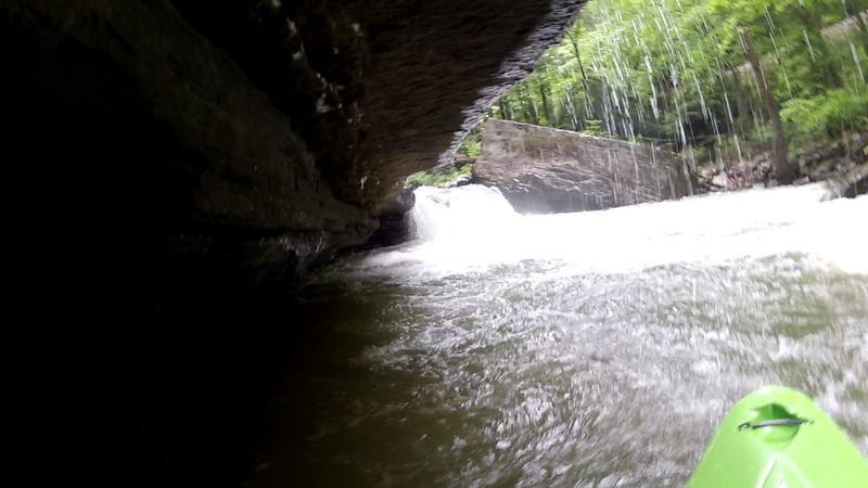
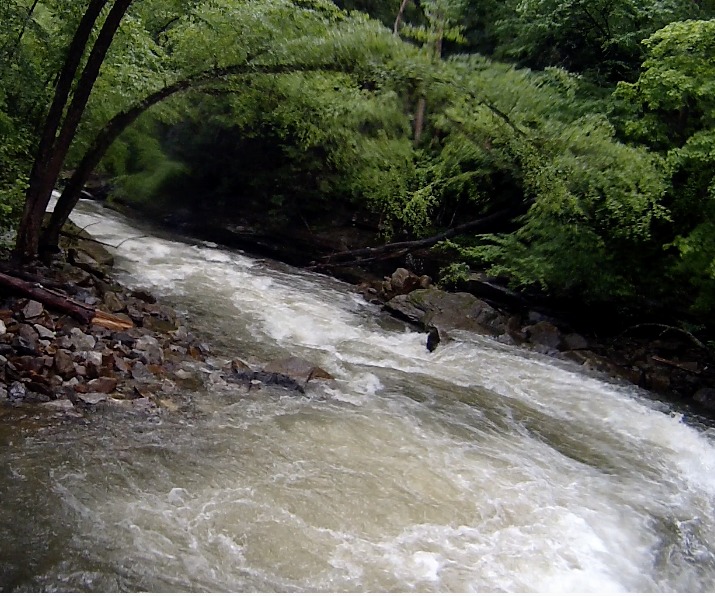
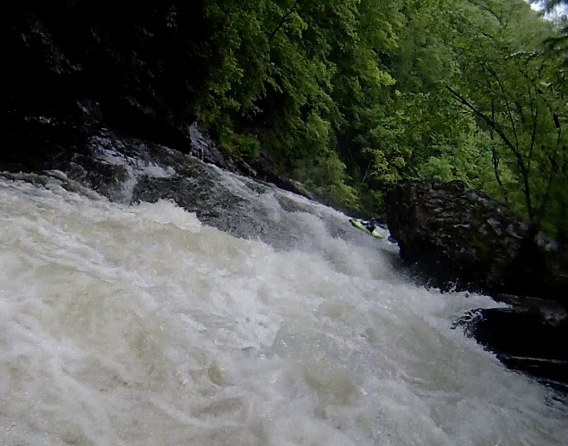
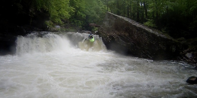
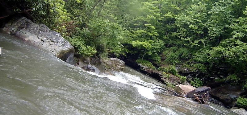
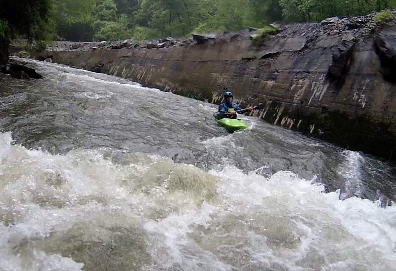
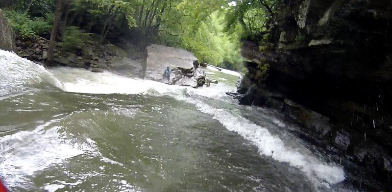
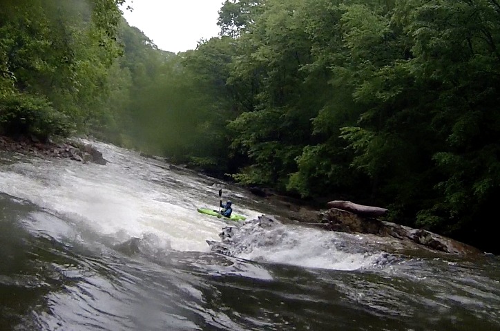
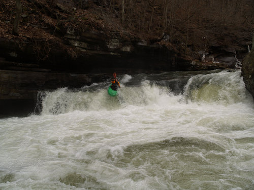
One thing about the river is the water quality is not great. It runs right past a sewage treatment plant that dumps into the river. It is a cool run though, it starts with about a mile of boogy water then there is a 5' drop onto a slide and some more boogy water (about 10' if you run the left). Then the pace picks up and it gets fairly steep and continuous. There were a couple slides into huge holes with undercut/sieves on the left side. Then there is one 8-foot waterfall that has a huge undercut on the left. There are some other cool rapids but everything is scoutable. The one drawback of this river is the length; it runs right into the confluence with the New and is some 3-miles of tiring rock dodging at the end. Railroad tracks run the entire length of the river.
Mark D'Agostino adds (2003-09-23 20:50:08):
We ran Piney on 9/20/03. It is indeed one of the nastiest smelling creeks I've been on, but still fun. At 2.6' on the USGS gage, the run was a solid medium level to me. The extended boogie sections are covered well enough to not detroy your boat. The short steeper stretches at the top (ending in big rock falls) and after the coal mine (flusher) packed some punch. Not the best run in the area but still worth a trip.
River Features
Put In
Take Out
Trip Reports
Log in to add a reportMike Beswick
May 15, 2016
Ran Piney on May 14, 2016, 166 cfs, or 2.9 on the gauge. Plenty of water at this level, as is evidenced by the photos on this site. I think this creek has been unfairly maligned, there was no odor , the water was relatively clear, and there was no discharge apparent from the sanitation plant. Hardly any slack water on the entire run, we did it in under 3 hours, stopping to look at the big ledge, and the old mill ledge. While there is an approximately 1 mile pretty steep section, the whole run requires paying attention, and starts to feel a little fatiguing towards the end. Easy shuttle, remote canyon and great rapids, I'd recommend strong boaters put this ' hidden' gem on their list
Mike Beswick
May 15, 2016
Typical of rapids in the steep section, there are hazards throughout the run
Mike Beswick
May 15, 2016
Can run this left or right, if left, have right angle to avoid undercut shelf
Mike Beswick
May 15, 2016
This is part of the mile that is steepest, this 8 footer immediately feeds into the largest falls on the run
Carson Wright
May 15, 2016
Mike dropping the river right side of the big ledge. You can see the ominous cave on the river left side of the drop.
Mike Beswick
May 15, 2016
Ran Piney on May 14, 2016, 166 cfs, or 2.9 on the gauge. Plenty of water at this level, as is evidenced by the photos on this site. I think this creek has been unfairly maligned, there was no odor , the water was relatively clear, and there was no discharge apparent from the sanitation plant. Hardly any slack water on the entire run, we did it in under 3 hours, stopping to look at the big ledge, and the old mill ledge. While there is an approximately 1 mile pretty steep section, the whole run requires paying attention, and starts to feel a little fatiguing towards the end. Easy shuttle, remote canyon and great rapids, I'd recommend strong boaters put this ' hidden' gem on their list


