Seneca Creek
2. (Lower) Forest Service Campground to Route 28 Bridge

| Difficulty | III |
| Length | 6.1 mi |
| Avg Gradient | 70 fpm |
| Gauge | N F South Branch Potomac River at Cabins, Wv |
| Flow Rate as of 1 hour | 4.22 ftbelow recommended |
| Reach Info Last Updated | April 25, 2006 |
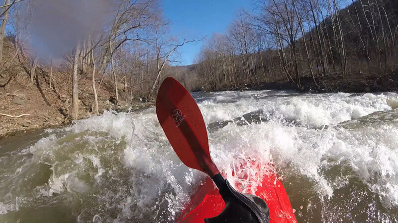
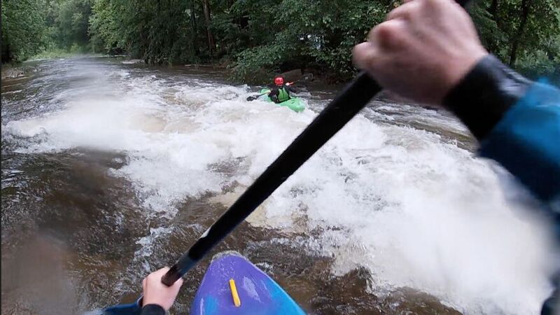
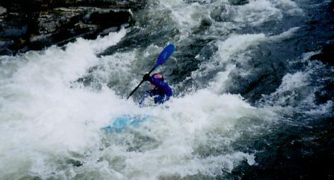
This stream has it's beginning at the highest point in West Virginia on Spruce Knob and spills sharply off the Allegheny Front. Unlike the waterfall-chocked and much harder upper section, this lower section offers a continuous Class -II-III slalom ride from start to finish that intermediate and higher paddlers can enjoy. The main hazard on this run is downed trees and two or three portages can be expected.
Putin along the county road 33-3 (a gravel road that turns south off state highway 55/33). There are pullouts along the way and there is a backcountry access at the trailhead where the creek turns away from the road. White Run, a rarely run Class IV adventure, continues along the road. The creek parallels the gravel road for the first 1 1/2 miles and the rapids are fairly continuous Class II to III ledge slides. The eddies are few, both because this is a small and steep stream and because some sections still reflected manmade channelizing following 1985 floods.
When the creek turns East, look for the first strainers in a bend that tends to pick up wood. Just below here you will encounter the first large Class III drop. This double ledge requires a careful line between offset and wide hydraulics. Below here you will encounter several easier ledge slides and hydraulics that give this section a roller coaster fell. As you approach the hamlet of Onego, begin looking for a pool above the biggest rapid on the creek. This Class III should be scouted the first time, as it requires a tight line between two beefy holes. Below here you will encounter additional hydraulics before the creek crosses under Route 55/33.
The rapids now tend toward chute drops with large eddies on the right or left. But things stay busy. When you can see Seneca Rocks in the distance you are in the final stretch of the run. There is an old 2 foot dam about 1 mile from the takeout that was best run on the right in 2001. From here, the water is primarily Class II boogie water.
...Feb 8, 2025
At 8.25 feet this should probably be considered class IV. The big holes and reactionary waves come up quickly. Few pools and eddies are hard to catch. A swim could be long and cold.
Jun 27, 2023
Great fun overall except the 2 locations with riverwide strainers as of 6/24/2023. They both seemed to be within the 1st mile of the trip with the first happening along whites run road where the creek splits into 2 directions at the first island. Both directions were full of wood with right being obvious from straightaway and left being less obvious around a bend. The portage there was easy. Next a short ways after the creek parallels the highway heading East the river splits into 3 directions with 2 islands, seeing that most of the flow went through the middle we chose this path only to find a river wide tree had fallen across the river. Exploring the channels to the right and left revealed strainers on both sides. Taking out on river left of the middle channel and portaging to the river left of the main channel after the right channel rejoined it was the best bet. After that the river was a ton of fun! Less scenic than North Fork South Branch Potomac but more exciting. https://www.youtube.com/watch?v=WcJnQvz3qsQ&ab\_channel=ChrisMayOutdoors