Seneca Creek
2. (Lower) Forest Service Campground to Route 28 Bridge

Feb 8, 2025
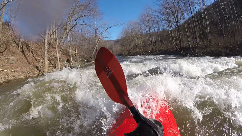
At 8.25 feet this should probably be considered class IV. The big holes and reactionary waves come up quickly. Few pools and eddies are hard to catch. A swim could be long and cold.
Jun 27, 2023
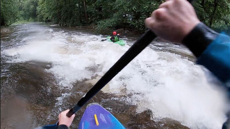
Great fun overall except the 2 locations with riverwide strainers as of 6/24/2023. They both seemed to be within the 1st mile of the trip with the first happening along whites run road where the creek splits into 2 directions at the first island. Both directions were full of wood with right being obvious from straightaway and left being less obvious around a bend. The portage there was easy. Next a short ways after the creek parallels the highway heading East the river splits into 3 directions with 2 islands, seeing that most of the flow went through the middle we chose this path only to find a river wide tree had fallen across the river. Exploring the channels to the right and left revealed strainers on both sides. Taking out on river left of the middle channel and portaging to the river left of the main channel after the right channel rejoined it was the best bet. After that the river was a ton of fun! Less scenic than North Fork South Branch Potomac but more exciting. https://www.youtube.com/watch?v=WcJnQvz3qsQ&ab\_channel=ChrisMayOutdoors
Jan 5, 2020
As of the 2019 season, the river was runnable with no river-wide strainers. The large tree that crossed the whole river (and could be boofed at high flow) has been pushed loose.
Apr 22, 2011
Every so often a huge log jam forms just downstream of White's Run, around the left turn, against the cliff on the right. By the time when you see it, you can't avoid it. Luckily, I found a boat-width slot, that time, when it surprised me. Hike down from the White's Run put-in to have a look before putting in.
Feb 23, 2011
Ran it on 02/21/2011. We put in right above the confluence with Whites Run. There was one strainer/portage just around the corner from that, followed quickly by a nuisance strainer that you could brute force through. Other than that no real strainers of consequence and a really fun run. There was the occasional piece of wood to be seen, but all easily avoidable. Exercise caution at higher levels because a few of these were duck-unders at levels around minimum, and could be problems with a lot more water.
Apr 26, 2008
This is a really terrific paddle, with nice scenery and an interesting variety of rapids. The first ledge is perhaps the trickiest, as you may not see it until it is too late, and there is a boulder right in the middle -- the best route is probably on the right. The second ledge, soon after Roaring Creek enters from the left at Onego, was easiest (altho a bit scrapey) on the left. The final ledge, Junkhouse Rapid, when you are within sight of Seneca Rocks, should also be run on the far left, to avoid a bad hydraulic. (The WV guidebook talks about a channel around this ledge, but that is no longer the case.) For a zero level, look from the downstream side under the bridge at Onego -- the tops of the white calcified marks on the middle pier, which look rather like a broken horizontal line, will be just at the waterline.
Mar 10, 2007
Just to emphasize: there is a double-ledge, double-hole drop behind a boulder where I got stuck and had to swim after coming down the upper section (not really Class 3, so much, at high levels). I've usually run it on the right, but that seems, uh, unsatisfactory. Try left.
And the ledge at Onego is truly terrifying at high levels. I snuck it tight right. Stay out of those holes, for sure!
Also, the log jam near the top can usually be snuck without portaging if you cut left way-high above the log jam.
Apr 13, 2001
The level is from the Petersburg gauge.
Jan 1, 1900
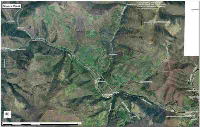
Designed for downloading and printing on 11x17 paper.
Jan 1, 1900
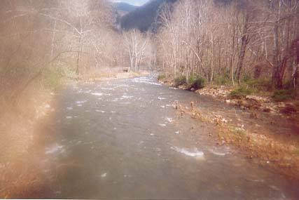
Looking downstream from bridge. This is a takeout for Seneca Creek or a possible put-in for the NFSB Potomac.
Jan 1, 1900
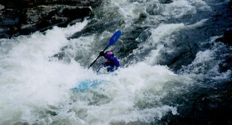
This is one of the first ledge slides on Lower Seneca Creek. Taken just below the putin at the bridge leading to the old Seneca Campgrounds