Greys
2) Little Greys River to Hwy bridge

| Difficulty | III-IV |
| Length | 6.3 mi |
| Avg Gradient | n/a |
| Gauge | Greys River Above Reservoir, Near Alpine, Wy |
| Flow Rate as of 16 minutes | 431 cfslow runnable |
| Reach Info Last Updated | September 29, 2025 |
On March 30, 2009 President Obama signed the Omnibus Public Lands Act of 2009 which included the Snake Headwaters Legacy Act that was originally introduced by Senator Craig Thomas. This milestone realized the goal of the Snake Headwaters Campaign to permanently protect the most pristine rivers and streams in [...]Read More
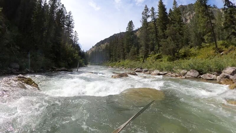
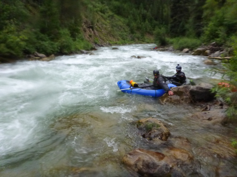
Video: Packrafting the Greys at 1000cfs
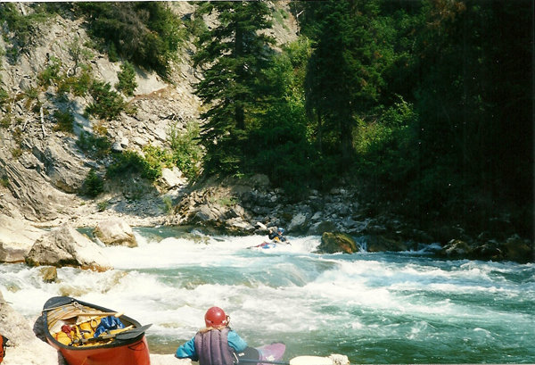
Rick Hill testified: 'Ran this 5/31/02, high brown water, 3.6 on guage at takeout. To get to take out, drive to town of Alpine. Drive up Grey's river road several miles to first bridge over river. There [was] a campground there [now its a day use area, with a new pit toilet and picnic tables]. That is the takeout. Proceed up road, scouting Snaggletooth on the way, for about 3 miles. You will see a road on your right going down to a bridge across the Greys; this is the put-in [great free camping on both sides of the river]. The run can be extended with additional class 3 by going farther upstream. In the stretch we ran there are 3 distinct rapids in increasing order of difficulty with the last being Snaggletooth (4+ at high water). Looks worse than it is. Some declined to run it based on its look, but those who did run it found it not as pushy as it looked, with plenty of time to make your moves. Reminiscent of the lower canyon of the Clearwater, ID.
Lat/Longitude data are very approximate.
Dave Duke sez: 'Maybe my favorite river anywhere....must make this one for great play (an ender spot to rival any), great waves, and Snaggletooth, one of the funnest drops around no matter the level.'
The local experts consider the Greys to be class V above 4 feet (~2700 cfs).
Greys River at 4.8' Last Night...Big Water! from Will Taggart on Vimeo.

A popular put-in, with free primitive camping. Nearest bathroom is at the take-out of the run. This makes the run 2.3 miles to the bridge take-out, and Snaggletooth is 1.6 miles from this put-in.
At low September flows (330), this putin cuts off some bumpy flatwater gives you the best rapids including the rapid above Slalom, and Snaggletooth.
The site of the fall Deb Martin slalom race. There is a turnout on the dirt road here, and several rather steep rocky ways to get to the river, which allow laps on the slalom course, or these could serve as the last putin/takeout above Snaggletooth.
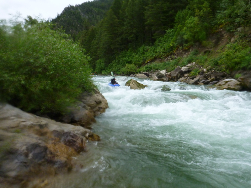
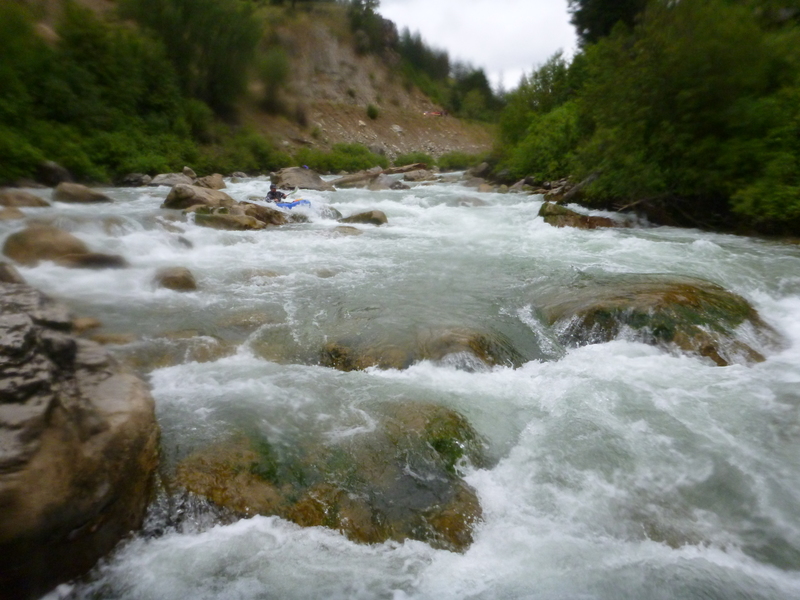
Road scoutable, this gem is the highlight of the run. There are many lines, but a good first-time line is often to start right, then catch a right eddy before the river bends left. Catch your breath, then ferry behind a prominent rock, then ferry/eddy turn toward the largest rock in the rapid; negotiating the next hole on the right if possible, although left or a center-punch can work too.
Harder at higher water. A swim in higher water can put you downstream into the river left logs at the next right bend fairly quickly.
Aug 13, 2022
Great low water run, had a couple first timers to the section so took our time. The first rapid has a verticle log in the left channel. Easy to spot and avoid. The rest of the run was very clean. minor rock bumping. just pick the channel with the most water.
Jul 10, 2016
The final leg of a great rapid!
Jul 10, 2016
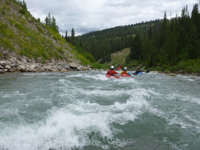
Really fun wave train - totally worth the extra miles.