Greys
2) Little Greys River to Hwy bridge

Aug 13, 2022
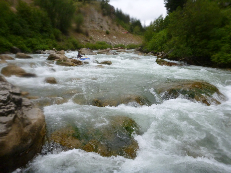
Great low water run, had a couple first timers to the section so took our time. The first rapid has a verticle log in the left channel. Easy to spot and avoid. The rest of the run was very clean. minor rock bumping. just pick the channel with the most water.
Jul 10, 2016
The final leg of a great rapid!
Jul 10, 2016
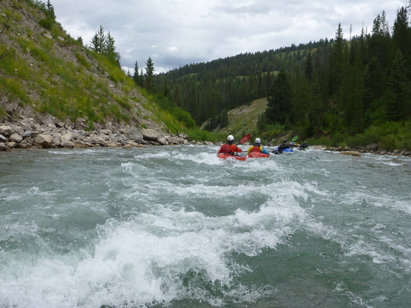
Really fun wave train - totally worth the extra miles.
Jul 10, 2016
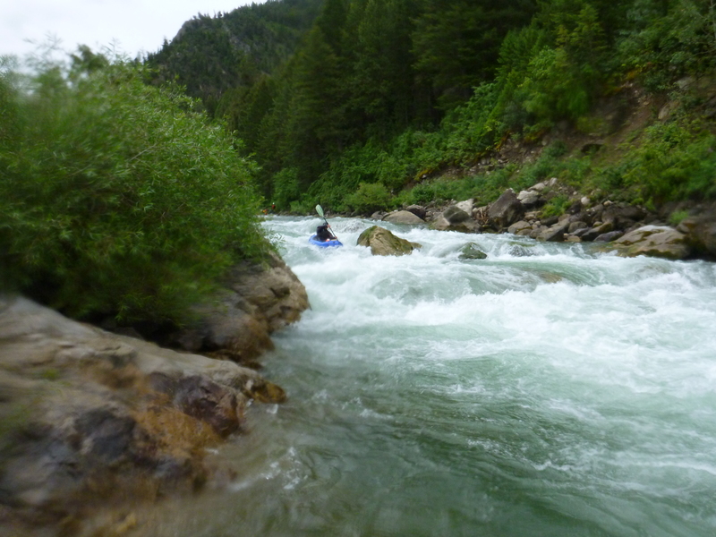
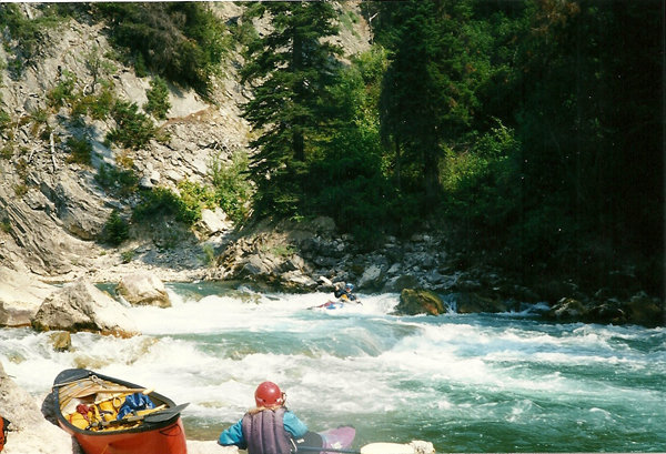
A crux move at the top of Snaggletooth Rapid.
Jul 10, 2016
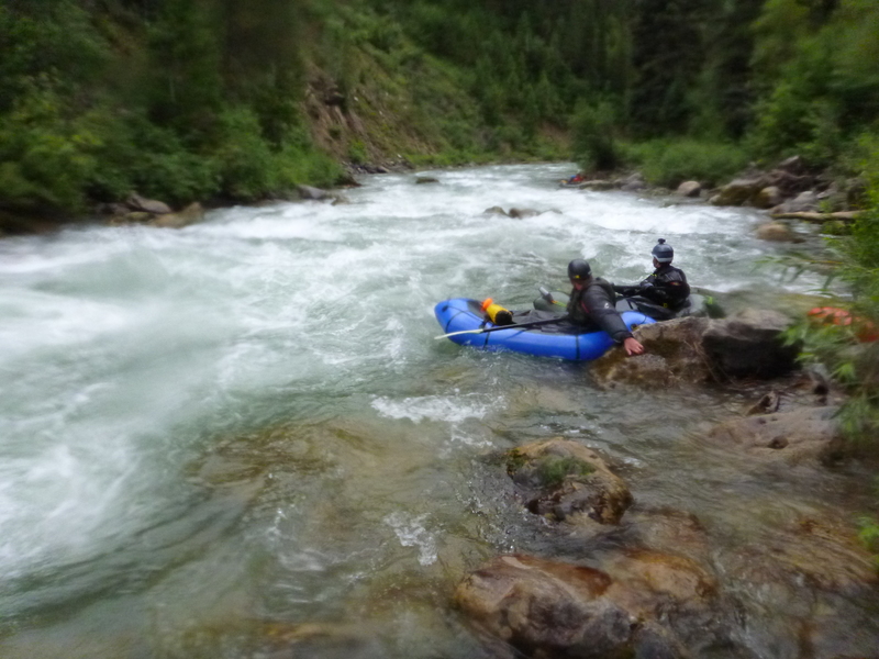
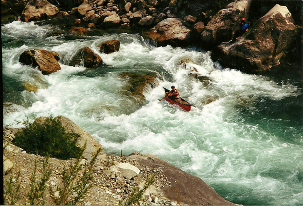
Staying left for the bigger water.
Jun 6, 2003
The gauge for this run is
USGS 13023000 GREYS RIVER AB RESERVOIR NR ALPINE WY
Jun 6, 2003
The gauge for this run is
USGS 13023000 GREYS RIVER AB RESERVOIR NR ALPINE WY
Jun 21, 2002
A good minimum level for this is about 500 cfs. Snaggletooth is fairly easy below 2000 cfs and gets big above 3000. There is a short gorge above the Little Greys confluence that is a lot of fun at higher levels.
Jun 3, 2002
Ran this 5/31/02, high brown water, 3.6 on guage at takeout. To get to take out, drive to town of Alpine. Drive up Grey's river road several miles to first bridge over river. There is a campground there. That is the takeout. Procede up road, scouting Snaggletooth on the way for about 3 miles. You will see a road on your right going down to a bridge across the Greys, this is the put-in. Run can be extended with additional class 3 by going further upstream. In the stretch we ran there are 3 distinct rapids in increasing order of difficulty with the last being Snaggletooth (4+ at high water). Looks worse than it is. Some declined to run it based on it's look, but those who did run it found it not as pushy as it looked with plenty of time to make your moves. Remeniscent of the lower canyon of the Clearwater, ID.
Jul 29, 2000
Jon Hitchings, running Snaggletooth rapid on the Greys at a very low level. Karen Egbert in the foreground, immortalizing her hubby in pixels.
Jul 29, 2000
Oci-One Kanubi (Richard Hopley) approaching the left bend into Snaggletooth at a very low level.
Jan 1, 1900
Great surfin wave on river right if you can make the ferry.
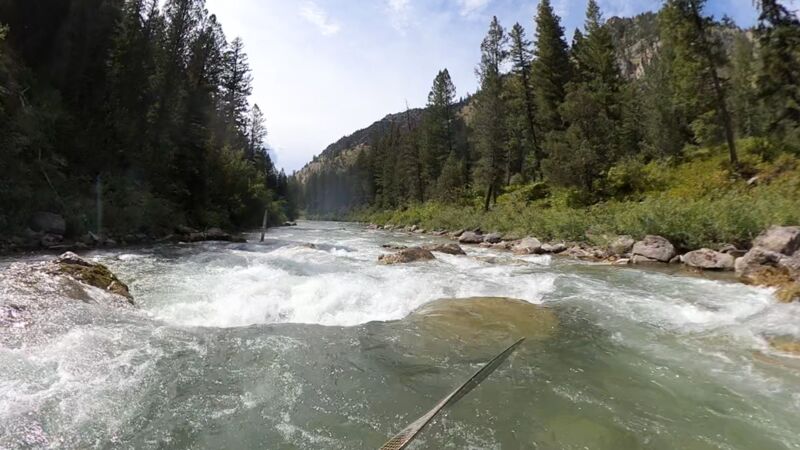
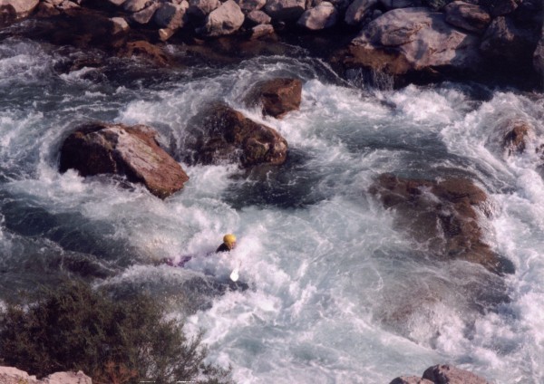
This is the middle of the top three holes that must be punched before entering the meat of Snaggletooth on Greys River, Jackson, WY.