Hulahula
Grasser's Airstrip to Arey Island (Arctic Ocean)

Jul 15, 2005
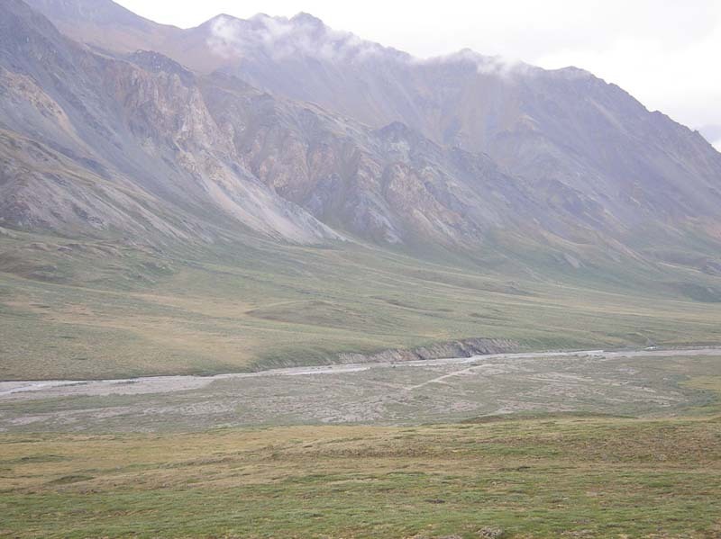
The upper river flows between the peaks of the
Romanzof Mountains and is characterized by class II
gravel bar rapids.
Most of the rapids are class II in the upper section but
therer are a couple places that may require a class III
move such as this one where most of the current
slammed into some boulders on river right.
This canyon did not contain any significant rapids and
it was relatively short.
There are a couple places where aufeis can persist into
the summer.
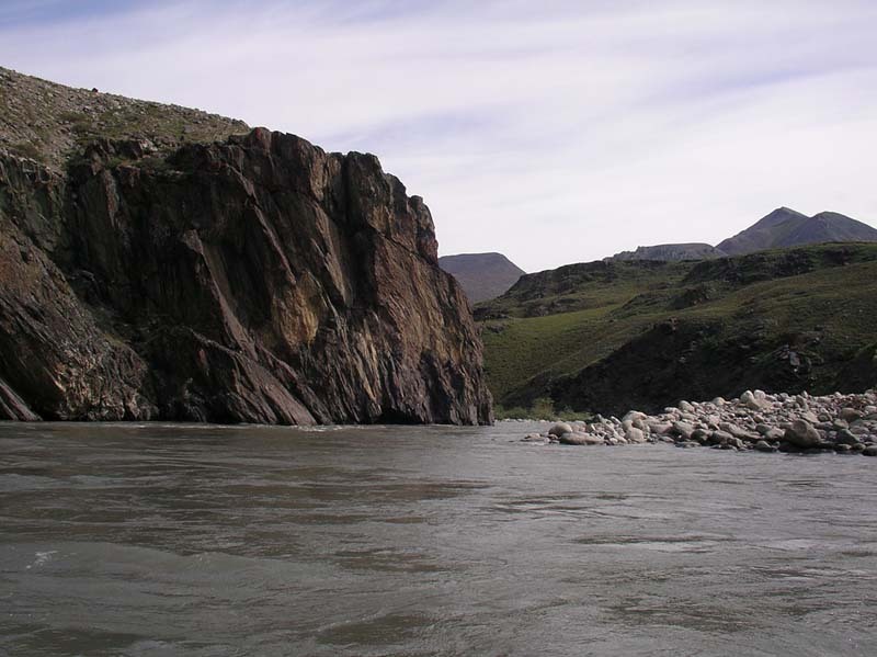
Before the river opens up onto the coastal plain it
passes through the most challenging rapids on the
run, a series of about a dozen class III headwall rapids
contained within a bedrock canyon.
This rapid is characteristic of those in the canyon
which are headwall rapids formed as the current
slams up against bedrock walls. Most of the dozen
or so rapids have a hole or two to dodge. Skilled
paddlers will be able to boat scout these drops but
you can also hike along the canyon to view them or
hope out to scout them from river level as needed.
As the river leaves the mountains and emerges from
the canyon it continues for several more miles as a
relatively constrained channel with fun class II rapids.
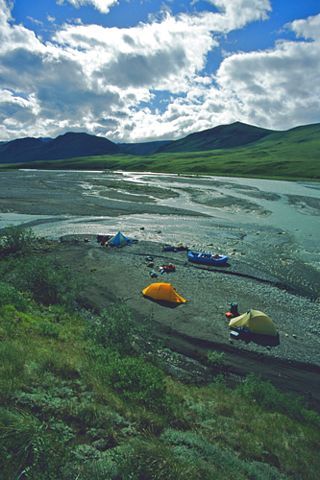
The wide open expanse of the coastal plain provides
amazing views for hundreds of miles. This is the heart
of the 1002 area that could be tapped for oil.
While the channel is relatively constrained for much of
the journey across the coastal plain it begins to spread
out as multiple threads. At medium flows you should
still be able to find a channel with plenty of water.
A short distance upstream from the mouth of the
Hulahula.
Standing at the mouth of the Hulahula and looking
back upstream.
If your boat and gear are not too heavy a popular
option is to portage across this tundra pond
(70.05197N, 144.02497W, WGS84) near the mouth
of the Hulahula where you can cross over to the
Okpilak and take the channel that heads out to Arey
Island.
The crossing to Arey Island may include as much
walking as paddling. At the mouth the Hulahula and
Okpilak dump a large load of fine sediment resulting
in many shallow channels.
Arey Island is the pickup point for trips that continue
out to the mouth. This approximately 10 mile barrier
island is a narrow strip about a mile offshore that
extends from the mouth of the Hulahula to Kaktovik.
This village on Barter Island is the place where most
trips to ANWR start and end.