Mountain Fork
2. Reregulation Dam to Hwy 70 (3 miles)(Lower Mountain Fork or LMF)
| Difficulty | I-II+(IV) |
| Length | 3.2 mi |
| Avg Gradient | 10 fpm |
| Gauge | Mountain Fork Near Eagletown, Ok |
| Flow Rate as of 1 hour | 1090 cfshigh runnable |
| Reach Info Last Updated | October 4, 2006 |
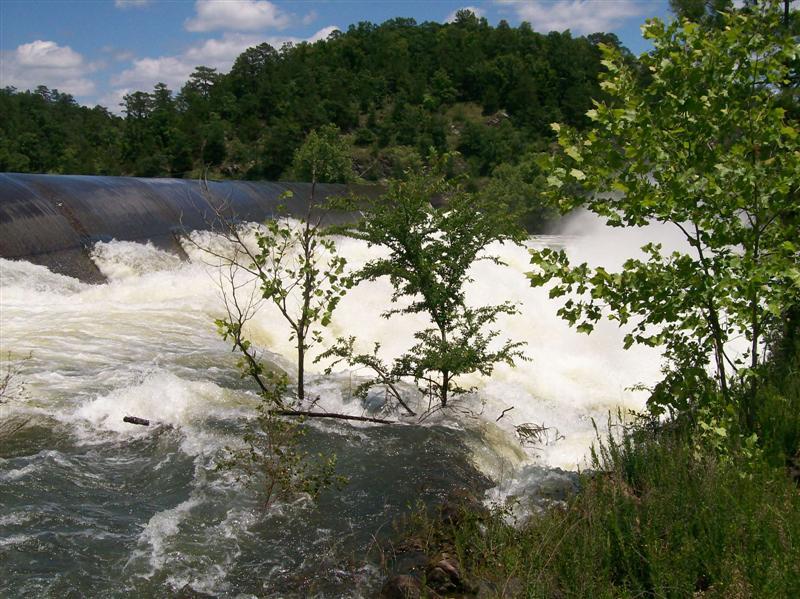
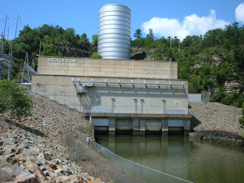
Located in extreme Southeastern Oklahoma, the Lower Mountain Fork River below the Reregulation dam is a popular summer recreation spot. At medium flows, this is an excellent river for learning and developing basic whitewater skills. Water quality in this clear, rocky stream is very good, with water temps kept at or below 70 degrees to support a healthy trout poulation.
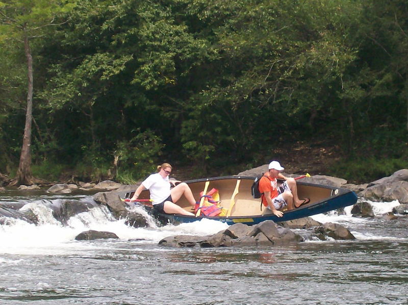
After leaving the campground at the putin, you won't see any signs of development until you come to the old iron bridge at the takeout. On busy weekends during the day, you will most likely see plenty of rental carnage, with the Rock Garden, Chute and Presbyterian Falls areas being some really good places to 'kick back and watch the show.' After 4 or 5:00 though, this usually changes. All the rental boats are gone, and the 'release water' often starts showing up. Beautiful scenery, solitude and much better flows is what you will often experience then.
Minimum flows in the 120 - 200 CFS range make this section of river popular with beginners and will be really bony in spots, especially through the Rock Garden. Releases that are usually scheduled late in the afternoons during the hotter months can change the character of the river quickly and dramatically. In the drier months of the year stream flows above about 120 CFS depend upon the number of hydroelectric power generators (there are two) running and the length of time they run. Generally speaking, one generator running for three hours can produce roughly 500 - 1000 CFS, slowly dropping back after the crest. This is dependent upon how much water was behind the reregulation dam prior to release. Two generators for a similar period of time can produce 2-3000 CFS.
(Generation / streamflow ratios given as a rough guide only).
At flows of 2000+ the river exceeds the class 2+ rating and runs should not be attempted by paddlers without at least strong intermediate whitewater sk
...
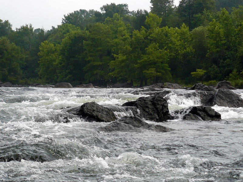
Boulder garden with ledge drop water falls. Features a couple of tight turns at medium flows that require some quick maneuvering. At flows of 400-2000 there are a few small play spots here. Rock Garden washes out under extended two-generator releases.
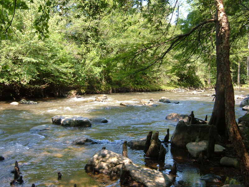
This route is an alternative to The Chute and runs parallel to it. Stay to river right after the Rock Garden to run The Ledges. The Ledges are very bony at low levels, and not really worth the trouble at levels less than 400cfs. At levels above 400 the action picks up and and offers technical rapids, ledges and pourovers. At higher levels several good surf spots and playholes develop. There are three main rapids (and numerous smaller ones) in this section. At first, this route winds through boulders, small islands, Cypress trees, Cypress knees, and low hanging limbs. Very scenic. Go through that stuff and then you will come to a small rapid to the right that will flatten out some before the next drop. The crosscurrents in this area can be a little tricky at higher flows.
The first main rapid is 1100 Springs. Enter to the right,down the ledge, avoid the boulders, and make a quick left to go through the wave train. Good surf spot at levels above 1000, but can be played at 400+. This is a good place to learn how to surf at medium levels. The water flattens out again here and there will be several rapids coming in from the left. At the right levels there are some small small holes/rapids to play in. Another good learning spot.
Next is the rapid above Bubba. Nice waves form over 1000, stop and surf a while. Quick ferry to river right will put you on the line for Bubba. Go just to the right of the large boulders. Or you can continue straight down the wave train and over the ledge left of Bubba for a more technical run. Try not to swim here.
Bubba is the hole below the pourover on the last ledge before Presbyterian Falls and is a popular playspot. At low levels the hole is deep and not very friendly. At 400+ it can provide quite a lot of action. Lots of submerged rocks in this area - use caution.
Stay to river left to run The Chute, a tight fast chute dropping 15' in 1/3 mile. This can be bony at minimal water levels, but picks up to be a nice class II rapid at levels between 300 and 2000. Quick maneuvering can be necessary to avoid several hazards. Low hanging tree in the middle of the first drop can be very hazardous at high levels - stay to the left. Watch for cypress knees throughout the chute as well. Probably one of the biggest hazards to be encountered here are the pinned-up and unmanned rental boats, and 'swimmers'. (If you don't feel like messing with any of this, then go down the other side, The Ledges -- far fewer renters will go that way). Eddy out on right at end of The Chute before running Presbyterian Falls, or paddle back up to the right to access Bubba.
This river wide ledge with 3 foot drop is a popular summer hangout. Run it down the middle. Parking is available to access this feature. A portage trail on river left runs the entire length of the chute to access the top of the chute. From the end of the portage trail at the top of the chute you can also paddle upriver on relatively flat water 500 feet or so to access The Ledges.
Note - Keeper hydraulic forms at the falls at levels somewhere between 2000-4000 CFS.
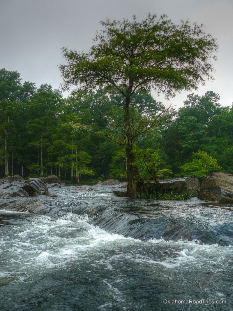
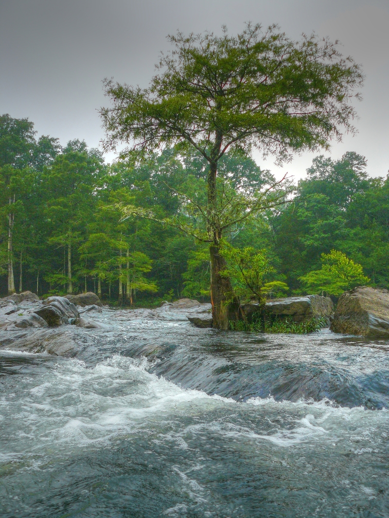
Beyond Presbyterian Falls, the river widens, flattens out and runs fairly straight for about a mile and a half, then becomes channelized and splits around an island at lower levels. Run right of the island through the wide shallow channel. At the end of this channel there is a leaning cypress tree in the middle of the chute that has pinned, wrapped, and broken many canoes and has caused quite a lot of problems for unsuspecting boaters. The higher the river level, the greater the chances for problems here. Most will run the narrow passage to the left of this tree. Whichever route you choose, make your decision as soon as you see the tree and stick to it. Last minute indecision here will likely lead to an unpleasant encounter with the old cypress tree. Note: The island mentioned above will flood out at levels above about 2000, making the route somewhat more difficult to find. Strainers can be a big problem if you somehow end up in here when this area is flooded.
Oct 3, 2010
The Cypress trees on the Lower Mt. Fork River make it scenic, the whitewater makes it fun! Broken Bow is my favorite Oklahoma paddling destination.
Oct 3, 2010
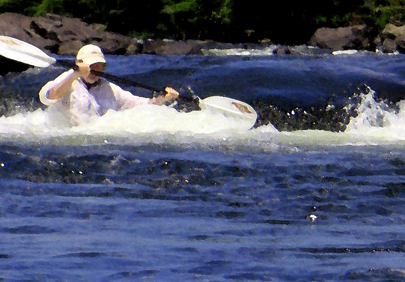
Just below a hydro dam in Broken Bow, OK you will find 3 miles of very fun Class II whitewater. Cold, clear and scenic, this water runs all Summer long most years. One of three areas in Oklahoma where Kayak rental is commonly available.
Jul 18, 2010
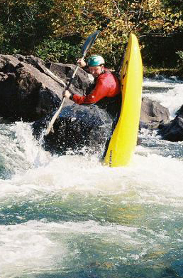
The Lower Mt. Fork River near Broken Bow, Oklahoma. Three miles of Cypress trees and Spanish Moss adorn this fun river just below a hydroelectric generating dam. Class II - Class III clear water kayaking all Summer long. I took this shot sitting in an eddy in the Rock Garden. The first section of the LMF River.