Mountain Fork
2. Reregulation Dam to Hwy 70 (3 miles)(Lower Mountain Fork or LMF)
Oct 3, 2010
The Cypress trees on the Lower Mt. Fork River make it scenic, the whitewater makes it fun! Broken Bow is my favorite Oklahoma paddling destination.
Oct 3, 2010
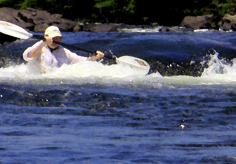
Just below a hydro dam in Broken Bow, OK you will find 3 miles of very fun Class II whitewater. Cold, clear and scenic, this water runs all Summer long most years. One of three areas in Oklahoma where Kayak rental is commonly available.
Jul 18, 2010
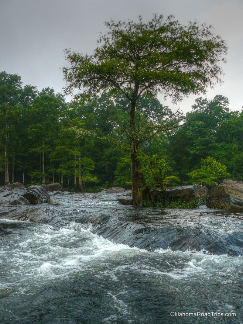
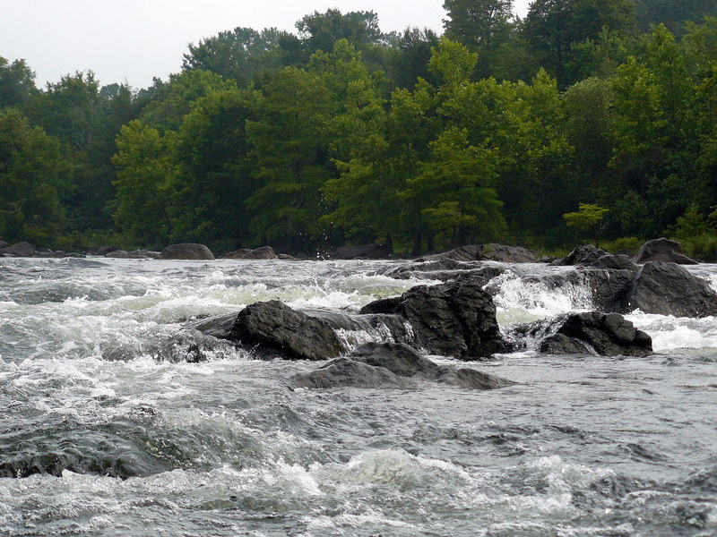
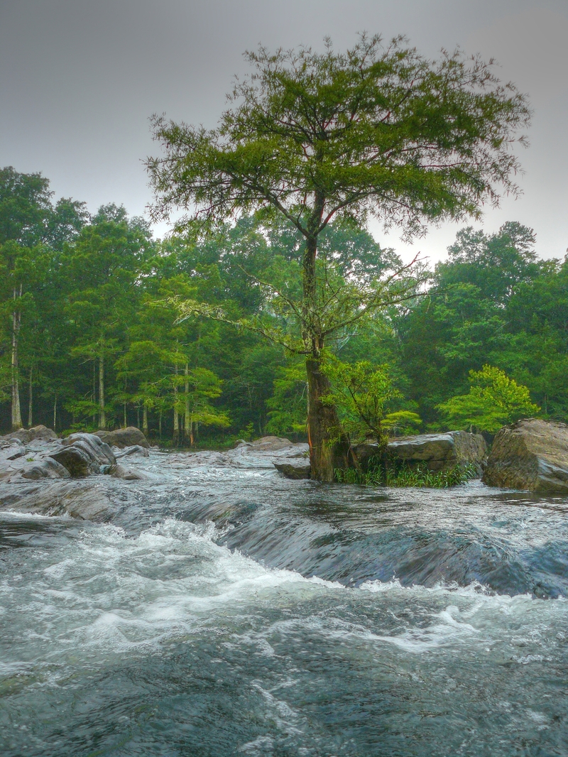
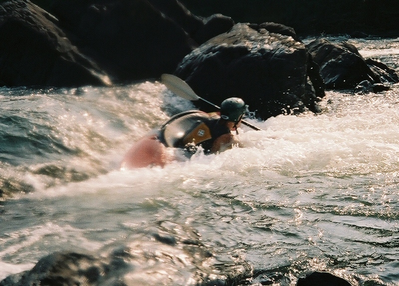
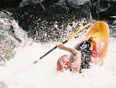
The Lower Mt. Fork River near Broken Bow, Oklahoma. Three miles of Cypress trees and Spanish Moss adorn this fun river just below a hydroelectric generating dam. Class II - Class III clear water kayaking all Summer long. I took this shot sitting in an eddy in the Rock Garden. The first section of the LMF River.
Oct 2, 2009
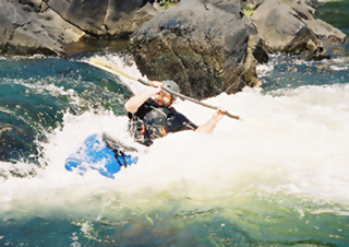
Jay Garrett takes Presby Falls
May 29, 2009
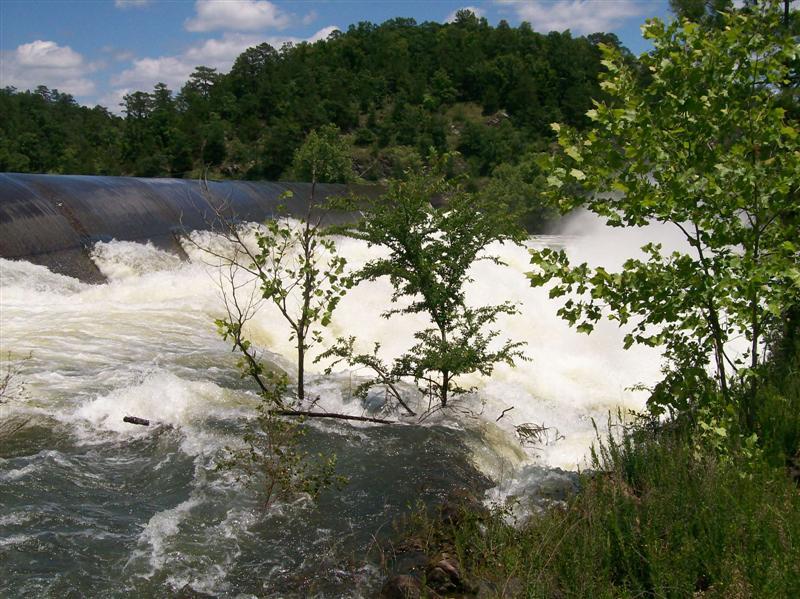
I talked with David Stewart this morning and the plans are to close the tainter gate at the spillway this afternoon and continue with the releases through the Power House. It is estimated at this rate that the river will return to floatble levels in 15-18 days
May 29, 2009
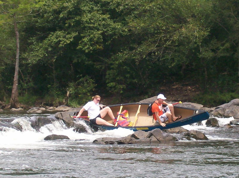
taking the wrong route in a canoe
Jul 15, 2007
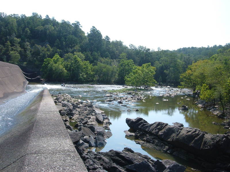
Rereg dam from west side.
Put in looking downstream towards the Rock Garden
I think this is the end of the Chute a little ways upstream from the falls. This is looking upstream.
I think this is the lower end of the CHute looking downstream towards the falls.
Jul 14, 2007
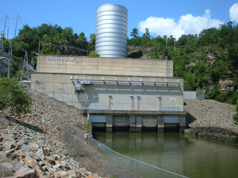
This is the hydroelectric power plant at Broken Bow Lake that controls the water flowing down the lower Mt Fork.
Jul 10, 2007
Park rangers probably won't like it much if they catch anybody trying to run the concrete dam chute since it's illegal. That's not saying it hasn't been done at minimum flows. Attempting to 'run' the rereg dam when the water is blasting full tilt (or any other time for that matter) ain't a real good idea either; since the river immediately below the dam has some of the nastiest upstream pointing undercuts I've ever laid eyes on. Don't really think anyone, regardless of 'skill level', could survive such a pinning/thrashing. Unrunnable, IMO.
Aug 20, 2005
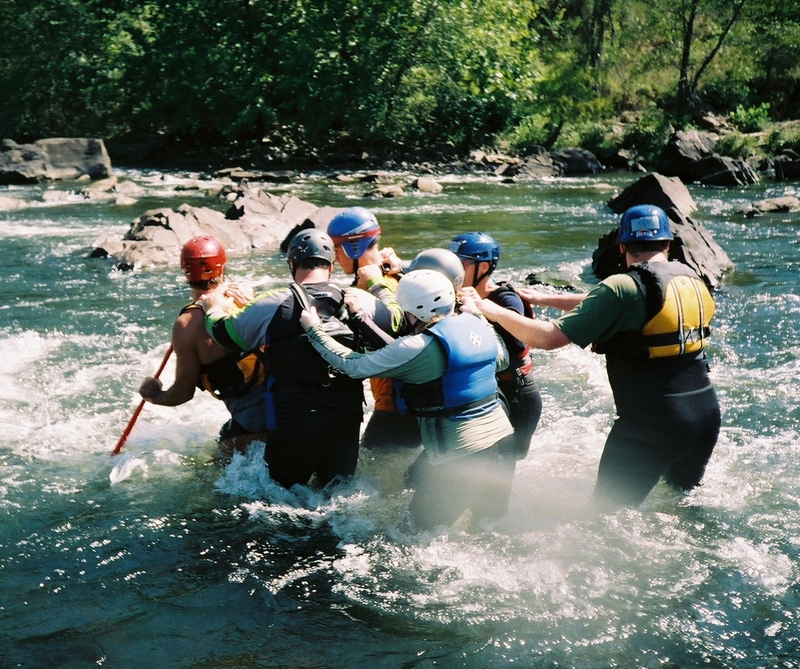
Six person wedge lowering to entrapped victim. (Drill)
Live Bait with Tethered Rescuer
Strainer pole simulation with 'Lifeguards' for protection.
Aug 7, 2005
USGS water data was unavailable on this date because of a gap in recorded data. My educated guess is somewhere in the 200 CFS range.
Jan 1, 1900
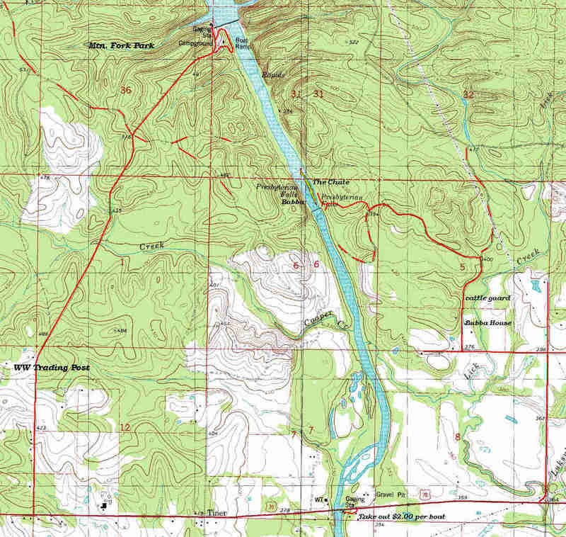
Please note: For takeout at HWY 70 do not park on the outfitter's lot, park directly under the bridge. The 'take out $2.00' note on the topo map is no longer applicable.
Jan 1, 1900
Do not try to run the rereg dam.