Pit
Pit 2: Pit River Campground to Highway 299(Pit 2 Run)
| Difficulty | II |
| Length | 2.9 mi |
| Avg Gradient | 28 fpm |
| Gauge | Pit R Bl Pit No 1 Ph Nr Fall River Mills Ca |
| Flow Rate as of 1 hour | 883 cfsrunnable |
| Reach Info Last Updated | February 6, 2026 |
The Pit River is the largest river in northeastern California; its watershed is 4,324 square miles. The Pit flows in a southwesterly direction through valleys and basalt canyons before being inundated by Lake Shasta, where the confluence with its main tributary, the McCloud River and the Pit’s confluence with [...]Read More
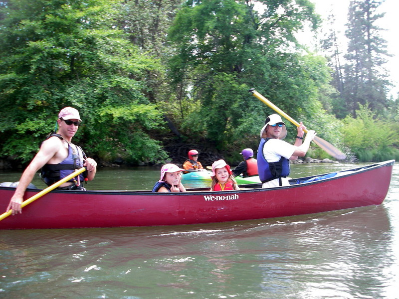
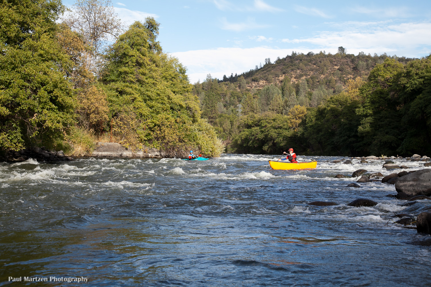
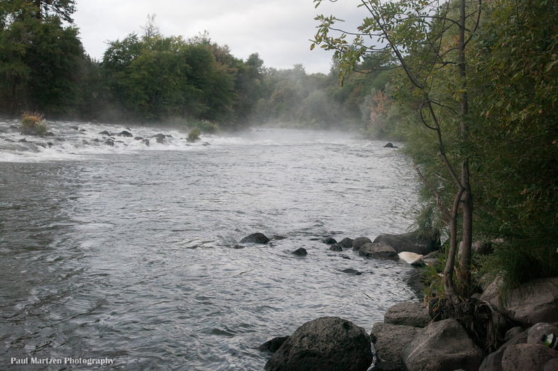
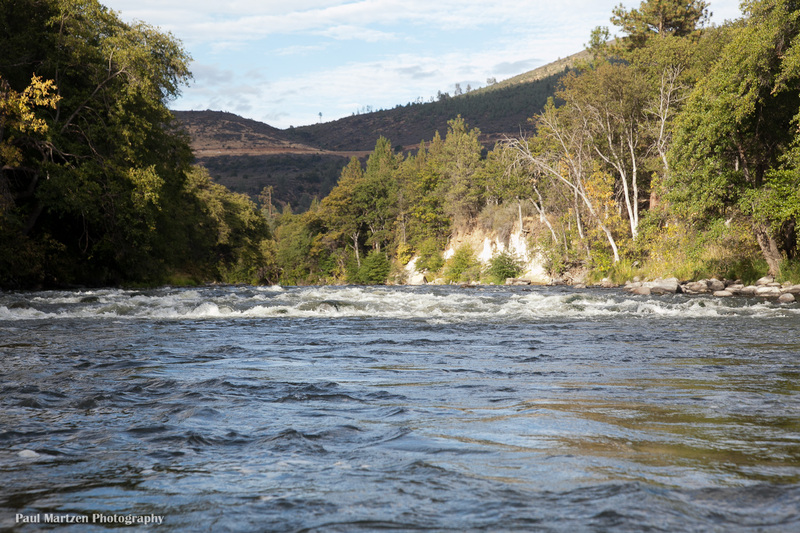
This river section has terrain that is like eastern Oregon desert with a basalt riverbed. Long class 2 rapids are spread evenly through the distance. Pools allow plenty of sight seeing time or fishing without being overly long. The section is suitable for experienced canoists and beginning kayakers with moving water experience. The section is particularly popular with fishermen in rafts or drift boats.
Because flows are returned to the river at the powerhouse you can boat this section most of the year. If you are continuing down on a trip that started up above the powerhouse you will find that the gradient eases but in the final few miles to the take-out, the observant paddler can find several nice surfing waves. This section provides a nice class II run and offers whitewater boating fun for the whole family with some waves and play holes.
Take out:
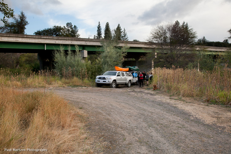
There is a convenient river access and parking on the downstream, east side of the Highway 299 bridge. The turn off is narrow and unmarked. It is about 100 yards past the end of the bridge on the left as you drive east, towards the put in. The gravel road leads away from the main road for 100 yards then turns back to a turn around next to the bridge. The take out ramp is mostly underneath the bridge. The water seems deepest on the downstream side of the bridge (at 800 cfs). Elevation above sea level is about 2764 feet.
Paddlers could also continue down a short ways further into Lake Britton, but there does not appear to be any easy take out access. There are gravel roads providing access to the lake but not anywhere near the river entrance.
Put in: Continue east on 299E to the turn off for the Pit #1 powerhouse. Drive 1.4 miles down to the Pit River Campground. There is a boat ramp in the day use area that is open from 7 AM to dusk. Elevation is about 2850 feet above sea level.
Camping:
Pit River Campground has 8 regular
...
There is a boat ramp in the day use area at the downstream end of the campground. The ramp accomodates trailers unloading rafts and drift boats for fishing float trips.
The ramp is in a small protected lagoon. From the lagoon, boaters float past a small fishing area and out into the lower half of campground rapid.
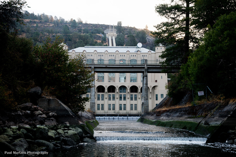
The powerhouse typically releases high flows during the day, year round. At night the powerhouse shuts off, leaving a base flow in the river of around 500 cfs.
The put in is below the steepest half of this rapid, but the lower half is still a nice drop with fun waves.
A Lions Club Picnic area is hidden in the trees on river right at the start of this rapid. A small spring also enters the river from the picnic area. The rapid is long and straight with the biggest drop at the very end. A distinct basalt cliff looms over the end where the river turns left.
Boaters could take out or put in at the picnic area, since there is road access close to the river.
Water from a spring enters the river on the right at the bottom of Lion's Club rapid, just before a basalt cliff. It is easy to miss the spring from the river, but you can hike down to it from the campground.
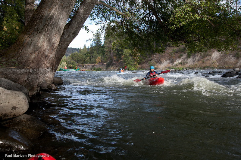
The river pushes up against the right bank and forms waves underneath these trees. We managed to get a bit of surfing on the waves.
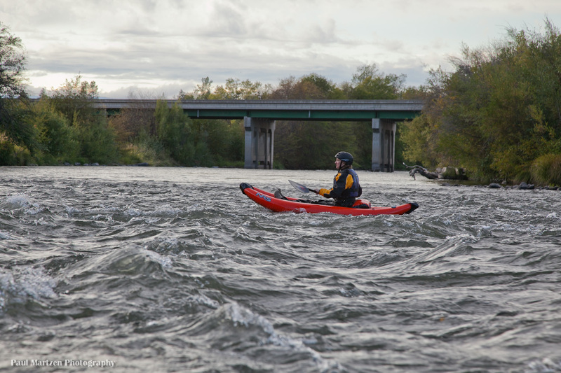
A wide left turn with multiple channels past islands, leads to a right turn and this view of the bridge.
Pull out under the river right side of the bridge. A bridge support with entertaining graffiti blocks the take out and I found the water deeper on the downstream side (at 800 cfs). A gravel road / boat ramp comes right to the water.
This take out is regularly used by fishermen using rafts and maybe dories. There is plenty of parking and a big turn around circle.
Oct 2, 2011
We did a late afternoon / evening float from the campground down to the highway 299 bridge and found this section very enjoyable. The rapids are mostly class 1, but they come in steady succession. Not sure if I would call any of the rapids class 2, though maybe at higher flows. We found many small waves and holes for surfing and playing. It is a very nice section of river and well worth paddling.
The powerhouse normally releases high flows during the day. During release weekends, flows are lower since they are spread out over 24 hours.