Peshekee
Peshekee Grade Road (various, up to 18 miles)
April 27, 2025
| Reporter | Doug Heym |
| Flow | High Runnable |
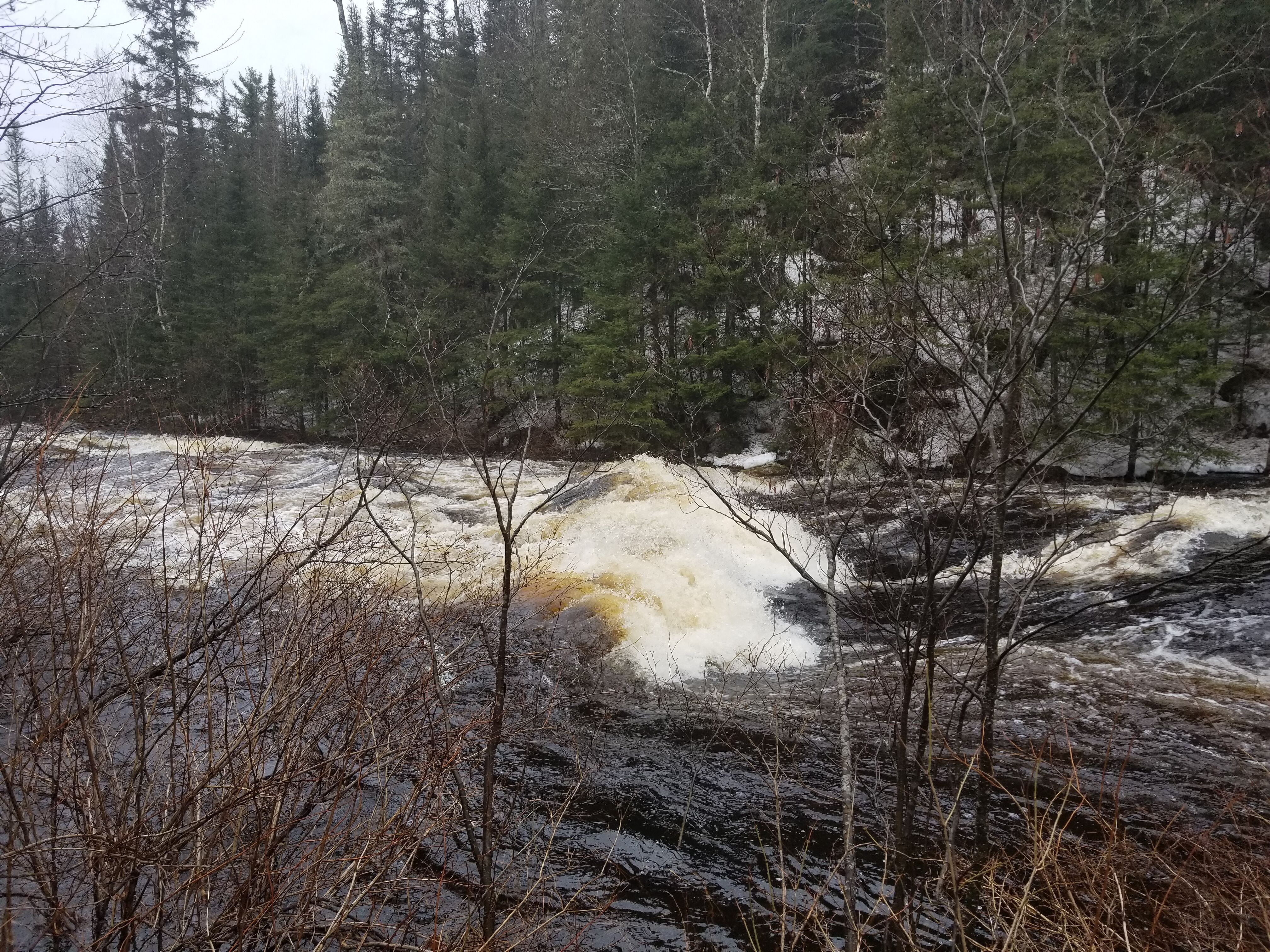
As far as I can tell, there is no longer a Moose Rapids gauge, which had been used as a proxy for the Peshekee. For what it is worth, it was 2100 cfs at Michigamme River Near Crystal Falls, MI - USGS-04062500
And, it was 368 cfs on the Middle Branch of the Escanaba.
I don't really know what level it was, but there was snow in the woods. The water was in the tag alders, but didn't seem to be flooded. See pictures of put-in at 5th bridge. All we saw were a few class I waves and maybe a class II near the end. Other than that, it was just a nice paddle, but really no white water to speak of. Maybe what features there might have been were flooded out?!? I guess you need to start further north.
Boris said: The run started with a long stretch of flatwater, followed by serval fun rapids. The river was in flood, so catching eddies or surfing waves was difficult. Next time, I would probably skip the first five miles of the run. It was good exercise though!