Peshekee
Peshekee Grade Road (various, up to 18 miles)
Apr 27, 2025
As far as I can tell, there is no longer a Moose Rapids gauge, which had been used as a proxy for the Peshekee. For what it is worth, it was 2100 cfs at Michigamme River Near Crystal Falls, MI - USGS-04062500
And, it was 368 cfs on the Middle Branch of the Escanaba.
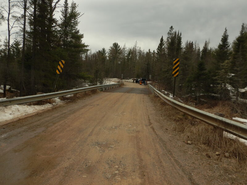
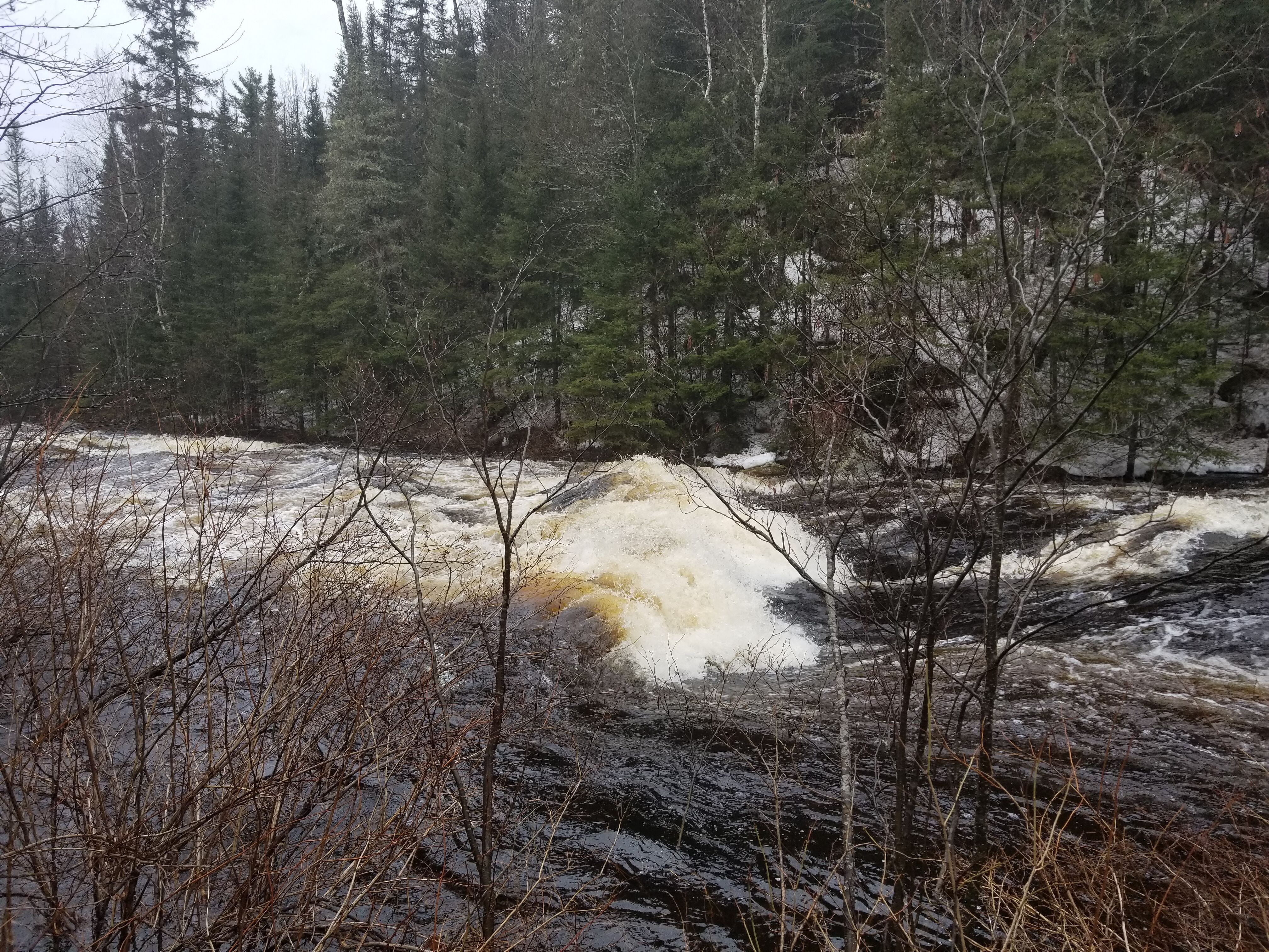
I don't really know what level it was, but there was snow in the woods. The water was in the tag alders, but didn't seem to be flooded. See pictures of put-in at 5th bridge. All we saw were a few class I waves and maybe a class II near the end. Other than that, it was just a nice paddle, but really no white water to speak of. Maybe what features there might have been were flooded out?!? I guess you need to start further north.
Boris said: The run started with a long stretch of flatwater, followed by serval fun rapids. The river was in flood, so catching eddies or surfing waves was difficult. Next time, I would probably skip the first five miles of the run. It was good exercise though!
Apr 20, 2019
Ran this today at about 1700 cfm on Moose Rapids gauge...river was highest I've seen it yet. Some smaller rapids were washed out almost entirely, while the bigger sequences made large standing waves and wave trains...the big drop towards the end of the run took down 2 of 3 canoes, I was the only kayak to try it and it was a blast but tricky...definitely class 3 Rapids at this level, mixed with class 2 swift water between Rapids. Ran between bridge 4 and bridge 1.