Pit
Pit 4: Pit 4 Dam to Pit 4 Powerhouse(Pit 4 Run)
| Difficulty | IV |
| Length | 7.4 mi |
| Avg Gradient | 46 fpm |
| Gauge | Ph-30 Pit River Blw Pit No 4 Dam |
| Flow Rate as of 31 days | 443 cfsstale data |
| Reach Info Last Updated | February 6, 2026 |
The Pit River is the largest river in northeastern California; its watershed is 4,324 square miles. The Pit flows in a southwesterly direction through valleys and basalt canyons before being inundated by Lake Shasta, where the confluence with its main tributary, the McCloud River and the Pit’s confluence with [...]Read More
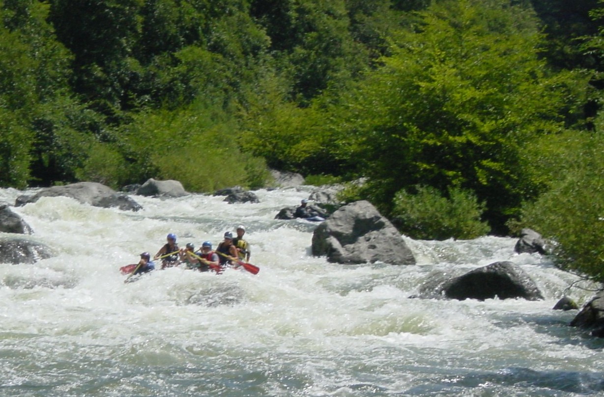
The Pit 4 reach is a nice Class IV reach with many long rapids. The character is similar to the lower part of the Pit 1 reach. The Pit Canyon is very pretty and Bald Eagle sightings are common. Spring releases will be occurring on the Pit 3, 4 and 5 reaches as part of the new license that American Whitewater helped to negotiate. Real time flow information is available on the American Whitewater Website since 2008. Also look to the release calendar on this page for scheduled flow releases.
Getting There: The Pit 4 reach is about 70 miles east of Redding. Take Hwy 299 East from Redding. 5 miles past the town of Burney is the Hwy 89 junction. Take Hwy 89 North towards Lake Britton.. After 4.2 miles on Hwy 89 take a left on Clark Creek Road to the Lake Britton Dam. Take a left on Forest Route 37N06 after crossing the Dam.
Put in: Drive past the Pit 3 reach to the pit 4 Dam. There is a small road that leads to a good put-in location just below the dam.
Take out: Continue down Baker Road to the Pit 4 powerhouse. The take out is just upstream of the powerhouse.
FERC Information: The Pit 3,4 & 5 projects are all licensed together as FERC P-233. A new license was issued in 2007 for 36 years to 2043. The relicensing process will tend to start 5 or more years before the license expires.
Other information sources:
SIERRA WHITEWATER, MARTIN, 1974
Other Points of Interest in the Area:
No trip reports yet.