Potato
A) Upson Falls to Foster Falls (Sullivan Rd) (2.5 or 7.2 miles)
Apr 7, 2020
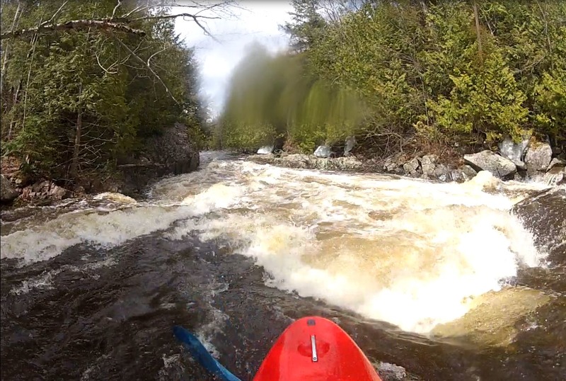
Paddled on 4/4/20 with a gauge reading of 900cfs. A fun creeky ricer without too much wood currently. Note that below the posted 'TREE COVERED LEDGE?' and after the cabin RL it is hard to find the main river channel. We got a bit lost NE of the main river after it swings West with the confluence of Alder Creek. Had to tromp around in alders and ended up attaining back up to the cabin to find the main flow.
May 23, 2014
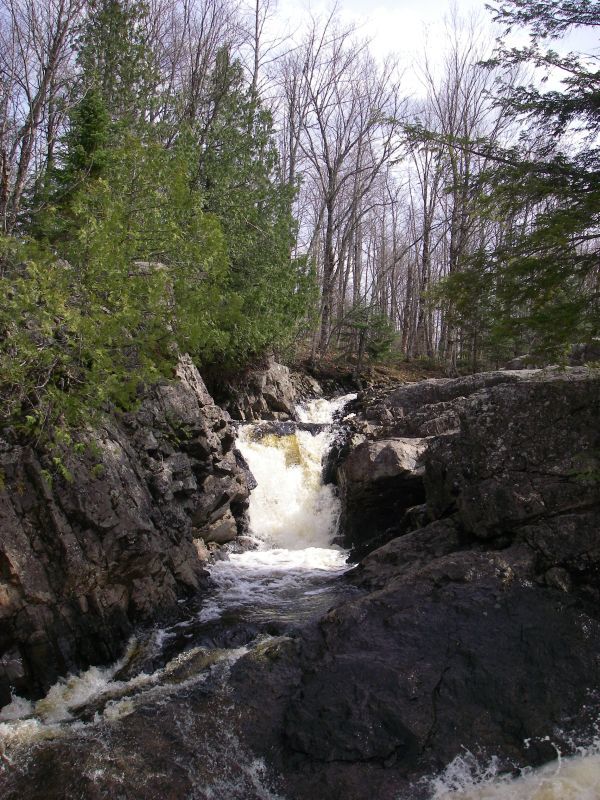
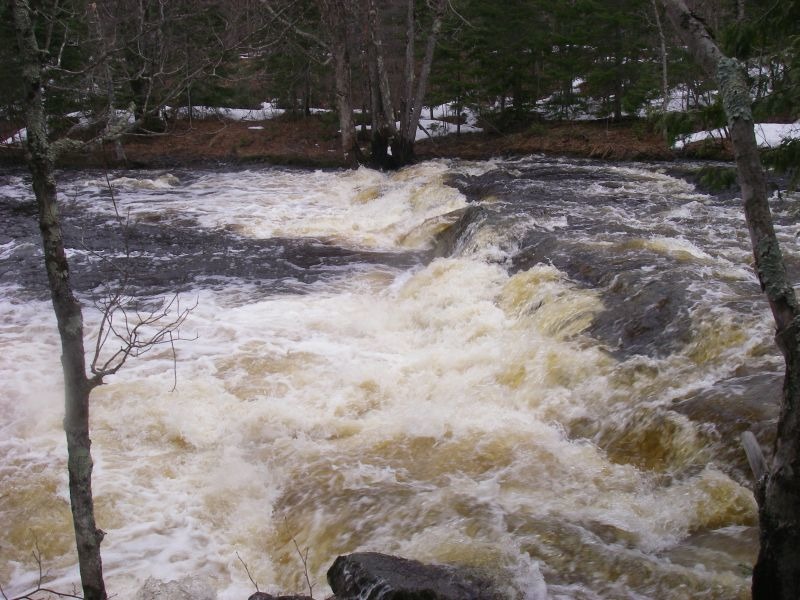
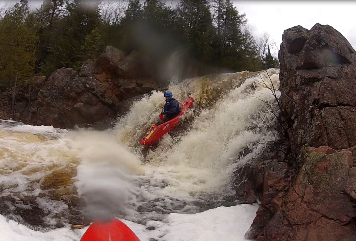
I ran Foster Falls at 246cfs on the virtual gauge. There were a few concerns for us. The right side of the main drop had a spine of rocks down the slide and an undercut at the bottom. Middle/left offered a bumpy ride into a flushy hole at the bottom. The main part starts with a spine wave on a rocky lip that drops about 5 ft onto a slide of about 20ft long into a final hole at the bottom.
The far right of foster falls was a double drop, did not inspect the landings.
May 17, 2014
Ran Foster falls when gauge was at 246cfs
May 3, 2014
74' down was the measured level at hwy 77.
Apr 27, 2014
Hwy 77 above Upson falls to Upson Lake road (visual level is 76.5' down)