Brunsweiler
B) Beaverdam Lake to Ensinger Road (9.5-10.9-11.8 miles)
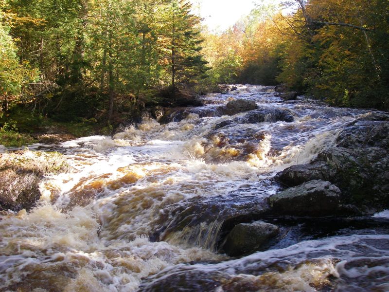
Ran the Brunsweiler for the first time (4/24), from Springbrook Rd. to Cty C at a low level(~11'8' down). The three major rapids were mostly clean of wood, but the Class II stuff in between contained some trees across the river. Between the 1st and 2nd major rapids there was a section where the beavers had it so dammed and braided that there was no navigable channel. There was also 5-6 beaver dams from 2-5 feet in height we were able to run. The section below Eades Rd. was full of wood and although only 1-2 had to be portaged at this low level, many more would become real problems at higher levels as we were able to just 'limbo' several larger trees. Be prepared to tangle with Alder brush. Also, the gauge was not correlating as the eastern tribs (Upper Bad, Tyler Forks, Potato) received lots of rain and were swollen while the Brunsweiler and Marengo were low.
No articles