Brunsweiler
B) Beaverdam Lake to Ensinger Road (9.5-10.9-11.8 miles)
Apr 12, 2020
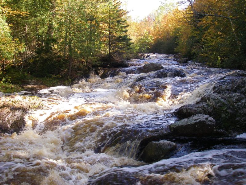
Ran Springbrooks down to HWY C @ 200cfs. The entire upstream section is a great creeky run that is mostly free of wood. As AW describes there are 3 main rapids. The sluice or dells rapid (wood RR), the double drop (most fun rapid on section ran both drops RL), and the slide before the eroded bank (ran the middle). Downstream of the slide and eroded bank the river gets wood choked and we made 10+ mandatory portages around dams and sketchy wood in sets. This runout was a bit tedious and consider using a 4WD vehicle to access the alternative TOs instead. Note that we ran shuttle via Springbrook and North York Rd's and both roads were in great condition this early in the season and 2WD was more then adequate.
Apr 20, 2014
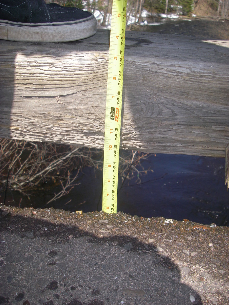
I usually measure from the top of the bottom wood beam down to the water. Here is a picture to help identify what is meant by '12' 3' down' The river temp was 35 and the air temp was 65 with 2-3 ft of snow in the woods, the river rose 3' in our 2hrs of time.
Sep 27, 2010
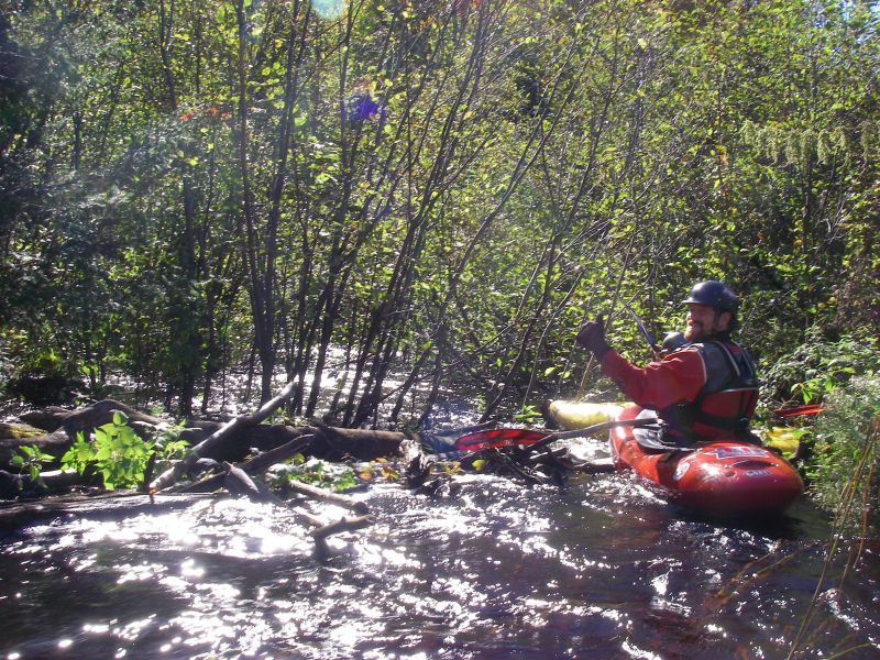
Ran with Brendan & Ed O at 11ft down. Did the springbrook to eades road. The owner at the end of eades road said it was ok to park at the bottom of the hill in the turn a round by their driveway so as not to have to carry up the hill.
All 3 rapids were great at this level. We had to pull and push through the alders, portage around 1 tree, limbo under another, dodge about 426 others, and run 8 beaver dams. A typical run. Well worth it if it is up. We did not get up to see the canyon.
Sep 26, 2010
Nice trip in late Sept. with plenty of rain to aid in flow. Gauge is based on distance from bridge to water surface.
Apr 9, 2006
Level was 9'9' measured from the top of the bottom 9x12 on the river left upstream side of the takeout bridge. Very good level which made entry drop into canyon extremely difficult - a solid V.