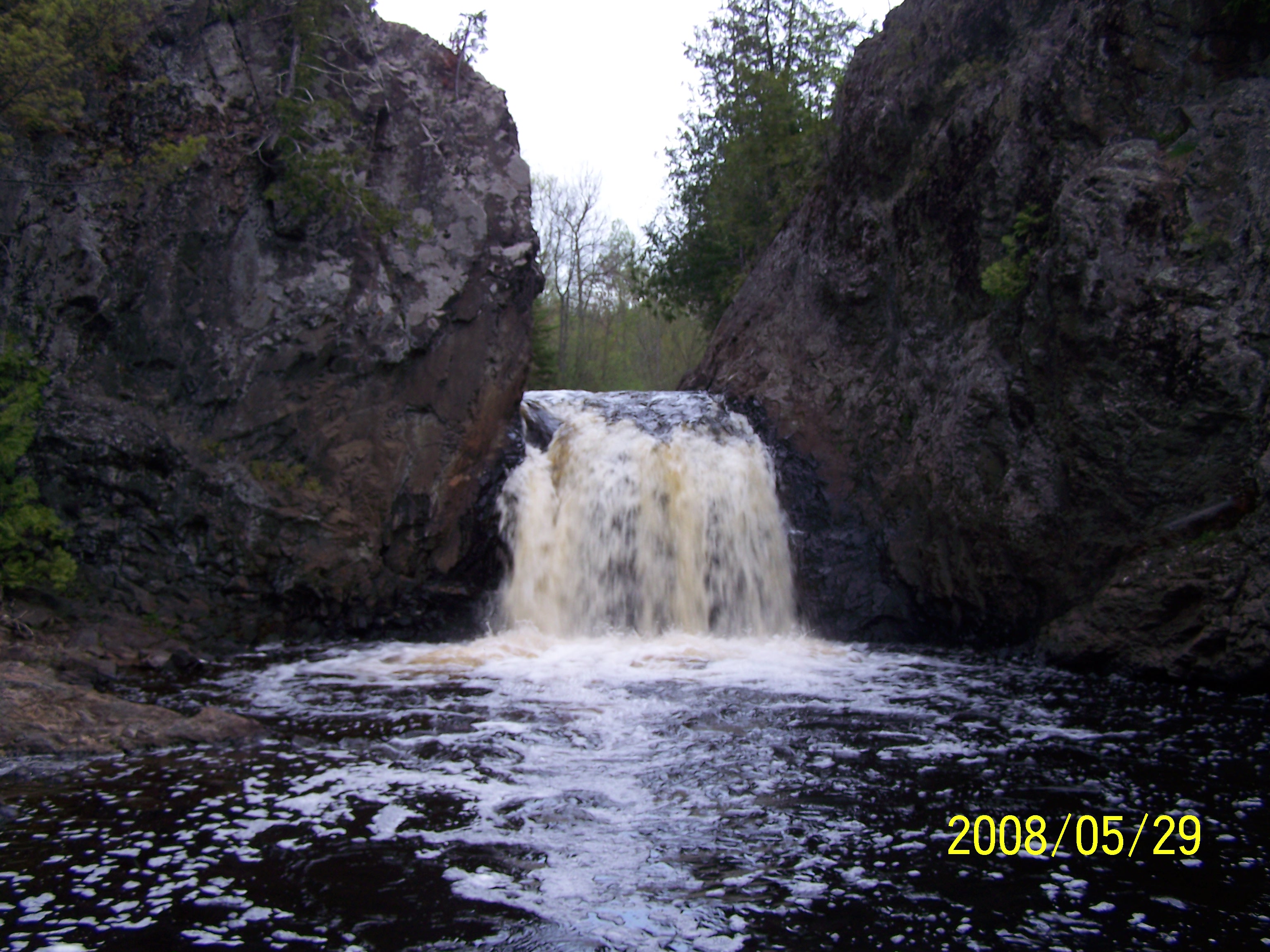
Tyler Forks
A) Moore Park to Vogues Rd (up to 8.5 miles)
June 19, 2011
| Reporter | Brendan Hammond |
There is now a gauge on the Tyler Forks! Not the preferred stream to have streamflow (Brunsweiler or Upper Bad would have been better) but we will now know when Wren Falls is running and it should be very useful for the Potato as well and may provide better info for the Upper Bad than the gauge way up near the Lake. The USGS station number is 04026561, located downstream of Hwy 169 with a drainage area of 70.5 sq mi.