Glade Creek (Manns Creek tributary)
Babcock State Park to the confluence with Manns Creek
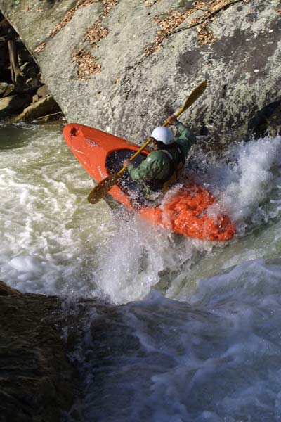
September 26, 2003
| Reporter | Brad Roberts |
From Nov. 2002
From Boatertalk:
For those who run Mann's Creek, the river left gauge has changed. They put a bunch of concrete in around the gauge rock, but the gauge still works. We ran it the other day at +8 inches, which seemed to us to be more like +3 inches on the 'old' gauge. Some other people ran it around 0 and said that seemed more like -4. I'd say the gauge actually has changed for the better, with 0 being more of an accurate 'low' level, and 8 inches (the top mark on the gauge) being more of a realistic top end. Most first timers run it around -3 or 4, so now I'd say -1 or 0 would be good low levels.
Jimmy Blakeney