Temperance
C) Six Hundred Road/166 to Temperance River State Park (8.5 miles)
| Difficulty | II-III(IV) |
| Length | 8.5 mi |
| Avg Gradient | 50 fpm |
| Reach Info Last Updated | May 29, 2025 |
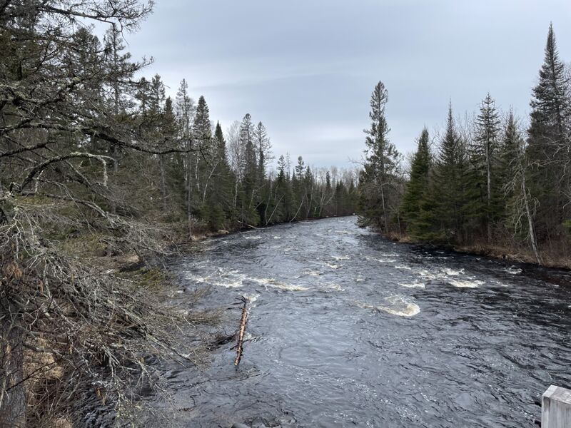
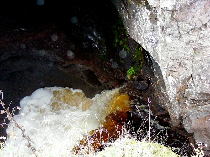
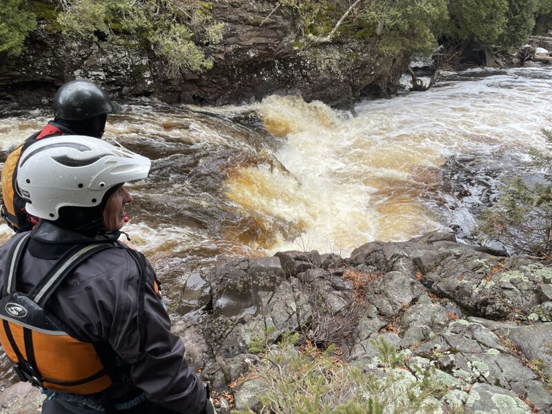
Fairly continuous class II (+/-) until a small island, a right hand bend, and a horizon line. A relatively short ledge (maybe 5'?) in a narrow 'canyon' creates a uniform backroller (not unlike a low-head dam). It may be runnable at some water levels, but you are advised to scout. If not runable, you will have to rope boats and carefully climb down the steep wall to put into the river below.
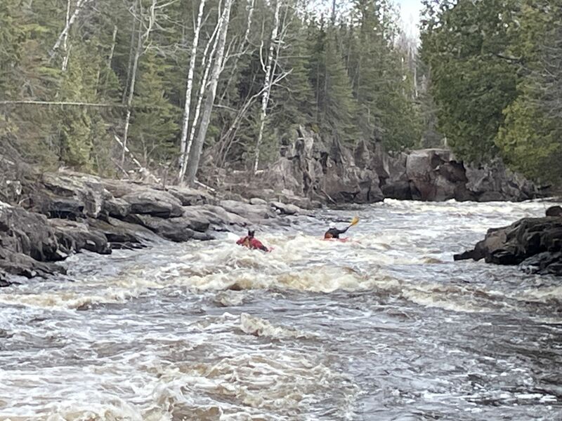
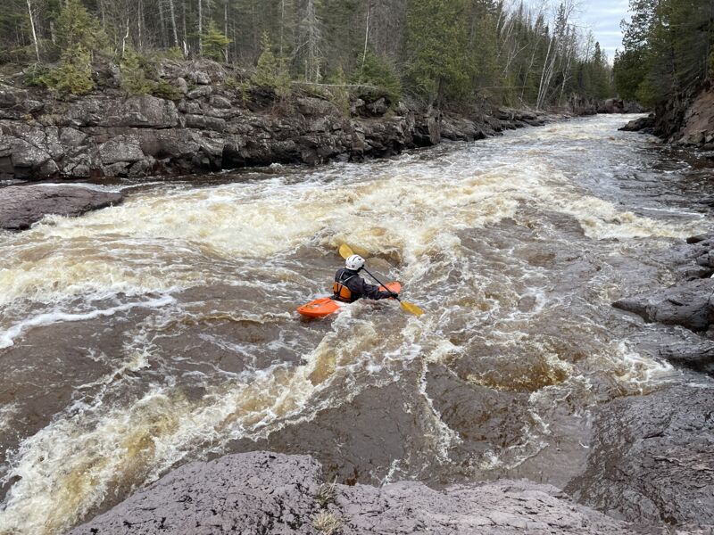
A couple hundred yards more class 2 (+/-) leads to the end of the short canyon and another atypical drop (class III-III+ at good flows). A narrow tongue skirts a couple wave/holes just left of center and curves to the right through a sweet wave/hole for the finish.
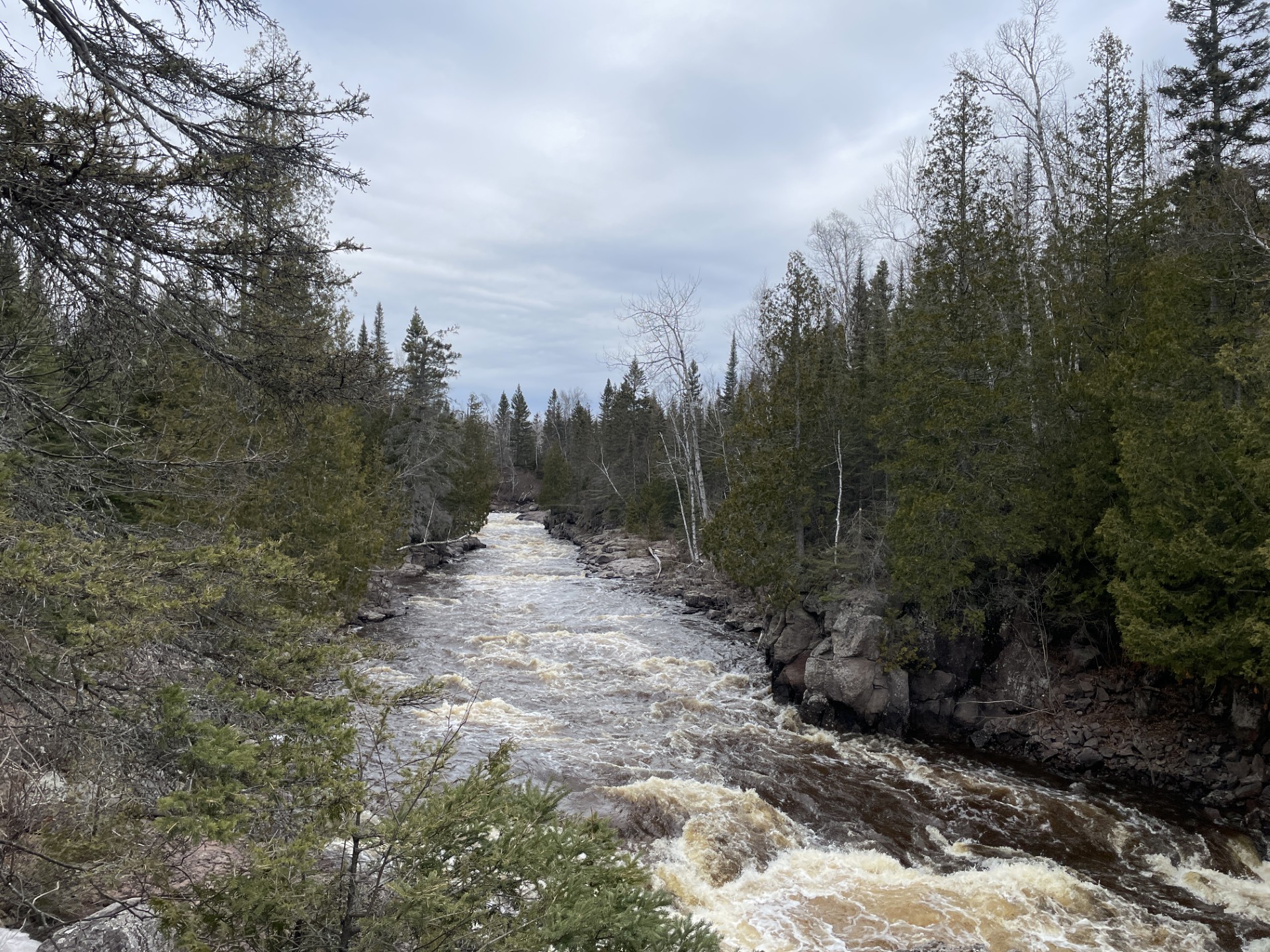
The remainder of the run is continuous class 2, but with a couple bigger waves thrown in, and a spot or two pushing into almost class III, and allowing sweet surfs in a few places.
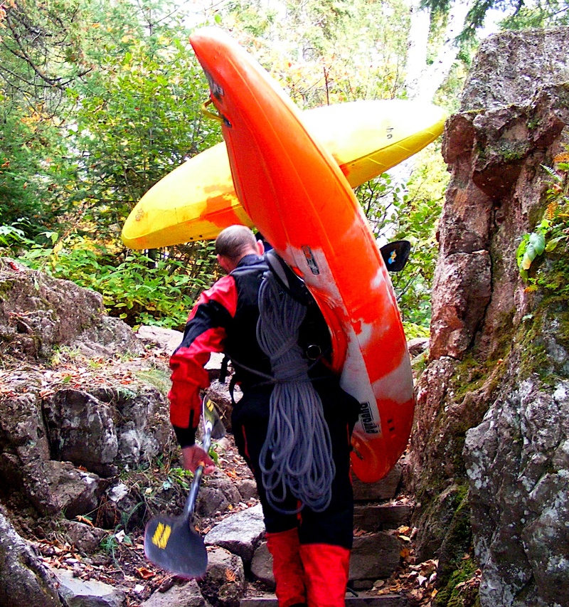
Most boaters will take-out at trailhead parking about 1 mile up from the mouth to avoid the 'out-of-character' (much tougher) drops and strenuous carry-out in the park. The rating in parenthesis refers to this additional section including Fred's Falls (class V) and 1/4 mile of class III-IV beyond. This will necessitate a carry out to Hwy.61 in the state park.
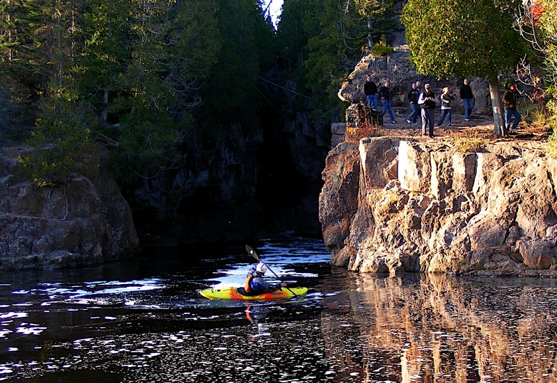
The gorge in the park is extraordinarily scenic (from shore). The river is twisted, squeezed, and tormented as it churns through a contorted, polished volcanic rock gorge. This makes a great, though mildly strenuous (I.E., not 'handicapped accessible') hike for boaters and non-boaters alike to enjoy. At flows which make the rest of the river runnable, this gorge looks deadly. We do have information which suggests that (at low summer flows) a team of expert boaters have roped into the gorge and have run most of it's drops.
Check out footage which (I believe) includes that and other N.Shore runs (Click link >>>): https://youtu.be/SWod1BgN_7U?t=87
Distance from the start is approximate. The canyon begins to form up shortly before Beerstein Falls. Portage is on river right.

A USGS sampling site (for rather random occasional 'Field Measurements') lists drainage area at this location of 185 square miles (which makes it the second largest of the drainages for which USGS has a listed site).
Apr 27, 2025
As of April 2025, a tree has fallen down across the river 100 yards upstream of Beerstein Falls. For the time being, it is possible to get under the tree with the main flow on the river left side of the channel before crossing to river right for the portage eddy upstream of Beerstein.
Dec 9, 2020
Sep 1, 2014
Necessary tools to run the Gorge.