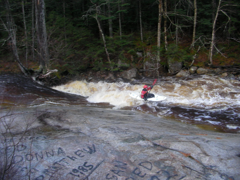
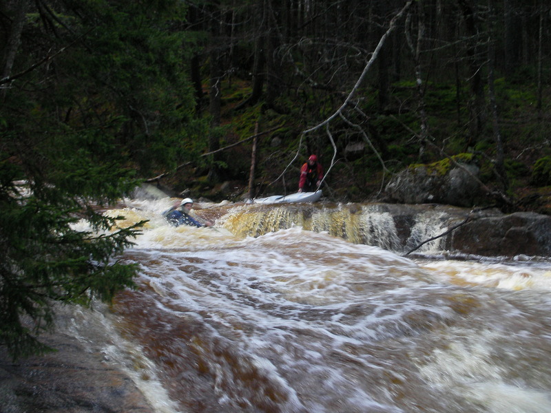
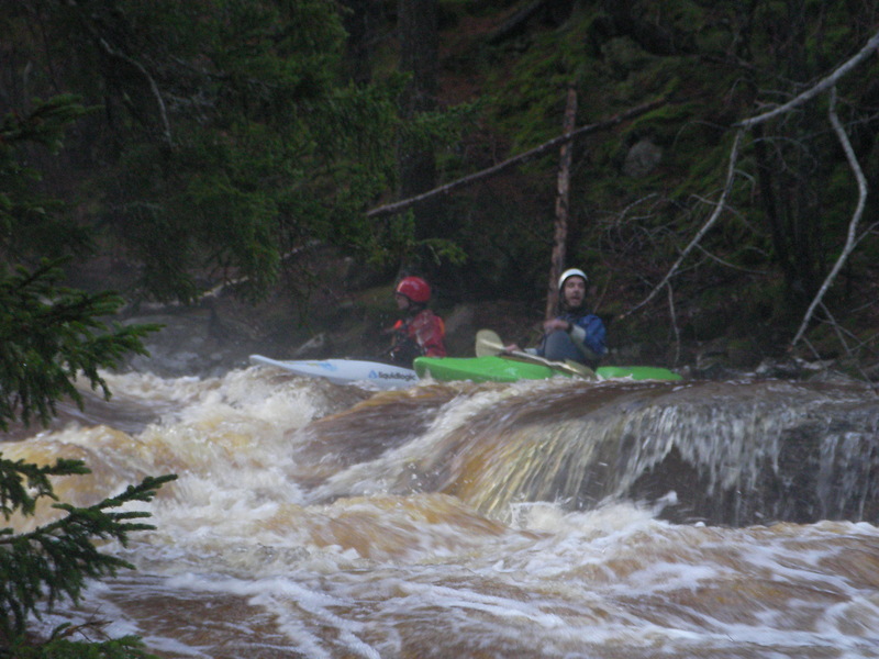
| Difficulty | V |
| Length | 4 mi |
| Avg Gradient | 171 fpm |
| Gauge | East Branch Pemigewasset River at Lincoln, Nh |
| Flow Rate as of 21 minutes | 3.70 ftbelow recommended |
| Reach Info Last Updated | May 2, 2018 |
River Description
Source: Greg and Sue Hanlon's Steep Creeks of New England, which has more info on this run. Text used with permission.
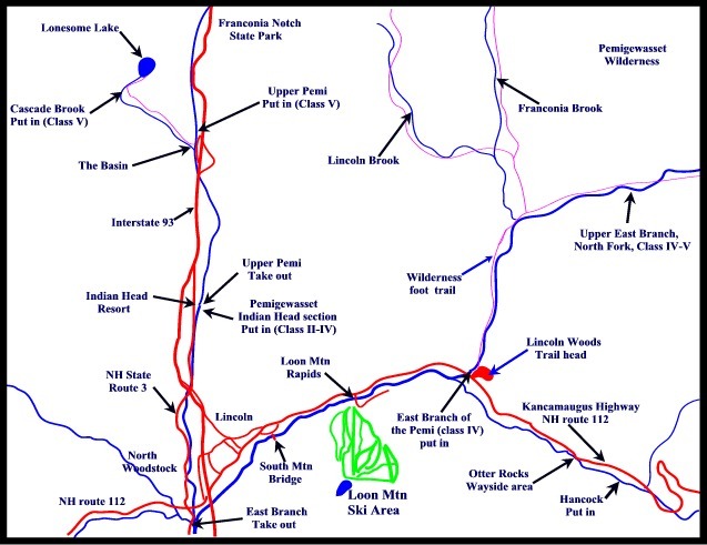
Directions: from Lincoln, drive 2.5 miles East on Rte. 112 (Kancamagus Hwy). Park in the dirt parking lot, river right, just downstream of the Loon Mtn. Bridge.
Putin: continue East on 112 ~ 6.2 miles, crossing the East Branch to the first bridge across the Hancock Branch. Park in the Cheney Brook / East Pond Trail lot on the right.
This run includes 2 miles on East Br., Pemigewasset; these two miles aren't figured in the gradient listed above.
Flow Info:
Judge the water level from the road. The gage referenced above is approximate, based on a correlation.
A better guide is the E. Br. Pemi. 12.0 ft (9000 cfs) usually means a high level on the Hancock Branch.
River Features
Put In
Access PointDistance: 0 mi
Take Out
Access PointDistance: 4.3 mi
Trip Reports
Log in to add a report?
Untitled
Aug 28, 2011
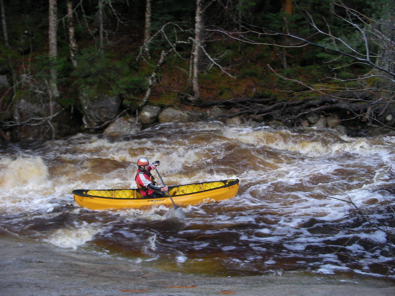
boated this river today and I found the section between the put in and otter rocks to definitely passable for a 12ft Esquif Nitro the east branch was pumping at 6000 when I made the ferry to the Hancock campground. A really fun run that kept me on my toes the whole way.
BT
Ben Thibault
Dec 3, 2009
roadside ledge
BT
Ben Thibault
Dec 3, 2009
roadside ledge