Trip Reports
Log in to add a report?
Untitled
Aug 28, 2011
boated this river today and I found the section between the put in and otter rocks to definitely passable for a 12ft Esquif Nitro the east branch was pumping at 6000 when I made the ferry to the Hancock campground. A really fun run that kept me on my toes the whole way.
BT
Ben Thibault
Dec 3, 2009
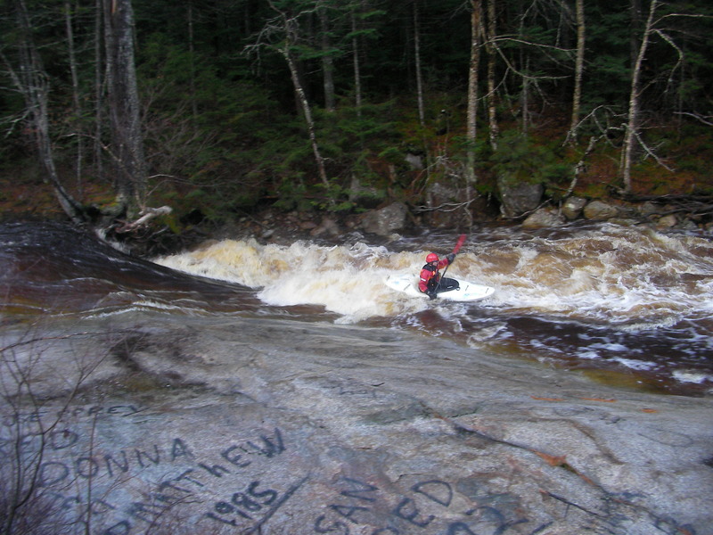
roadside ledge
BT
Ben Thibault
Dec 3, 2009
roadside ledge
BT
Ben Thibault
Dec 3, 2009
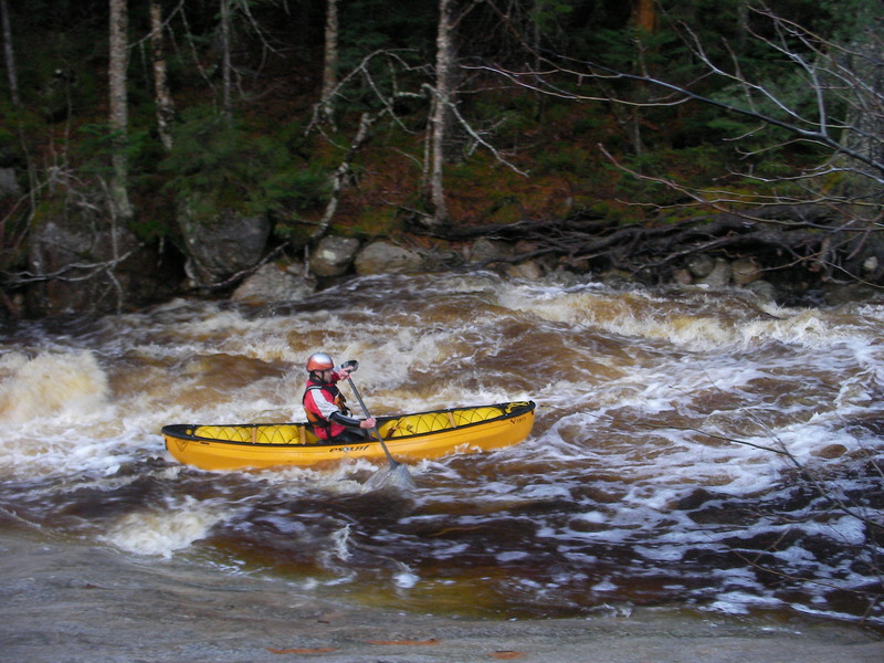
Otter Rocks
BT
Ben Thibault
Dec 3, 2009
Otter Rocks
DH
Daniel Holzman
Dec 27, 2002
Five of us ran this river when the East Branch of the Pemi was at about 8000 cfs (very high). Four were in kayaks, I was in an open boat. The steepest part of the run is the put in down to Otter Rocks, which is too tight for an open boat.
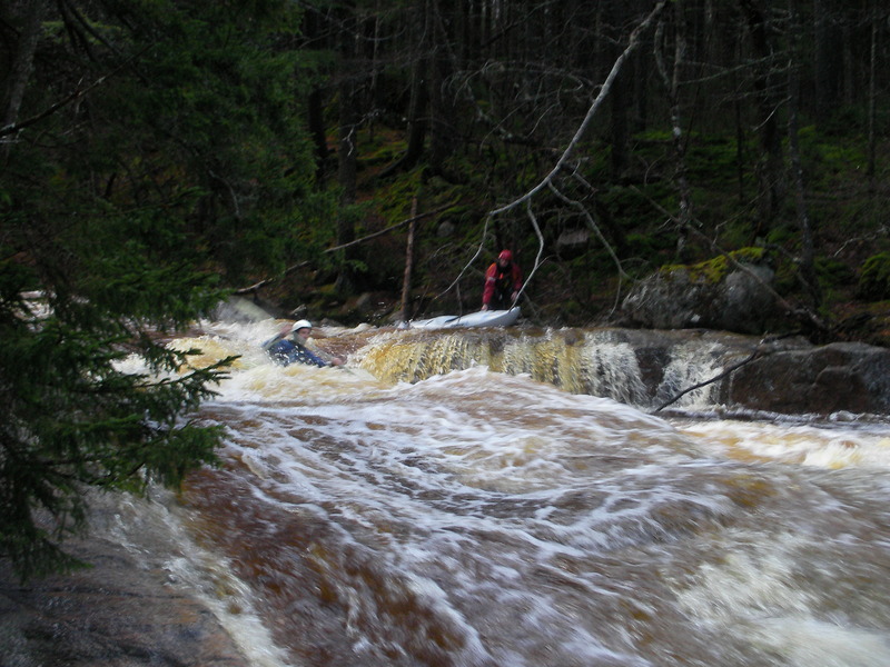
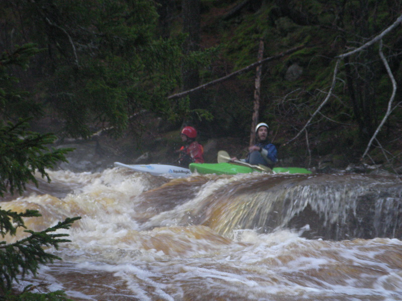
The river opens up considerably below Otter Rocks because of a sizable tributary at the Rocks. Most of the run is boulder gardens with small to medium sized rocks, easy Class 5. There are two steep ledgey type drops, one about 1/3 of the way down, the other about 2/3 of the way down. We portaged the second drop because there is a very sticky looking hole at the bottom, which would be difficult to avoid. Others have run this drop successfully, scout it first.
There was a river wide tree just below water level in May 2001 about half way down the run, plus a fair amount of smaller trees in other locations. Be careful.
Open boaters: if you are running at very high water as we were, you should make the ferry across the East Branch of the Pemi to the takeout at the campground starting at river right on the Hancock immediately where the Hancock Branch meets the Pemi. I started about 100 yards downstream of the confluence, and got swamped before I could finish the crossing. Alternatively, you could carry up to the Kancamaugus Highway about 1/4 mile along the East Branch on river left.