Des Plaines
b) Lockport, Fishnet Rapids: Romeo Rd. to Division St. (0.75 mile or 4.25 mile)
Mar 13, 2021
Bridge Street Not Briggs Street. I believe the description intended to describe the Joliet access as 'Bridge Street', which crosses the Des Plaines River, and NOT 'Briggs Street', which does not. I repeated the error in my previous note. My apologies.
Mar 13, 2021
ACCESS ISSUE: Today, March 1, 2021, a police officer was waiting for me at the Division Street (abandoned bridge) take-out, which is located on Will County (IL) Forest Preserve District property, and is categorized as a Nature Preserve. The officer informed me, as a Nature Preserve, general access is not allowed; one must stay on the designated trail. Thus, this is NOT an access point for the Des Plaines. She did not ticket me, but informed me that 'they' (by whom I assume she meant the IDNR Conservation Police) were cracking down. I interpreted this to mean tickets will start being issued at some point.
There is signage that designates the area a Nature Preserve, but nothing that says 'stay on designated trail' or the like. The closest are a couple of small (9' x 14') yellowed, rusty signs that say the land is owned and managed by Will County Forest preserve District and governed by Forest Preserve Ordinance #124.
I reviewed Ordinance #124. Chapter IV, SECTION 2 states, 'WATERCRAFT. No PERSON shall bring into, attempt to launch or use, or navigate any WATERCRAFT upon the WATERS, except at designated areas' or by obtaining permission. Since the area is NOT designated as a boat launch, it is NOT an authorized access point. The Ordinance also discusses not disturbing the land, plant life and animals, which is what the officer told me: Tromping through the Preserve causes erosion and disturbs the plants and animals there.
I assume this means one will need to paddle the the Joliet Briggs Street access discussed in the description for this river, and should plan accordingly. If I find better/alternate access point I will update this post. Dan
Jun 25, 2010
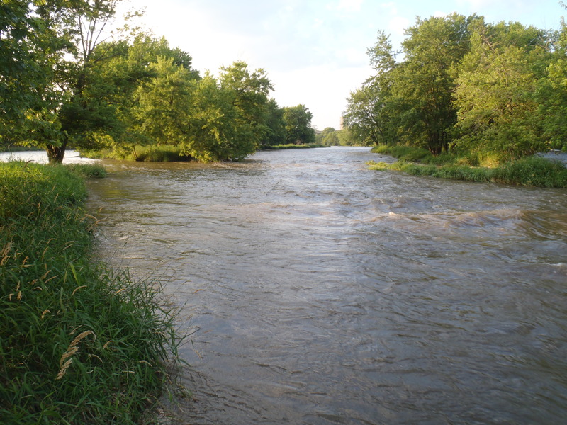
this shot shows the path coming around the first bend into the main channel. the current picks up right around that bend and you get some rolling waves before the bigger drop
Jun 25, 2010
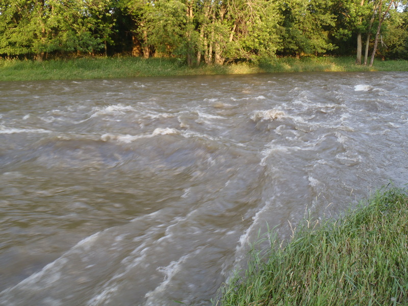
closeup of the main drop section. nice waves and a mouthful of reclaimated water. at lower levels there is a decent eddy on river right just past this drop (tough to get into the main wave though). at higher flows 1600+ a side channel through the island opens up and washes this eddy out a bit
Jun 25, 2010
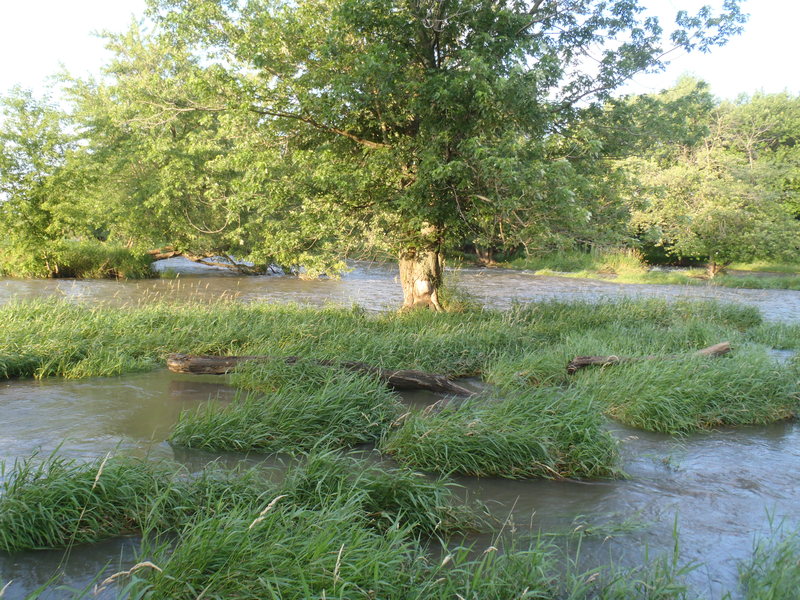
at higher flows (1600+) you get some decent looking standing waves in the upstream river-right most channel in the background of this picture. This channel dumps into the main channel with the main drop, but you will miss the main drop by taking the river right upstream channel
Jun 25, 2010
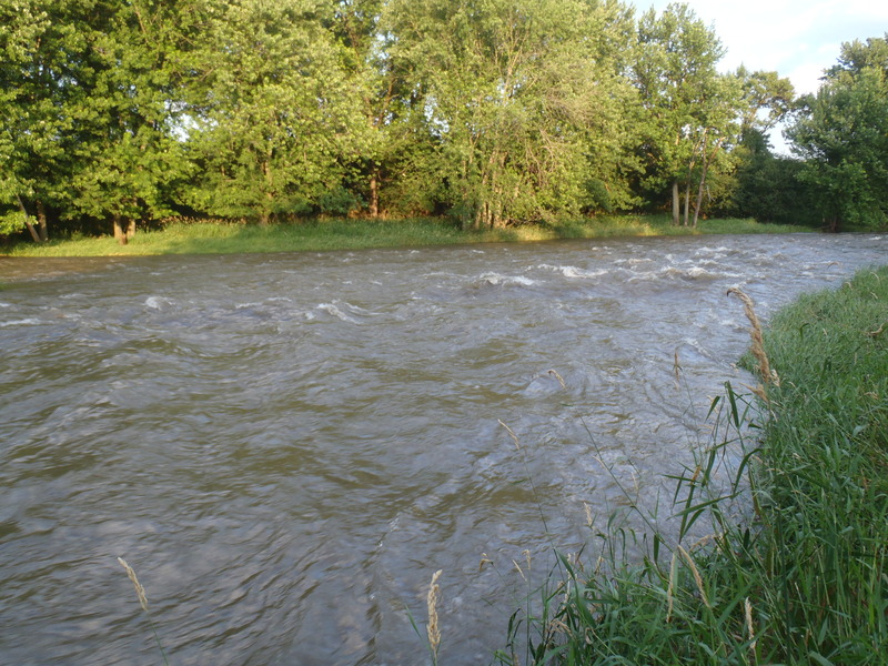
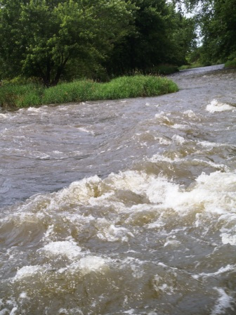
main channel gets fairly washed out around 1600cfs and looses the dynamic of being a chute-like drop. although it does provide some great quick current and some solid 3' standing waves to plow through and over
Jun 21, 2010
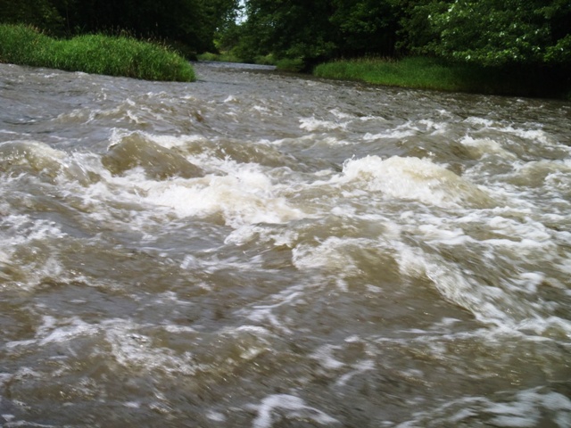
4+ feet, plus wave train with 2-3 foot waves going on for about 500 feet. This level has bigger rapids than at 1300 cfs.
Jun 13, 2010
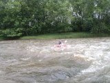
This is a side view of the same rapids. If you start at this rapid (channel 2 from river left), you can ride a wave train down to next set of rapids, and then shortly some smaller ones south of the old bridge at the Lockport Prairie Preserve.
Jun 13, 2010
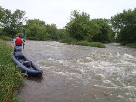
Access is at Lockport Prairie Nature Reserve, at the Intersection of Route 53 and Division St (Stateville Prison at SW cornernof this intersection). Drive into park to end of road, and walk up river bed (rocks, not mud) about 1/4 mile to these and other rapids. Have been told rapids can get twice as big under higher water conditions.