Klamath
03. Spring Island to Access 6(Hells Corner Run)
| Difficulty | III-IV+ |
| Length | 12 mi |
| Avg Gradient | 46 fpm |
| Gauge | Klamath River Blw John C.boyle Pwrplnt, Nr Keno,or |
| Reach Info Last Updated | July 14, 2026 |
Restoring the Klamath River: A Historic River Reborn The Klamath River now flows freely for the first time in more than a century. The removal of the four lower Klamath dams—J.C. Boyle, Copco 1, Copco 2, and Iron Gate—marks the most ambitious river restoration effort in U.S. history. For [...]Read More
The National Conservation Lands—a 26-million-acre collection of national monuments, wilderness areas, wild and scenic rivers, trails, and historic sites—are managed by the Bureau of Land Management (BLM) to conserve some of the most treasured landscapes in the American West. Established administratively by the BLM in 2000 and made permanent [...]Read More
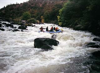
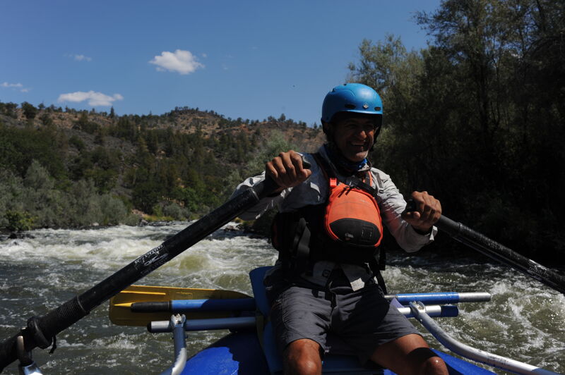
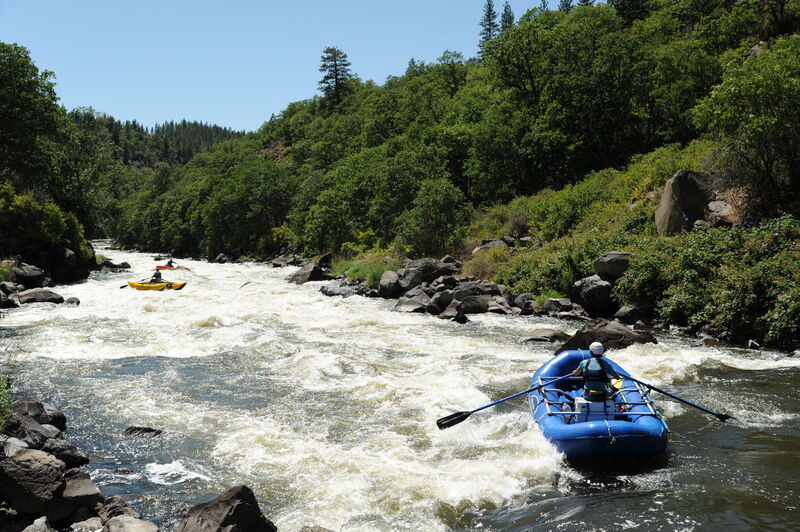
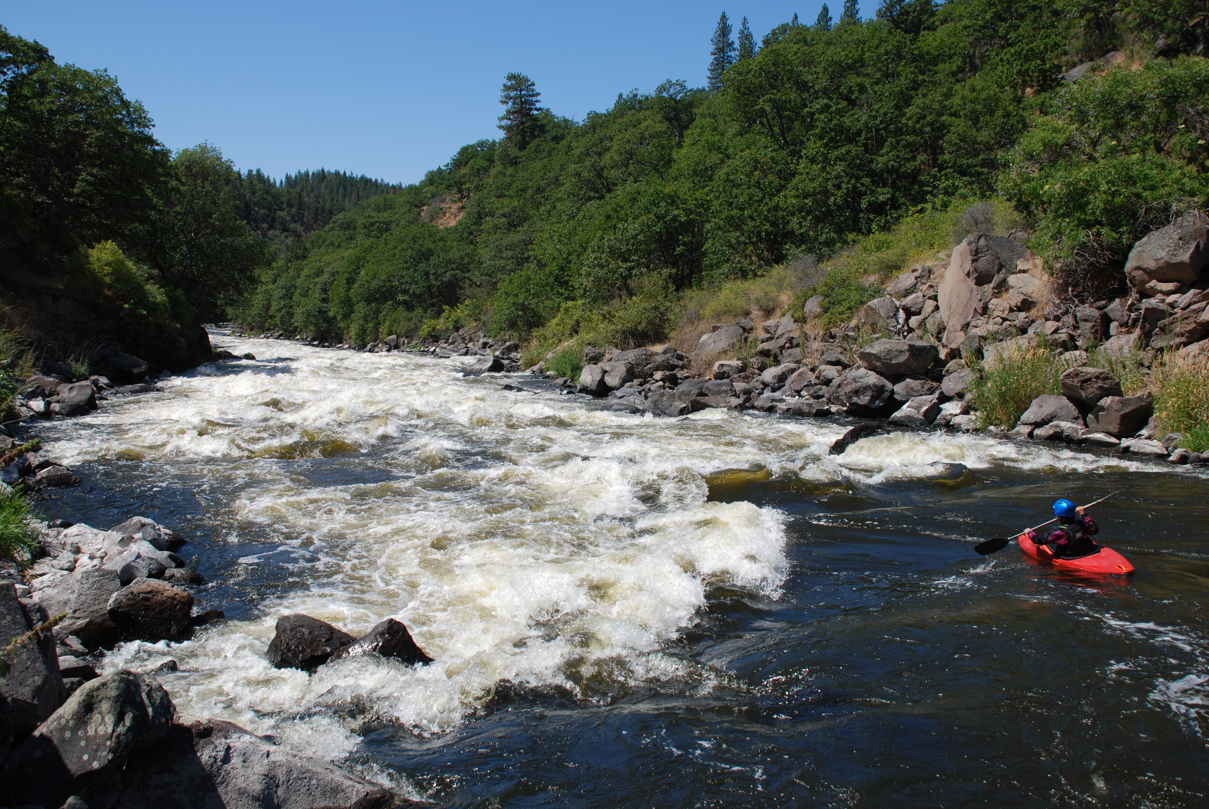
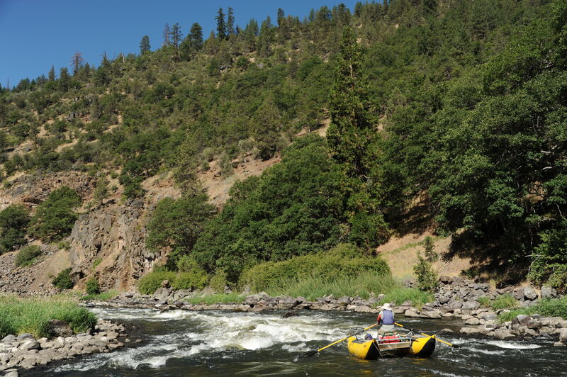
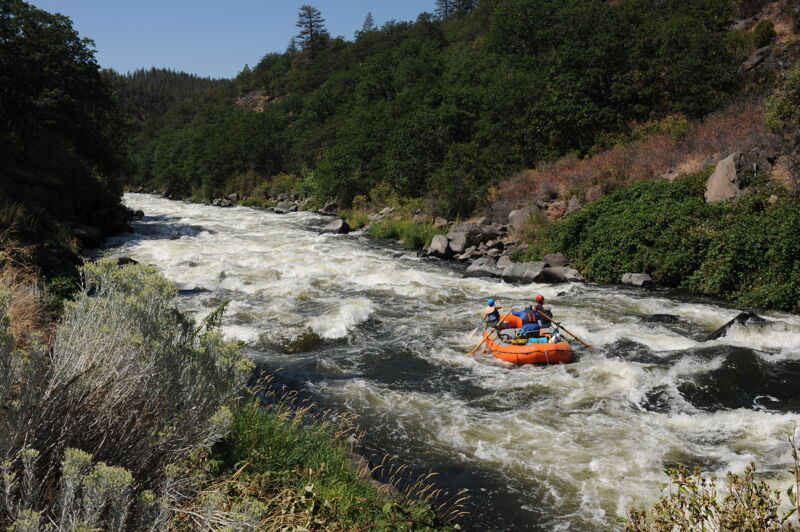
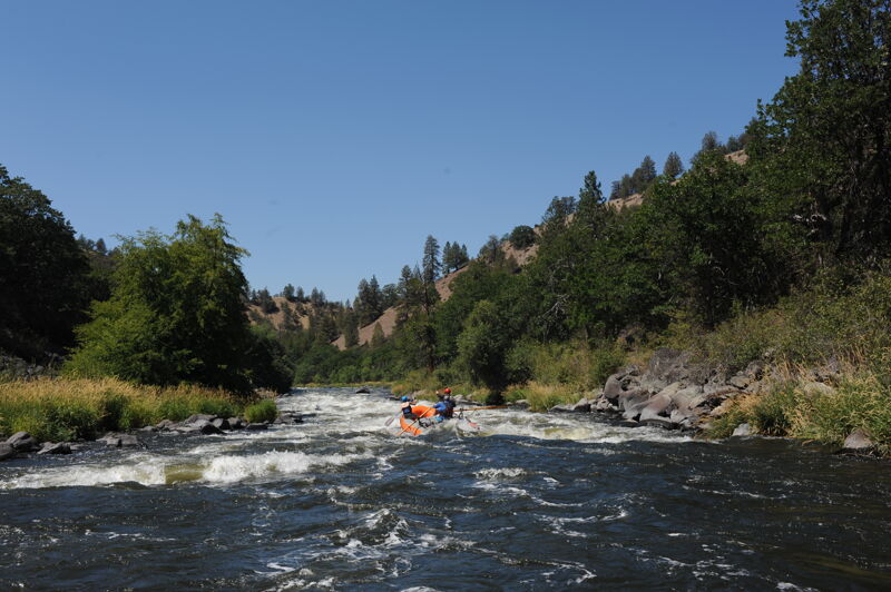
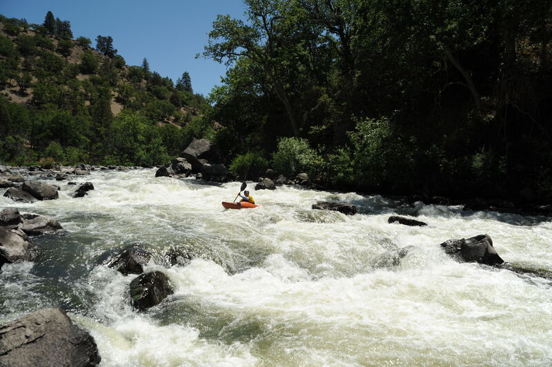
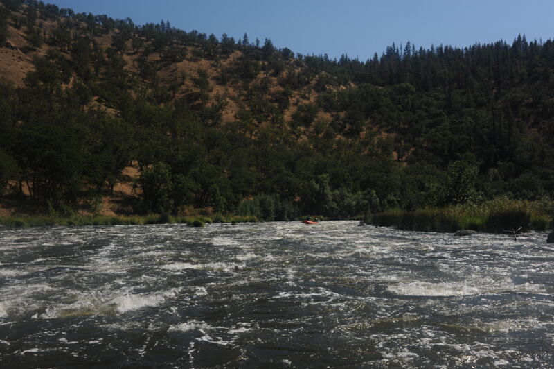
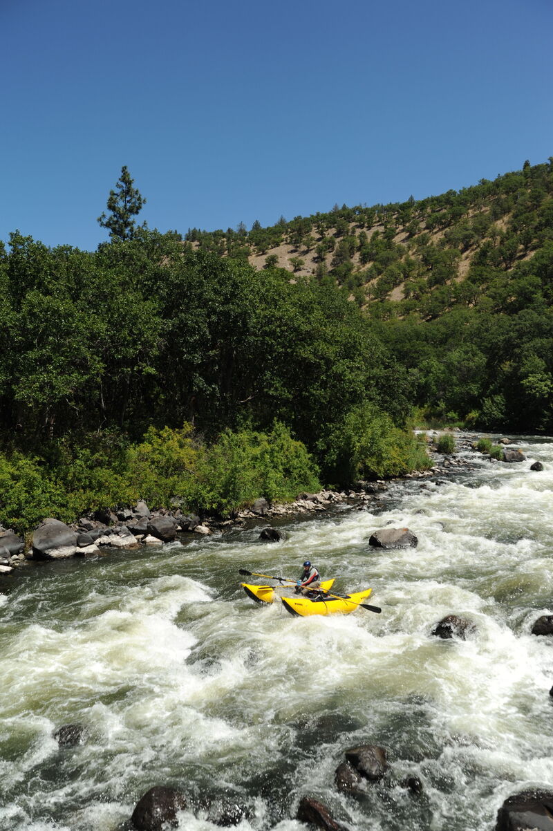
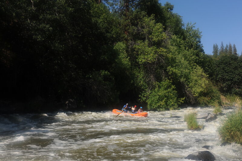
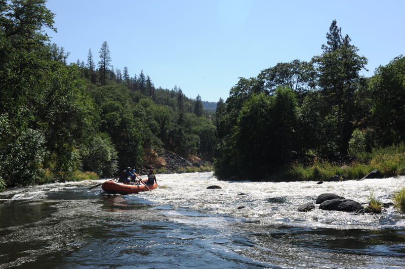
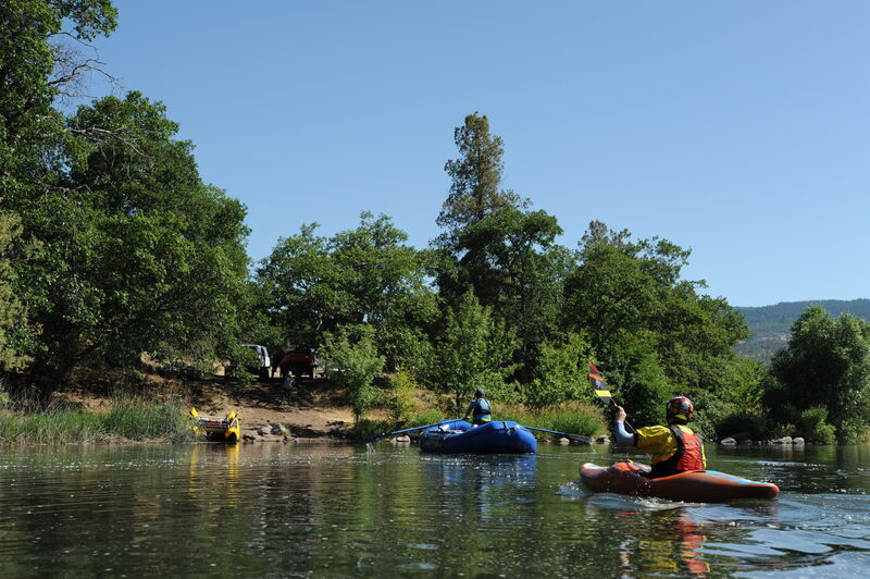
When boaters talk about the Upper Klamath, often called 'the UK', they are often referencing the run known as Hells Corner that takes river runners through a secluded canyon with gorgeous scenery, abundant wildlife, and a lot of whitewater. The run starts at Spring Island, a Bureau of Land Management recreation site just downstream of the site of the former J.C. Boyle Powerplant. Absent agricultural diversions, the river would flow at a great level through the summer, but currently it is heavily regulated with a significant portion of the flow extracted for agriculture in the upper basin. Allocation of water in the basin is a source of tension between those seeking to divert it out of the river for agriculture and those who recognize the needs of fish and the Indigenous cultures that depend upon them. Agricultural activity also results in increased nutrient loading that affects water quality. As is the case with fish, whitewater boaters would similarly benefit from having improved water quality and enhanced water quantity below the Bureau of Reclamation's Klamath Project.
The Klamath River has long been home to Indigenous peoples whose cultures and livelihoods are closely tied to the basin’s fisheries. European-American settlement, beginning in the 1850s, brought logging, mining, and agriculture, while also displacing many Indigenous communities through violence and other means.The main stage coach route from Yreka to Klamath Falls traveled up the south side of the canyon which is now the Topsy Grade. Along the road are small history markers that tell the tales of ranchers and stage coach robberies. The primary industry along the river was logging the large ponderosa pines. After cutting the trees loggers would slide them down a chute to the river where they could be floated downstream to the mill. The remains of the Pokegama log chute located near the take-out can still be seen by those with a keen eye. Frain Ranch, marking the dividing point between the e
...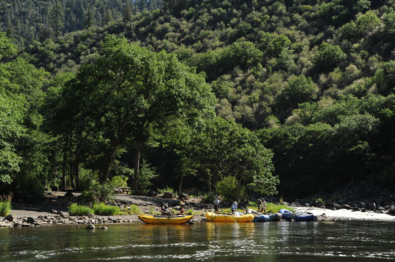
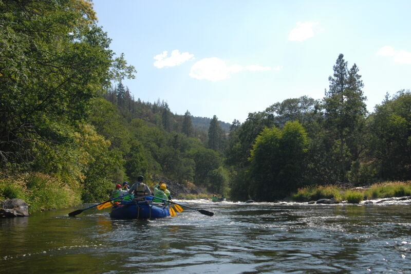
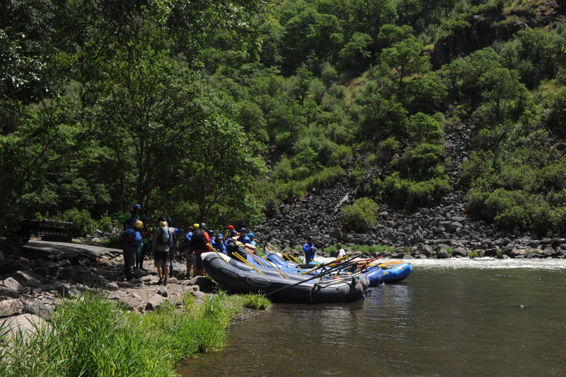
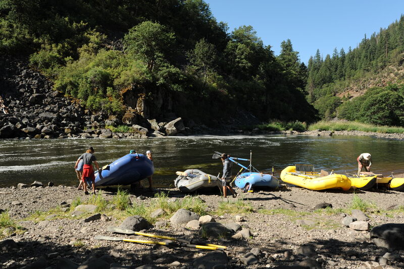
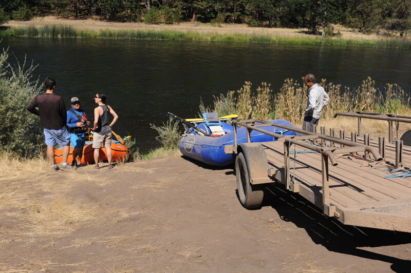
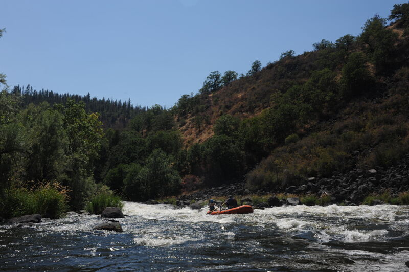
River trips begin at Spring Island, a Bureau of Land Management Recreation site on river right located immediately downstream of the site of the former J.C. Boyle Powerplant. This access site is utilized by boaters and outfitters so be considerate of others. This is a day-use site and those who wish to camp overnight should use one of the campgrounds located a short distance downstream along river right.
The Upper Klamath (UK) starts off with a small taste of what is to come. Fifty yards out of the practice eddy, boaters float into Saddle Horn. The typical line is left of center. The brown water hides the rocks and the current sweeps boaters into the second rapid (Saddlehorn) as if they were one long rapid. Welcome to the UK!
An island splits the river and the obvious channel is to the left. A large rock sits at the upper right of of the rapid and the current pushes left into another large rock just befor the river turns right. The rapid continues for about 75 yards.
After a long pool is a horizon line. The V slick terminates into a shallow rock. Run just left.
An access point at the upstream end of Frain Ranch on river left provides good access about a half mile upstream of Caldera (and is better than the access point closer to Caldera). This access is sometimes used by those just doing the section from Frain Ranch to Stateline or Access 6 where the majority of the challenging whitewater is found. A high-clearance vehicle and some grit are necessary for the shuttle along river right. but it is possible to get a raft trailer down to the water's edge.
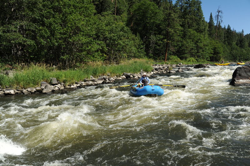
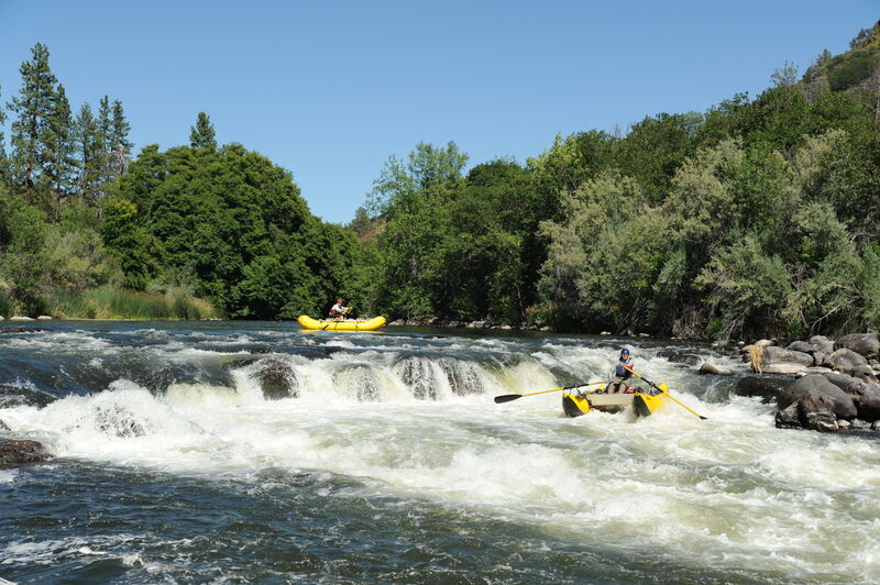
Caldera is Spanish for the boiling cauldron. Boaters know it as The Gateway to Hell (Hells Corner Gorge that is). From here to Stateline Falls the whitewater action is nearly constant. Caldera changes quite a bit between low-med and high-med flows. To see where the current is going and which rocks need to be avoided a scout from river left is recommended. The large hole 20 yards into this rapid gets very large at high-medium flows. The rock just below this hole is known as the 'Mushroom Rock' running to the left or right of Mushroom are both standard routes. Caldera is a long class IV rapid and scouting its entire length is difficult and not very practical. Scout just the upper portion since the difficult moves are all before 'Mushroom Rock.'
After a short recovery pool and a good eddy on river right below Caldera, the river drops over the next horizon line an Bermuda Triangle. You can read-and-run this rapid staying generally center but stay alert for the big hole that forms on the left at higher flows around 3500 cfs.
Stay left of center at Gunsmoke and be aware of the two rocks right of center that form a big hydraulic that is best avoided.

The last wave in the wave train is really a sharp submerged rock.
A breaking wave at the bottom makes for a good hit and as flows increase it just gets bigger. At flows above 3000 cfs it becomes huge and transition to a very large flushing hole capable of flipping large rafts.
One of the classic rapids on the Upper Klamath.
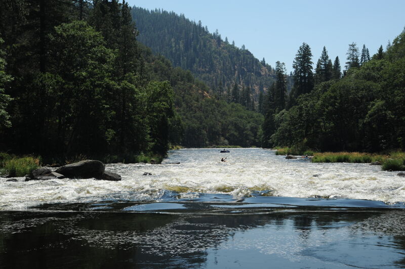
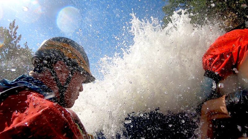
A 150-yard-long 90-degree right-hand turn with large holes, large waves, and large rocks river left. The preferred line is to start left and cut to the right squaring up to the diagonals. Satans Gate starts the three rapids that make up Hells Corner. The current sweeps pretty immediately into Hells Corner Rapid, so swims should be avoided if at all possible!
Hells Corner is a 300-yard-long Class IV rapid. You can break this rapid into two sections--an upper and lower--even though it is one long continuous raipd. Scouting Hells Corner is possible from river left but is difficult and takes alot of time. The rapid starts on a blind left hand corner. Enter near the left at the top close to the big boulder and then cross towards the right. Once the holes and waves subside, work through the sleepers back to river center and prepare for two large waves.
After you have worked back to river center you will find two 6' haystack waves that are a lot of fun. Once past these, you want to get hard right (at ~1700 cfs) or left (at ~3000 cfs) in order to prepare for the final 90-degree right-hand corner. This last part contains (among many others) the wrap rock known as the Ego Bruiser. At ~1700 cfs, you can catch the safety eddy on the right below Hells Corner and prepare for the Dragon. At ~3000 cfs these two Class IV rapids run in succession.
A large fun hole lurks at the top. The current will push you into the Dragons Teeth: two submerged rocks in the middle and at the end of the rapid. The best waves are to the left of these obstacles.
This rapid has an actual drop that you can go over at the top or stay to the left to miss it.
Lots of rocks in this one keep the boats dancing. This is one of the trickiest rapids at low flows.
The Dance Hall turns the corner around the right and leads into Ambush. Stay to the left side of the main current on this one as a rock to the right lurks has a pillow that makes it hard to see from upstream. Unsuspecting boaters have found themselves stuck on this rock.
One of the biggest hits on the river if you take it down the middle and hit the big haystack wave head on.
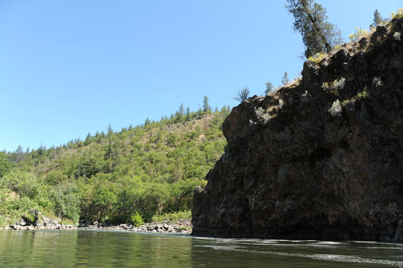
In 1978 Pacific Power and Light, (currently operating as PacifiCorp) worked with the City of Klamath Falls to file an application for the Salt Caves Dam that would have inundated the Klamath River between the J.C. Boyle and Copco dams and their associated reservoir. Today boaters float past the dam site marked by the bedrock wall on river left just past Bushwhaker The proposed earth-fill dam would have been 120 feet high and 380 feet wide at its crest. Pacific Power and Light ultimately backed away from the project although the City continued to pursue it. After a protracted battle, the proposal ultimately died in 1994 when an 11-mile stretch of the Upper Klamath was designated Wild and Scenic at the request of the State of Oregon under Section 2(a)(ii) of the Wild and Scenic Rivers Act.
This rapid is formed by a rocky bar with most of the flow heading down the right but you need to be careful and pull hard left as you near the bottom. A rock just off the bedrock wall on the right can catch raft and hold them and represents a particular challenge for heavy gear boats.
Follow the main flow towards the left but be careful of one rock that can catch you off guard.
The right channel is generally the preferred line. Make sure you stay left towards the bottom of the rapid.
Good options are available either on the right side or center left.
A take-out often used by outfitters immediately downstream of the Oregon/California state line. The road is steep and deeply rutted with drainage issues meaning you need a high clearance vehicle to get down to the river. Outfitters routinely bring their trailers down to the river's edge. A free, primitive BLM campground is on the bench above the river with few amenities other than a vault toilet; regular clearance vehicles can access the campground.
The end of the main whitewater and a standard take-out for those running Hell's Corner. The access features low-bank access and can be used by standard passenger vehicles. Owned by the Klamath Indigenous Land Trust.
Aug 15, 2023
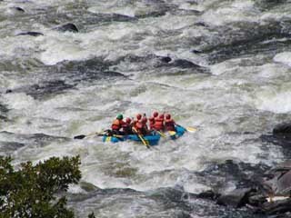
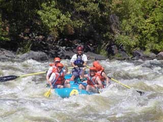
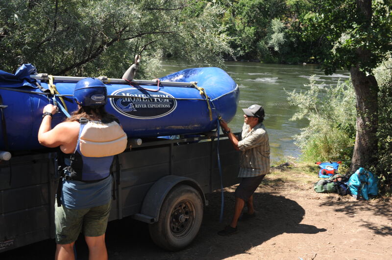
Last summer on a regulated Klamath River with the removal of Klamath Dams set to get underway. This trip was with Momentum River Expeditions.
Aug 24, 2022
With the pending removal of the Klamath River Dams, Momentum Expeditions and Noah's River Adventures hosted a trip on the river to experience the river as it exists prior to dam removal with Oregon Public Broadcasting. The Klamath Safari includes a trip from Spring Island down to a camp just above Stateline on day 1, a mountain bike ride back up to Frain Ranch and a second run from Frain Ranch down to just above Stateline on day 2, and then an inflatable kayak trip from Stateline down to Access 1 on day 3.