Little
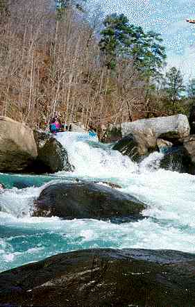
2. Upper Two to Eberhart Point(Upper Two)
March 17, 2005
| Reporter | Robert Maxwell |
The Little River at Blue Pond gage was recalibrated after Hurricane Ivan in 2004. Here is the new correlation for the Blue Pond gage and the Hwy 35 bridge gage. These levels should be considered in flux, because the Blue Pond gage will be recalibrated in the near future, as water levels permit. (3/1/05)
Blue Pond = 35 Bridge
500-650 cfs = -2.0
650-800 cfs = -1.0
800-1100 cfs = 0.0
1100-1300 cfs = 2.0
1400-1500 cfs = 4.0
1600-1700 cfs = 6.0
2000-2100 cfs = 7.0
2100-2200 cfs = 8.0
2600-2700 cfs = 12.0
I have an Excel 2000 spreadsheet that predicts the levels for Little River and several other rivers in the southeast. If you