Mountaintown Creek
Hwy 52w to Hwy 282/76w
Nov 13, 2009
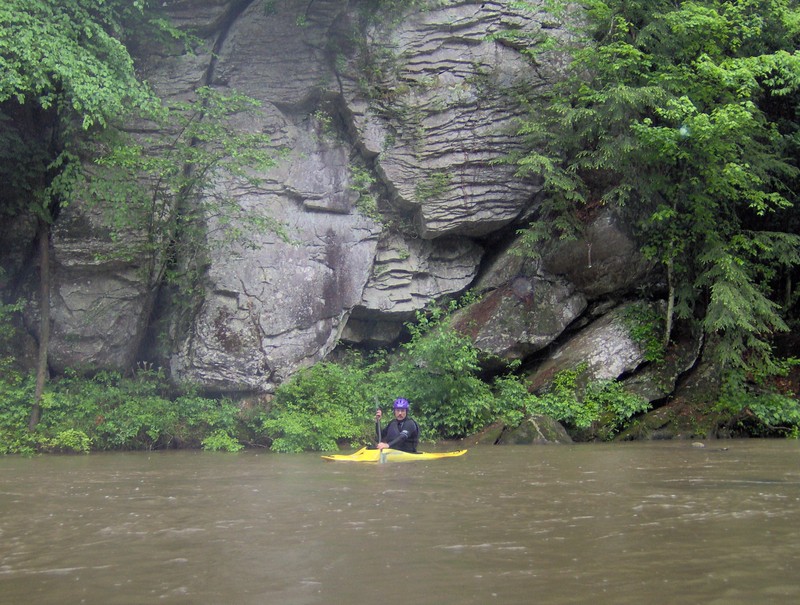
There is a gauge for this river at the 282 bridge now. I ran this 2 weeks ago and holly creek was about 250. The mountaintown gauge was at 195. Creek was fun at this level but would be better a little higher. There are 2 riverwide limbo logs that could become strainers at very high levels.
The next big rain after you paddled took out the limbo log just above the hwy 282 bridge, so now there is only one.