Chestatee
2 - Town Creek Church Bridge (a/k/a Garnett Bridge) to Copper Mine(Grindle Falls/Grindle Shoals Section)
Apr 15, 2020
Ran on April 14th, 2020. The class 2s on the first 2 miles are surprisingly really fun. You can portage grindle on the left by exiting before the entrance slide and walking along a narrow faint trail and lowering boats down/scrambling down the left side bank by the falls. It isn't a fun portage. Flow was 850 cfs. Run the entrance slide with a left angle to easily catch the current heading for the falls. We ran laps on the left slot double drop of the falls, there is a small tree in the right slot taller single drop. Ran the slide below grindle right of center. Center has a piton rock. Scout copper mine, it had some wood in center. Left side is good to go.
Jan 11, 2006
New Streamkeeper: Rick Bellows, chestateer@yahoo.com.
Aug 22, 2003
From Ranger Rob:
Since most of you want to know about the waterfall mishap, here goes:
Last weekend I noticed that the Chestatee River was running, so that
Jun 20, 2003
In order to run the left line over the falls you must head down the river left side of the first island.
It is easy to carry up and run the left and right lines from the pool below the vertical drop.
Jun 14, 2003
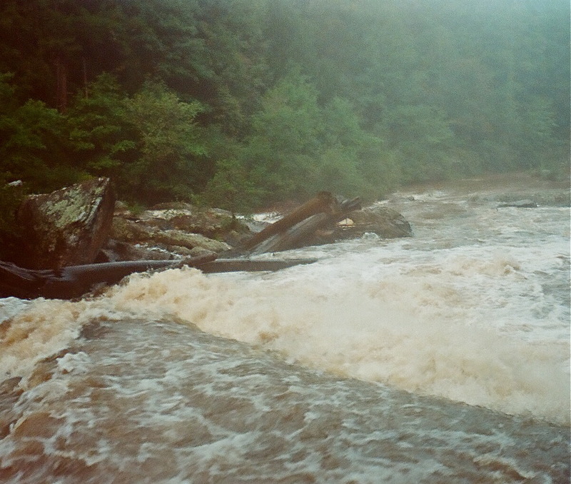
This is the whole rapid. On the right you can see the split boulder waterfall.
This is the slpit boulder waterfall
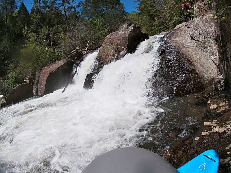
This is the first slide of a series of 3 that you encounter on the right line down grindle.
Jun 14, 2003
After reading the American whitewater page i was under the impression that Grindle falls consisted of only a 10 foot waterfall that was split by and rock
The truth is that there is more to Grindle falls than just the split-rock waterfall. There are about 50 more feet to it :) When I came to the top of Grindle falls it was quite a horizon line ('a little big for ten feet' I thought)
I went with most of the flow down the right side of the river which I find out later totally misses the falls pictured on the AW page. I am not sure how to get to the top of those falls (which were at the left river bank). The right side drops through three 10-15 foot drops/slides. I turn around and see the pictured falls (Quite a sight actually, I will get pictures up on AW when I get the film developed). Then I go down a 7 foot slide, then a 15 foot one to end Grindle falls.
After that it is flatwater until the coppermine rapid which is directly before the take-out. The best line is through the center shoot with some left angle. Also there is a really interesting copper mine at the takeout (an actual mine). It is a huge cavern that someone told me has an underground river beneath it.
Jan 1, 1900
All the land around Grindle Falls is privately owned. The land owners have never been thrilled with the paddling community, so you'll need to scout from the river bed to avoid a nasty trespassing charge.
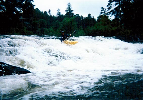
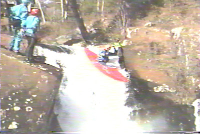
Milt Aitken doing the far left entrance slide to Grindle Falls.
Milt Aitken taking the far left line at Grindle Falls.
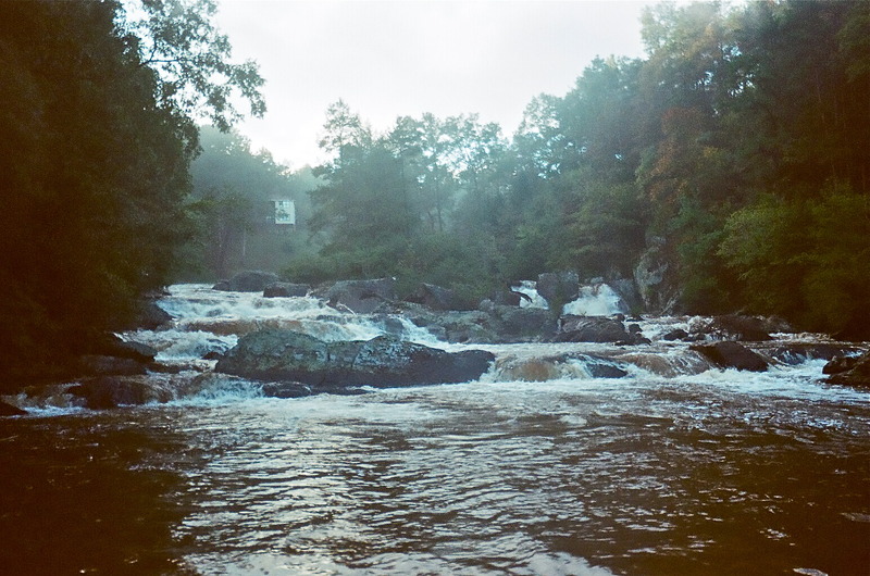
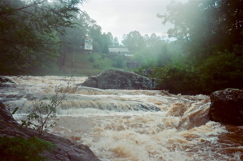
This is Grindle Falls from river right.
This is Grindle falls from river left.
Grindle Falls from downstream.
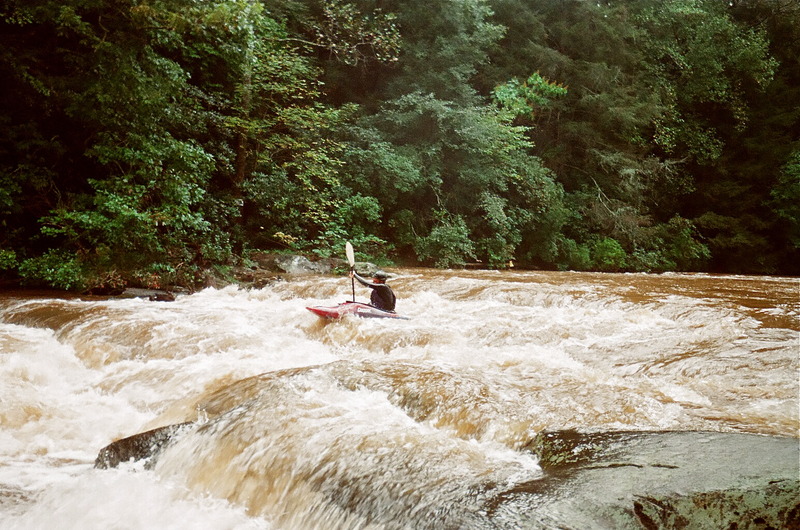
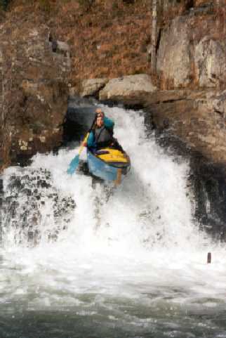
Milt Aitken running the slide just below Grindle Falls. The next 1.5 miles of the Chestatee is flat, until you hit Copper Mine Rapid at the take-out.
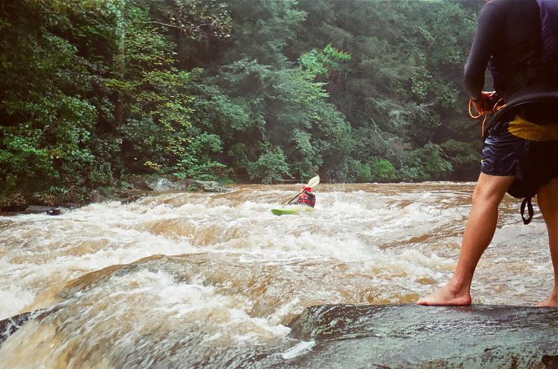
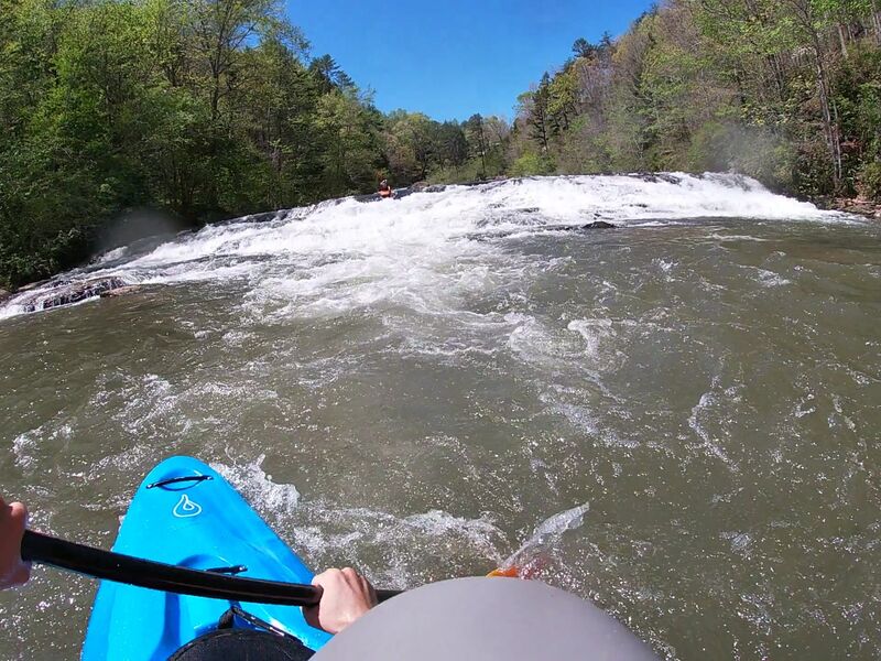
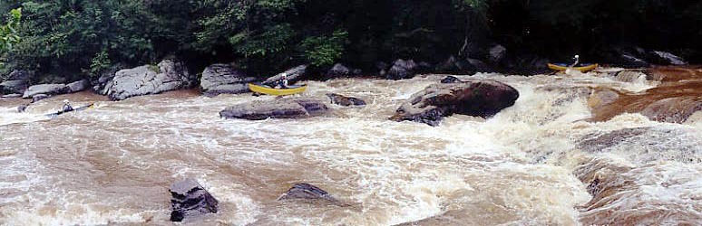
Copper Mine Rapid ends under the old bridge.
There are several lines to choose from on Copper Mine Rapid. Here's Milt Aitken running the far right side.