Irondequoit Creek
Channing H. Philbrick Park(Linear Park)
| Difficulty | II(III) |
| Length | 0.7 mi |
| Avg Gradient | 65 fpm |
| Gauge | Irondequoit Creek Above Allen Creek |
| Reach Info Last Updated | December 18, 2022 |
Irondequoit Creek is a small waterway that runs through Channing H. Philbrick Park (formerly Linear Park) in Penfield, New York.
Linear Park was formerly the site of a sewage treatment plant but now contains a city park, a road maintenance yard, and private housing.
Most of the year the creek literally runs at a trickle.
The highest recorded flood peak was 1,480 cfs on October 29, 1974.
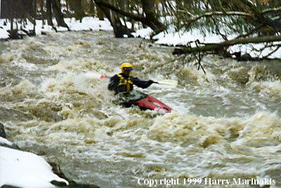
PHOTO: Harry Marinakis on a winter descent of Lower Falls.
THE PUTIN
Access to Irondequoit Creek is from the parking lot at Channing H. Philbrick Park, on Linear Park Road, off Route 441 (Penfield Rd.) in Penfield.
From the bridge at the parking lot, follow the hiking trail upstream along the river-right bank.
Put in anywhere that looks good.
IRONDEQUOIT CREEK - CHANNING PHILBRICK PARK
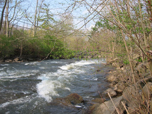
The stream drops steeply through Linear Park, providing an impressive half-mile run of class III whitewater with an average gradient of ~65 feet per mile. Irondequoit Creek is plagued with wood, so foot scouting is mandatory to locate the strainers.
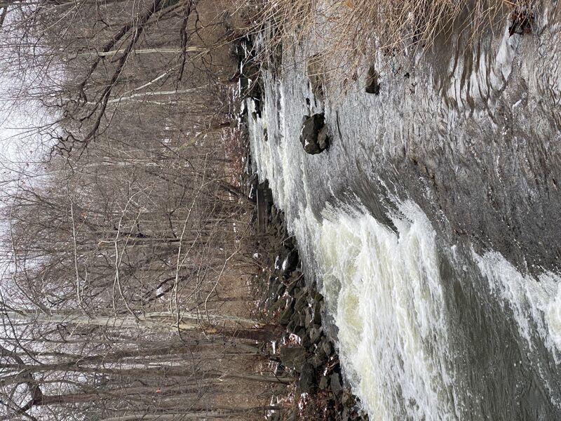
The drop through Linear Park occurs in two major stages: Upper Falls and Lower Falls. The more difficult of the two drops is Upper Falls, called Sgoh-Sa-Is-Thah by the Iroquois Indians. It is not a waterfall per se, but a steep cascade. In prior centuries the area was the site of industry that utilized the power of the creek. One can still see stone remnants of foundations through the thick brush and trees along the stream banks.
SGOH-SA-IS-THAH
(UPPER FALLS)
Upper Falls is rated class III. Two boat-eating hydraulics form between the concrete platform (on river right) and the observation platform (on river left). This section is best when the concrete platform
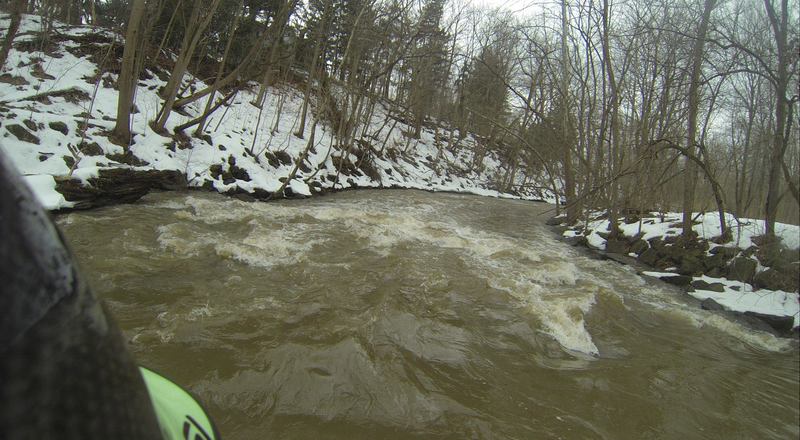
...Dec 18, 2022
Ran the whole creek down to the takeout. Water level was low and pretty scrapey.
The falls themselves were okay a couple eddies and ferries mid rapid that made for some okay practice.
Gauges on this run may need clarification.
Today these were the levels
USGS ALLEN CREEK NEAR ROCHESTER NY - 24.3CFS
USGS IRONDEQUOIT CR ABOVE BLOSSOM RD NEAR - 162CFS
AWA which says it references..
Irondequoit Creek above Allen Creek 138CFS
I am guessing they are using the Irondequoit creek and subtracting the Allen creek gauge which makes sense.
Picture below gives you an idea of the flow.
May 19, 2015
First rapid of the upper falls section. put-in for this section is on river right just upstream from where this photo is taken