Trip Reports
Log in to add a reportKC
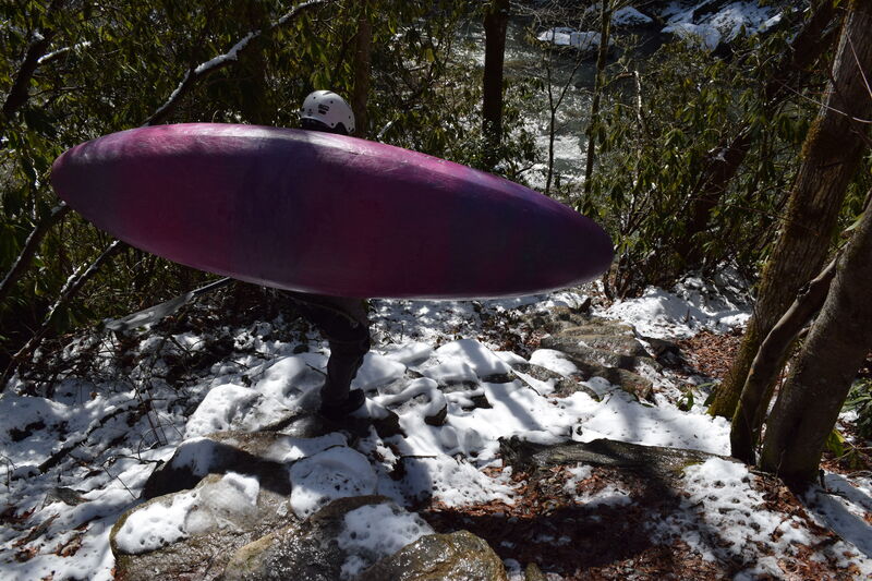
Winter Ellicott Rock Run - Kevin Colburn
Feb 9, 2020
Great day enjoying the only bridge-to-bridge section of the Upper Chattooga.
GD
Gary DeBacher
Oct 18, 2014
Link to my '93 account of wading Section 0 at extremely low flow. The coverage down to Ellicotts Rock is good, but after that it is spotty because there is a trail right by the river, down to Burrells Ford. Sorry the link is probably run into this text. Just copy the link and go there.
RM
Robert Maxwell
May 22, 2013
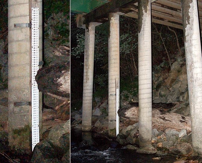
The 'official' gage for the Chattooga Headwaters is the Burrell's Ford staff gage. Its located on the river left side of the bridge. In theory 1.5 to 1.7 is minimum for running the headwaters. Which probably translates to 2.5 to 2.8 on the USGS gage. (These levels are NOT varified, so use them with caution) When this photo was taken the Burrell's gage read 0.35 and the USGS was 1.02. Soon as we gain access to the headwaters, we can dial this gage in legally! Support AW..
The 'official' gage for the Chattooga Headwaters is the Burrell's Ford staff gage. Its located on the river left side of the bridge. In theory 1.5 to 1.7 is minimum for running the headwaters. Which probably translates to 2.5 to 2.8 on the USGS gage. (These levels are NOT varified, so use them with caution) When this photo was taken the Burrell's gage read 0.35 and the USGS was 1.02. Soon as we gain access to the headwaters, we can dial this gage in legally! Support AW..
BJ
Brian Jacobson
Jan 5, 2007
This video was made during the Chattooga Headwaters boaters trials. To find out additional information about the project to gain access to this amazing resource go to

RM
Robert Maxwell
Aug 12, 2006
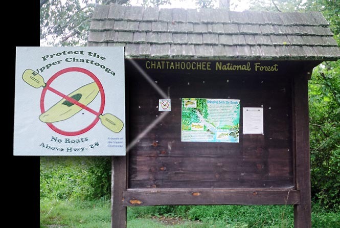
I saw this sticker on the Hwy 28 bridge information sign on 8/12/06. If you don't think they are serious about keeping the illegal and unjust boating ban in the Chattooga Headwaters, think again.
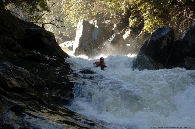
BJ
Brian Jacobson
Jan 5, 2006
Fourth pitch in this drop
KC
Kevin Colburn
Jan 1, 1900
Super Corkscrew
KC
Kevin Colburn
Jan 1, 1900
One of several side waterfalls