San Juan
02. Mexican Hat to Clay Hills Crossing(Lower San Juan)
| Difficulty | I-II(III) |
| Length | 56.7 mi |
| Avg Gradient | n/a |
| Permit | A permit is required year-round. For trips launching April 15 - July 15, launches are allocated through a permit lottery with applications due on January 31. Permits for trips before the lottery season are available by reservation on December 1 the year prior and trips after the lottery season are available by reservation on March 16. |
| Gauge | San Juan River Near Bluff, Ut |
| Flow Rate as of 2 hours | 552 cfsrunnable |
| Reach Info Last Updated | January 14, 2026 |
The Colorado River has been over-allocated and mismanaged for more than a century. Known as the hardest working river in the western US, the Colorado River flows from Rocky Mountain National Park in Colorado to Mexico where it gets sucked dry before reaching its mouth in the Sea of [...]Read More
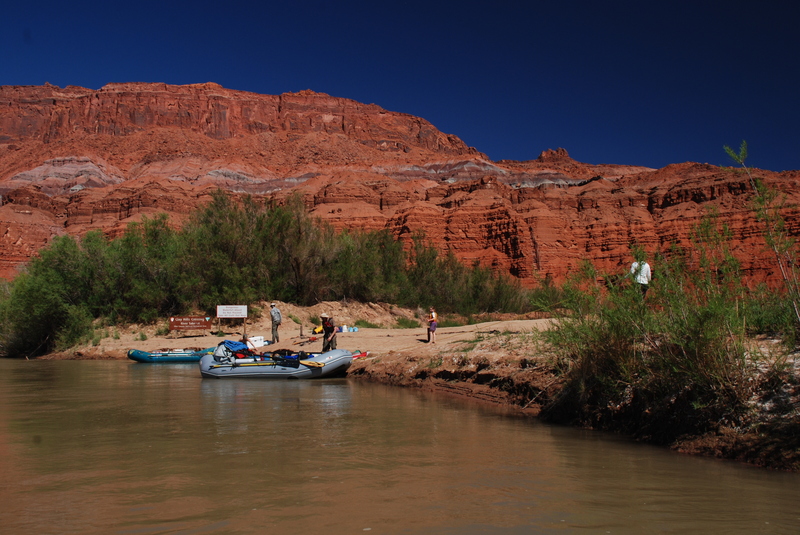
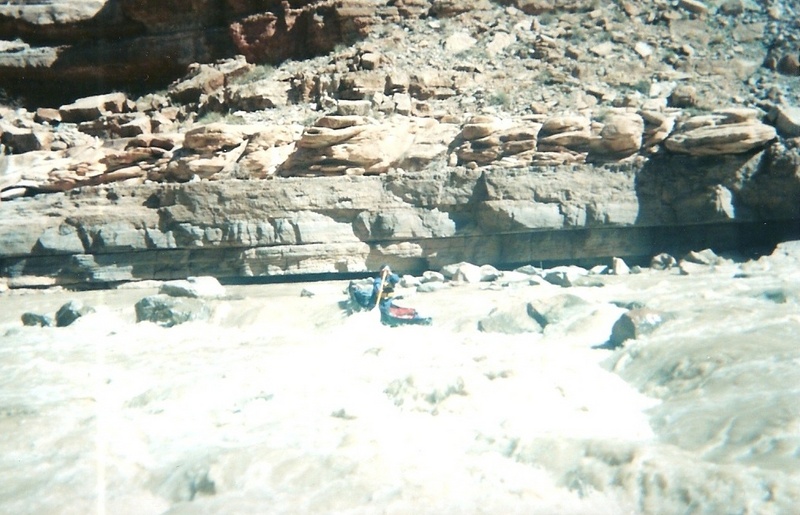
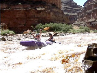
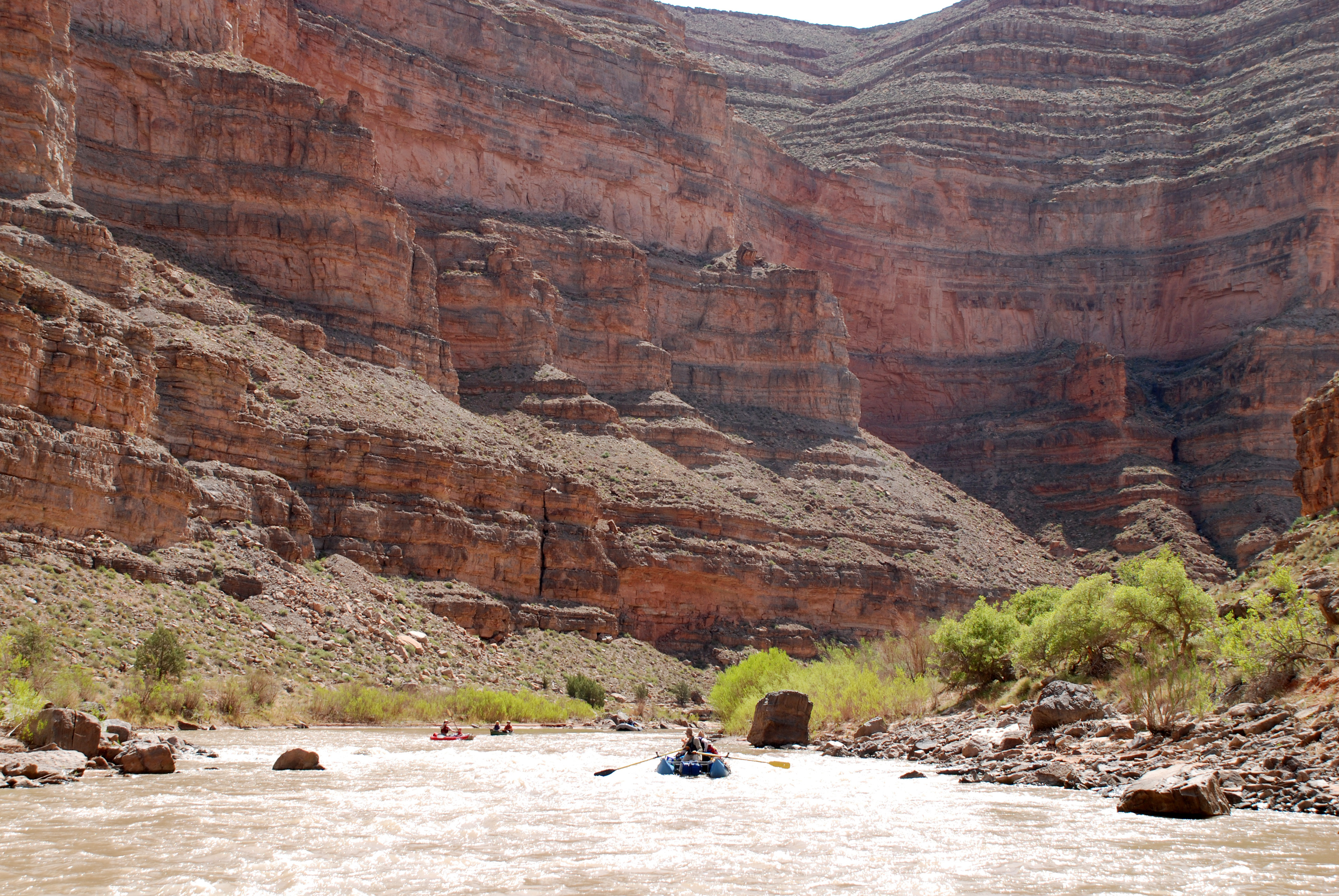
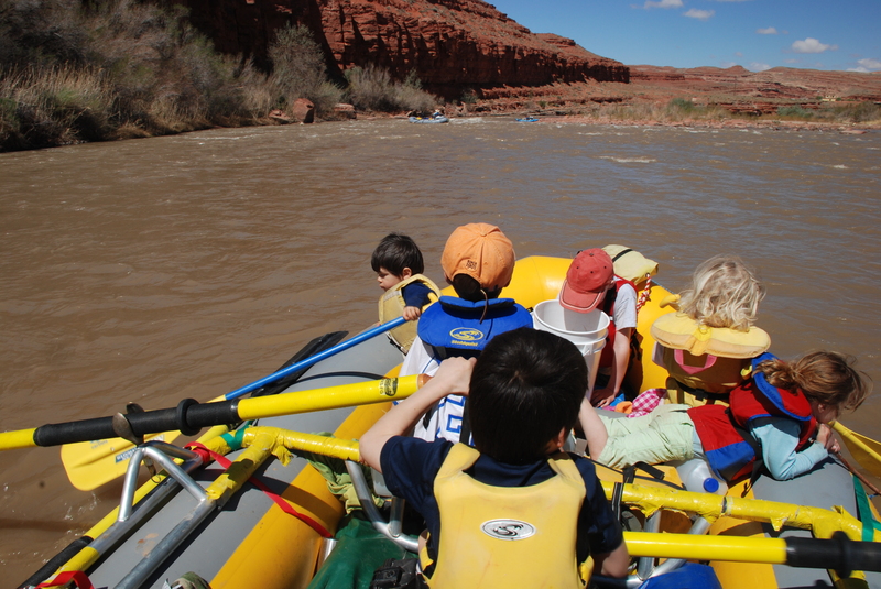
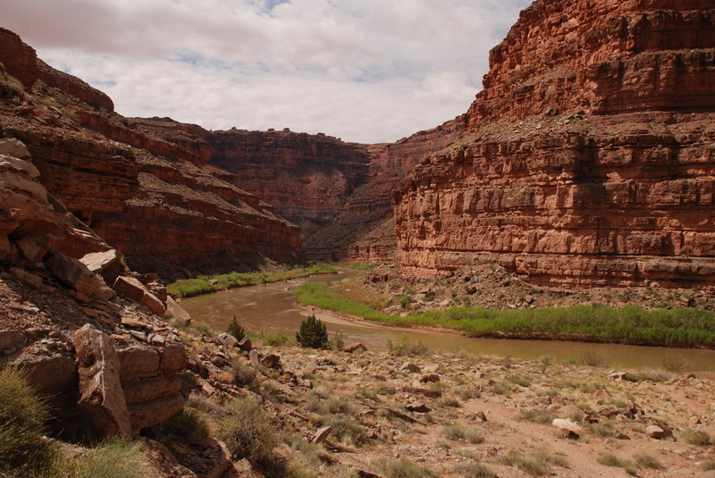
The Lower San Juan River down to Clay Hills Crossing and the slackwater of Powell Reservoir is a classic western float trip and a great run for families. The river is characterized by some truly impressive canyon scenery, plenty of great camping, and some cool side hikes. Many groups take rafts, but this is also a popular canoe trip. Permits for river runners are distributed annually by the Bureau of Land Management through a lottery system. While most camps are on river right, some camps are on river left and since these lands south of the river are part of the Navajo Reservation, a permit from the Navajo Nation Parks and Recreation Department is required for overnight use (put in your permit request well in advance of your trip). Flows are often best in the spring which typically corresponds to comfortable hiking weather, but many groups come to enjoy the river during the early summer. The usual rules for desert river trips apply and you can expect to have your gear inspected at the put-in. This means you will need to bring a toilet, fire pan, and ample drinking water (the sediment laden river water would not be easy to filter and tributaries are typically dry creek beds).
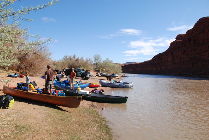
The BLM launch site in Mexican Hat has ample space for camping and staging your trip. The site does not have water however so fill your water containers before you arrive or make arrangements with a local business. Boaters are advised to park cars at the private parking lot up the hill in town as there have been problems with break-ins. If you hire a local shuttle driver, he should be able to help with arrangements.
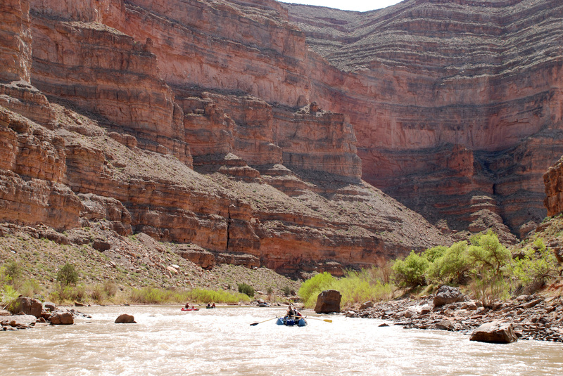
A short distance downstream of the launch, you will arrive at Gypsum Creek Rapid, a straightforward class II. Soon after running this rapid, you pass under the Highway Bridge at Mexican Hat and begin your journey through the impressive canyons of the Lower San Juan. It's a mellow float for the 10 miles down to the Goosenecks, known as one of the world's best examples o
...
A class II rapid immediately below the put-in.
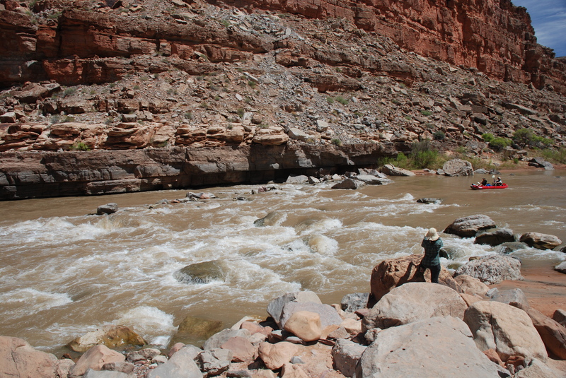
Formed by a debris fan originating from the canyon on river left. Scout from river left.
Largely gone due to backwater effect of Powell Reservoir.
Waterfall downstream of Clay Hills Crossing where the river has cut a new course through the silt of Powell Reservoir.
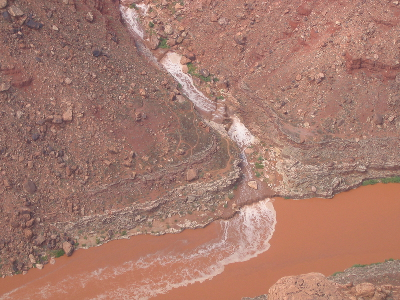
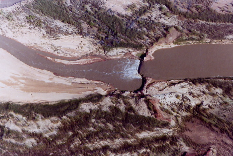
Aug 11, 2005
Flash flood in Grand Gulch at the confluence of the San Juan. The final pourover is about 5' high, for scale. Aerial photo from ~2000' agl.