| Difficulty | I(II) |
| Length | 13.2 mi |
| Avg Gradient | 3 fpm |
| Gauge | Cadron Creek Near Guy, Ar |
| Flow Rate as of 38 minutes | 2.80 ftrunnable |
| Reach Info Last Updated | May 26, 2017 |
River Description
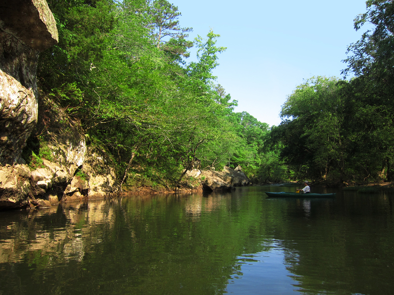
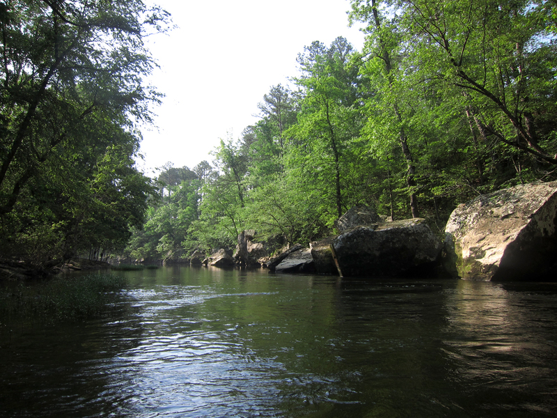
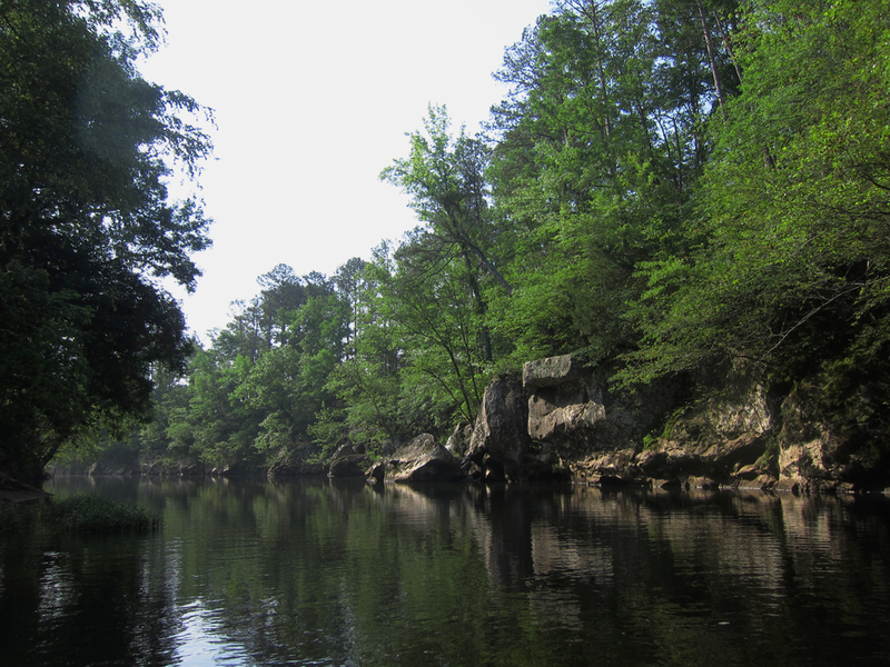
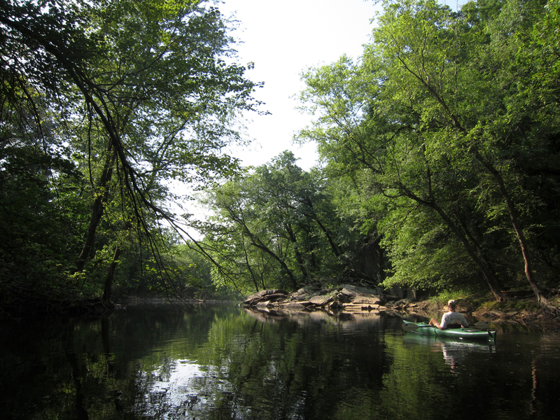
Above Batesville Mountain the Cadron is a quiet Ozark stream meandering through rolling countryside. Bordered by dense stands of hardwoods and bluffs, there are few signs of civilization. There are frequent ripples and shoals but the rapids are gentle. There are also many nice places to swim and explore waterfalls and rock grottos. This is a very scenic run for those learning to canoe or families with small children albeit a couple of the shoals near the end might make a mother nervous at levels above 4 feet.
The put-in is found on north-west corner of bridge -- do not block gate! This run passes the remnants of Hartwick Mill--a large corn grist mill that was washed away in the flood of 1927. Part of the old dam can still be seen protruding from the water just below the put-in river right. About 3.5 miles further downstream is 'Sparky's Trail' -- the rock trail can be seen ascending the bluff on river right. The trail was built by a rock mason named Sparky who quarried, cut and stacked the rock all by himself. Explore the trails and vistas but please respect the private landowners -- Cadron Creek Outfitters -- by leaving no trace of your visit. As you approach the take-out BBB Falls can be seen cascading from atop a bluff river left. Soon thereafter you will enter Pinnacle Springs Campground -- most people run Sarah's Wave and take out at the 'lower acess' where a gravel road can be seen on river left. There is a five dollar fee to take-out or put-in at Pinnacle Springs Campground for whch you get secured parking, streamside access, picnic tables, water. and porta-potties. Or you can go another mile and take out at Highway 310 bridge also on river left. There are no amenities here but you save some money and the current private landowner is receptive to no trace access. Do not block his gate.
UPDATE: May 2017 - Recent floods have resulted in several downed trees and bank erosion. One scrappy mandatory portage at this time approx. 2 miles dow
...River Features
Put In
Access PointDistance: 0 mi
Dark Hollow
OtherDistance: 6.6 mi (approx.)

Dark Hollow is aptly named as it is always heavily shaded by a canopy of trees and a long high bluff that lies close to the creek on river left. It is really just one long shoal punctuated with riffles, eddies and small play waves (Class I+) highlighted by BBB Falls which cascades from atop the bluff into a rainbow splash zone.
Take Out
Access PointDistance: 11 mi