Umpqua, South
3. Campbell Falls to Three C Rock

| Difficulty | III-IV |
| Length | 9.5 mi |
| Avg Gradient | 29 fpm |
| Gauge | South Umpqua River at Tiller, or |
| Flow Rate as of 1 hour | 47 cfsbelow recommended |
| Reach Info Last Updated | June 4, 2019 |
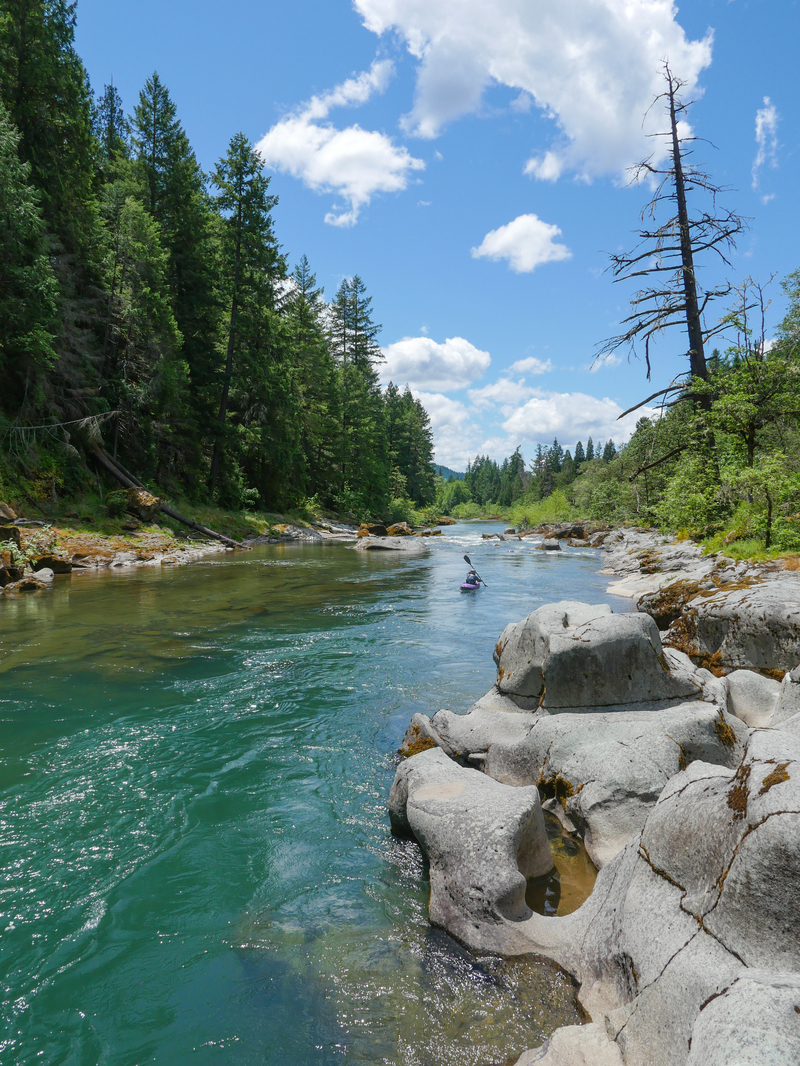
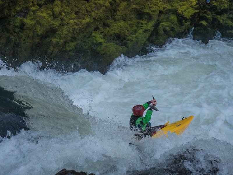
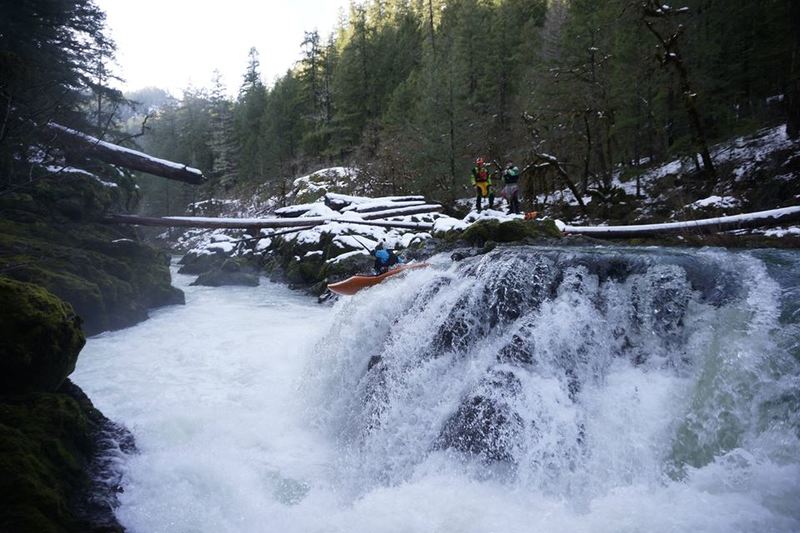
Katie Petrick: The Campbell Falls to Three C Rock section of the S. Umpqua is a class III run at most water levels with a short, easily portaged class III+/IV drop and an optional waterfall at the put-in. After a short walk down from the road, a boater can climb across the small, river-right braid onto a lava rock formation to scout the falls at most water levels. The most obvious line will be an obvious boof sending 10-12 feet down into a walled chute accented with bright green moss. Logs high above water level extend across the chute from their flood-placed resting spots on the lava rock. Seal-launching and putting in downstream are also easy enough options for those wishing to forgo the landing.
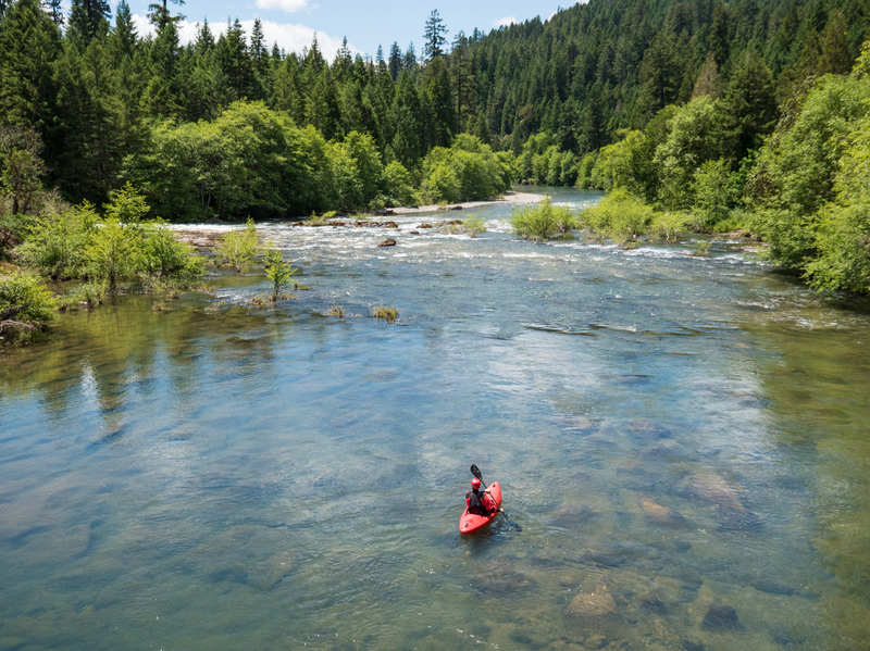
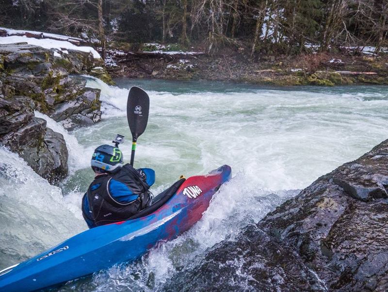
Like much of the rest of the S. Umpqua, this section passes through coniferous forest. As always, maintain a constant vigilance for wood – log jams and strainers caused by seasonal flooding, fires, and wind storms are not un-common. The banks and rocks of the beautiful, blue-green S. Umpqua are covered in several types of mosses and lichens. During spring and early summer there are dozens of species of wild flowers. Winter bald eagle sightings on this stretch are very common, and don’t be surprised if you find yourself running rapids with the ducks. There are also a few places where the river has carved, and in one spot, actually undercut a cliff-peninsula out of the slope forming the let bank. Try to recognize the one that looks like a gigantic fist. Most rapids of significance on this stretch involve the river funneling into a little chute or small drop between rock ledges cropped out from the riverbanks. Several of these features will have horizon lines from upstream. Be aware that higher water (approaching 2k) will turn some of these drops into river-wide ledge holes. Probe or scout if you are unsure.
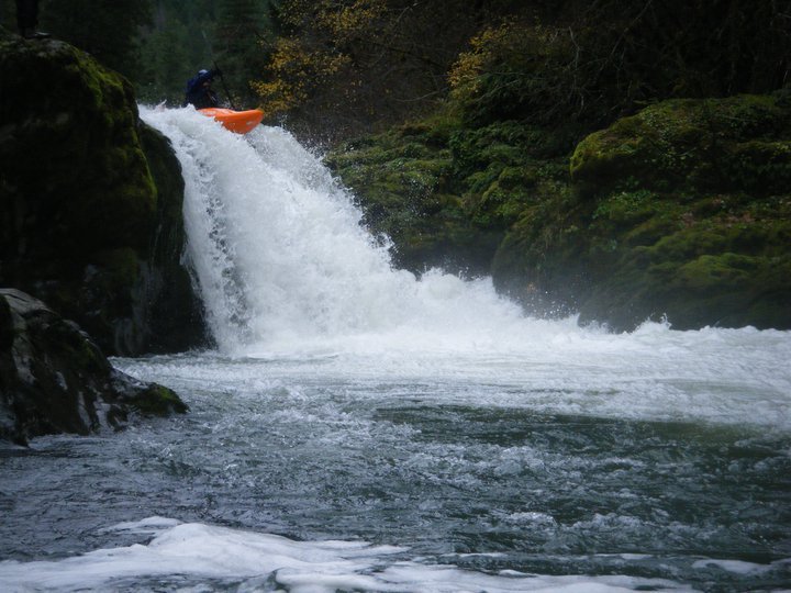
The most significant of the drops occurs about 3 miles after the put-in. The river widens and becomes shallow and then funnels powerfully and turns to th
...Jun 6, 2017
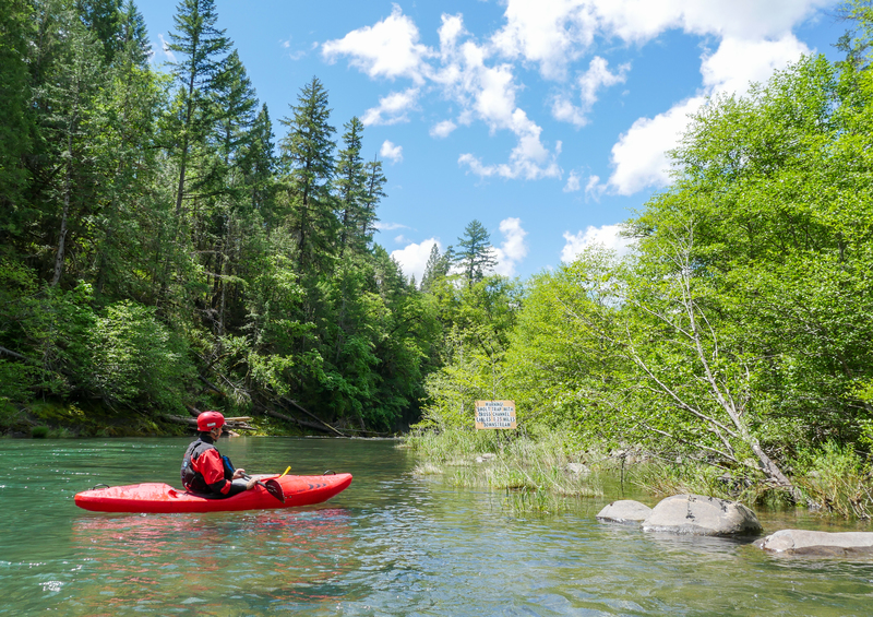
A sign warning of a fish trap on the river. The fish trap is well placed in that it is easy to bypass.