Bower Creek
Fonferek Falls to Hwy.V/Tordeur Ct.(4.3 miles)
Apr 22, 2017
There is a 'stick' gauge at Dutchman Road which should be checked to verify flows.
Mar 14, 2015
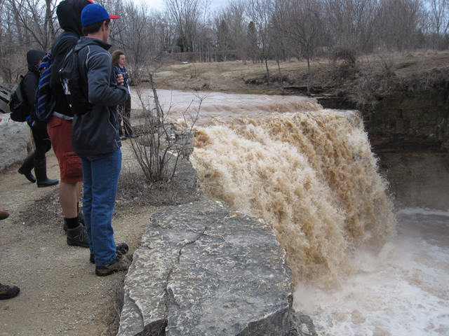
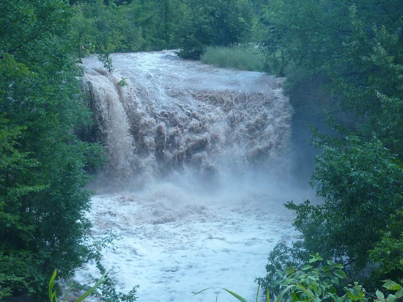
Gives it more scale
Mar 14, 2015
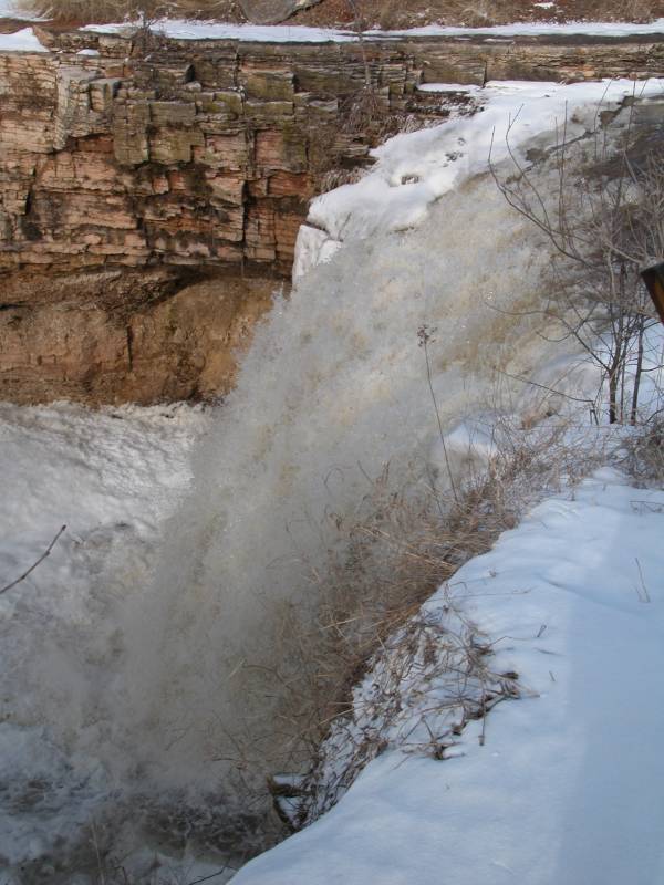
Rolling lip would make it hard to keep the bow up
Aug 11, 2010
On a long straightaway in the second half of the run, a large (for this little creek) boulder sits on the right, and a couple of back-to-back holes formed up. This is a close-up of the second hole.
Aug 11, 2010
On a long straightaway in the second half of the run, a large (for this little creek) boulder sits on the right, and a couple of back-to-back holes formed up. This is a (more-or-less) wide-angle perspective of the holes.
Aug 11, 2010
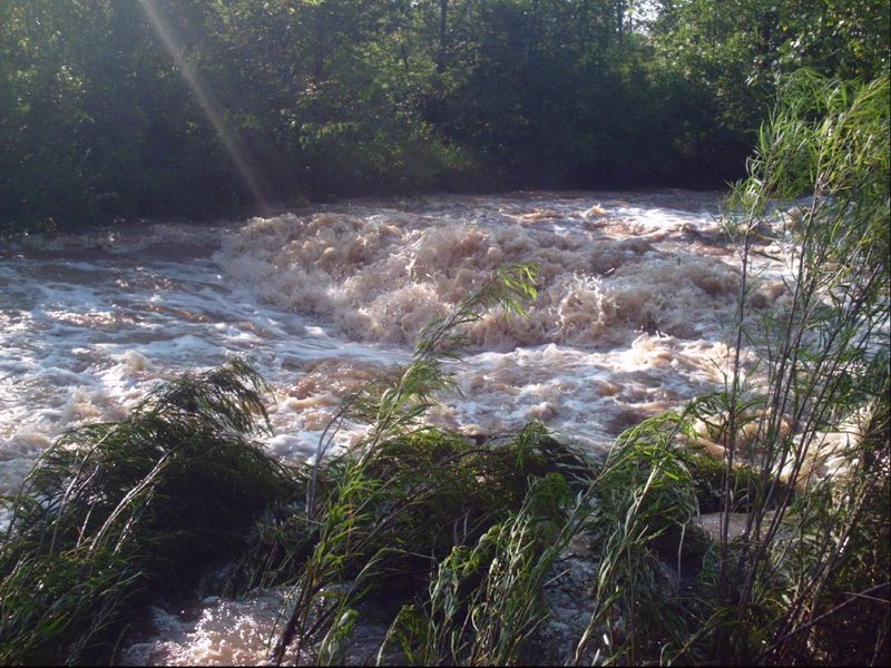
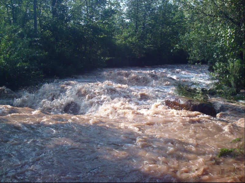
Roughly midway down the run, after a stretch of tamer action, the current picks up a bit, a couple small ledges/wave-holes are encountered, and you enter another dells area, less substantial than the initial dells, but scenic and fine in its own right.
Aug 11, 2010
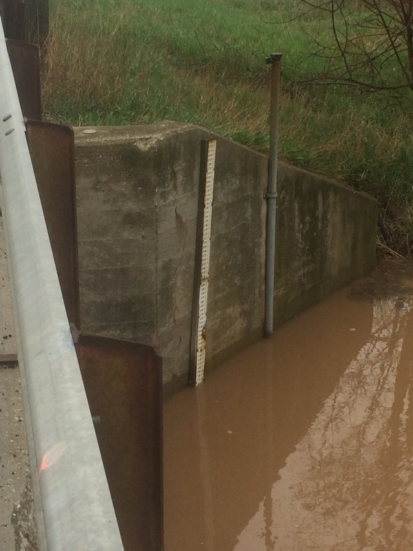
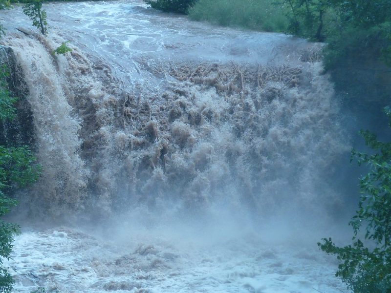
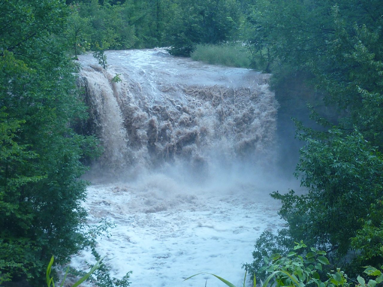
A 'close-up' shot of Fonferek Falls, with the Bower USGS gauge at 10.5'. (This is the actual Bower Creek reading, by visual inspection of stage stick at the bridge. This gauge is not currently reported online, and is not the gauge from Baird Creek which is used as a reference gauge on this river listing.)
I had no interest in running this falls, and (at this 10.5' level) felt that it would have been near crazy to run the initial dells sequence, since there was wood in the Blind Left Bend just a short ways downstream.
Aug 11, 2010
A 'close-up' shot of Fonferek Falls, with the Bower USGS gauge at 10.5'. (This is the actual Bower Creek reading, by visual inspection of stage stick at the bridge. This gauge is not currently reported online, and is not the gauge from Baird Creek which is used as a reference gauge on this river listing.)
Aug 11, 2010
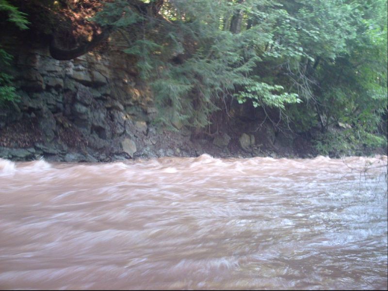
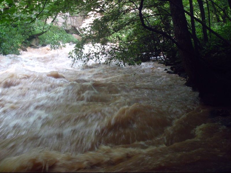
This shot shows (blurred in the background) the lower part of the initial dells sequence, and the typically overhanging branches which make scouting this drop (before putting on) so important. Any wood in this area, or low-hanging branches, could be catastrophic if you just came screaming around the bend without first having scouted, since the current will be fast, and there will be no good eddies nor any reasonable way to get out to portage. You would be swept into whatever lay in (or low over) the river.
Aug 11, 2010
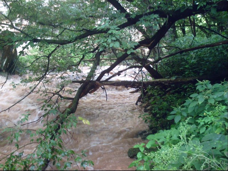
This shot shows the typical overhanging branches and wood which make scouting this blind left-hand bend (before putting on) so important. Any wood in this area, or low-hanging branches such as shown here could be catastrophic if you just came screaming around the bend without first having scouted, since the current will be fast, and there will be no good eddies nor any reasonable way to get out to portage. You would be swept into whatever lay in (or low over) the river. This particular day, there was about a 3' wide line which was 'open', but even that involved passing under an over-arching tree just downstream. Being just a foot or two off your line would mean eating tree branches, followed by being clothes-lined by a 3-4' sapling at chest height in a surging wave train! (I put in below all this for my run on this day.)