| Difficulty | II-III |
| Length | 16.4 mi |
| Avg Gradient | 25 fpm |
| Gauge | Illinois River Near Kerby, or |
| Flow Rate as of 41 minutes | 35 cfsbelow recommended |
| Reach Info Last Updated | December 28, 2024 |
Projects
Kalmiopsis Rivers (OR/CA)
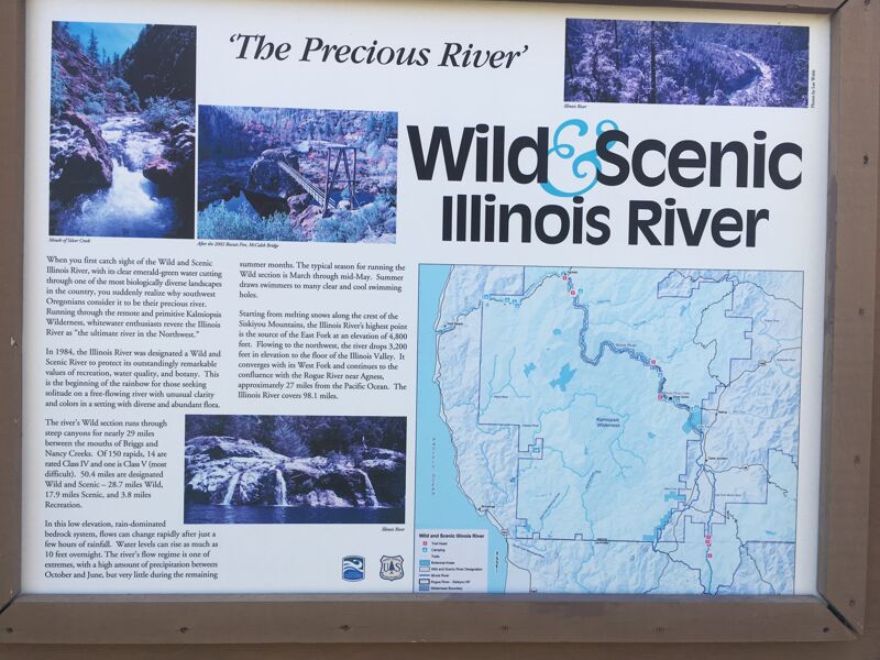
The Siskiyou Mountains in Southwestern Oregon give rise to iconic wild rivers like the Wild and Scenic Illinois, Rogue, Chetco and North Fork Smith Rivers. The region is known for its stunningly clear rivers, salmon strongholds, unique and rich biodiversity, and outstanding opportunities for angling and backcountry whitewater adventures. [...]Read More
River Description
This run can be done as a day trip or as an upstream extension of the classic overnight wilderness run on the Illinois. Note that although this is a good option for kayakers, the portage at Illinois River Falls and the river-level foot bridge are problematic for rafts. Rafts should put-in at the McCaleb Bridge and take in just the lower portion of this run (see map) or just skip this section and put-in at Miami Bar. For a day trip, rafts should put in at 8 Dollar Mountain Bridge on NF-4201 and take out at Ring Beach (previously called 10 mile) to avoid the Illinois River Falls and the McCaleb bridge hazard.
When flows are up, typically above 1,800 cfs, you can float on Deer Creek (4.4 miles) to the confluence with the Illinois (Class II-III). Deer Creek is under the bridge a 1/2 mile or so south of the store in Selma. Siskiyou Field Institute will also allow respectful boaters to access Deer Creek on their private property for a $5 parking fee. Call Lily, caretaker at SFI with any parking concerns or questions.
An alternate access for a short run is at the Snailback Trailhead. This is a posted river access point a mile or two downstream from Selma. A pretty, 1/2 mile downhill walk gets you to the river and it's about 3 miles to a take-out below Lower Six Mile. There are four stand-out Class III to III+ rapids (Ranch Rock, Crankshaft, Upper and Lower Six Mile) in that distance but the deep canyon is beautiful and wildlife plentiful. The rapids can pack a punch when flows at the Kerby gage reads over 1,500 cfs and the right side of Ranch rock becomes munchy above 3,500.
Below lower Six Mile Rapid is a mile or two of Class II, then a fun III+ rapid that signals lower Illinois River Falls (V+) is around the corner. Eddy out and portage right when a block of concrete appears in the middle of the river (fish ladder). After the falls, it's Class II to the floating bridge at McCaleb Ranch where you can expect to portage. This foot bridge and the road br
...River Features
Snailback Access
Access PointDistance: 5.43 mi
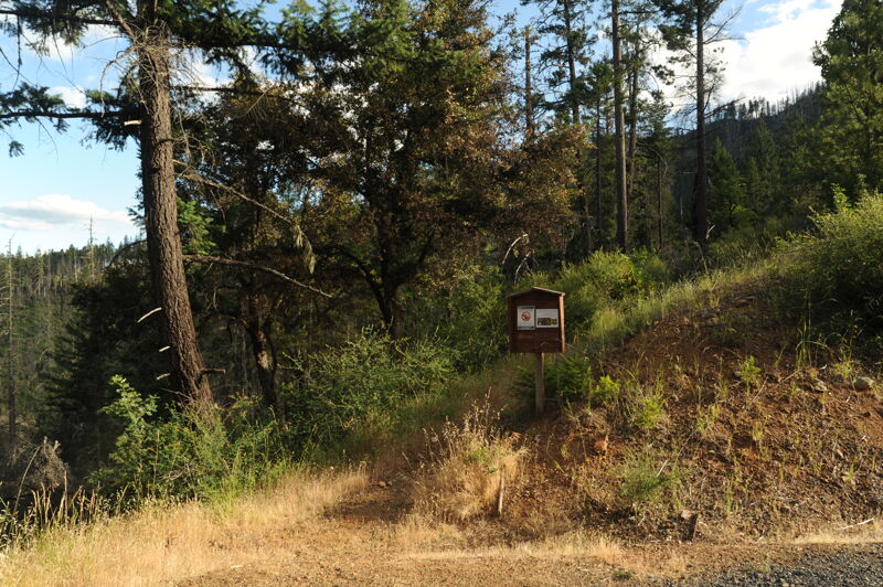
Walk in at the Snailback Trail Head, a posted river access point 5.2 mile down the road from Selma. A pretty, 1/2 mile downhill walk gets to the river. USGS river mile 45.5.
Illinois River Falls
Waterfall / Large DropClass: VDistance: 11.27 mi

Eddy out and portage right when a block of concrete appears in the middle of the river (fish ladder). After the falls, it's class II to the floating bridge at McCaleb. USGS river mile 39.7.
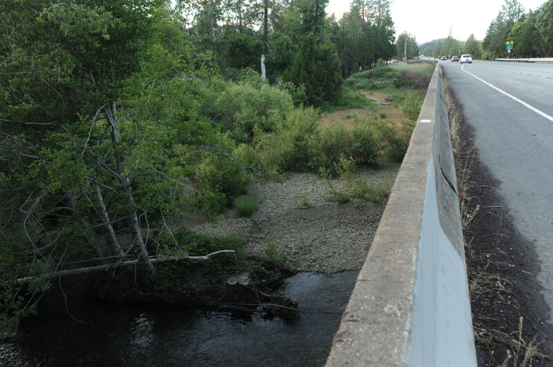
Rancheria Bridge (at McCaleb Ranch)
Access PointPortageHazardDistance: 11.67 mi
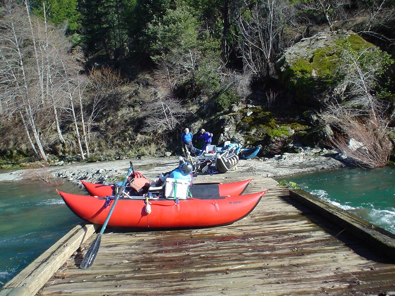
The Rancheria Bridge (Forest Road 4103-087), a low water bridge at McCaleb Ranch typically requires a portage. This is also an alternate access point for those who want to paddle this reach but don't want to deal with a portage at Illinois River Falls or the bridge. There is also a foot trail bridge just upstream of the road bridge, but it is currently closed and in disrepair/ unusable. USGS river mile 39.4.
Trip Reports
Log in to add a reportNS
Day trips on Deer Cr & Illinois - Nicole Smedegaard
Dec 28, 2024
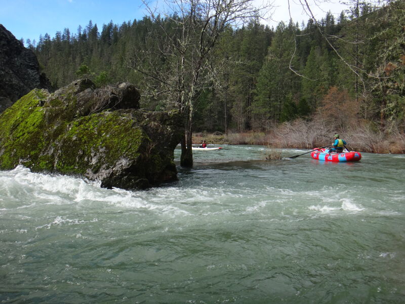
Deer Creek into the Illinois is a great day trip option for 'high water' boating when other runs are washed out. Rough and Ready is a good pairing to do two runs in one day locally. For rafts, 2000 to 5000 is a fun medium to medium high flow, enough to fit down the creek and have a rowdy big water feel out on the Illinois. Look out for large features on the right side of Ranch Rock at flows above 3500, most folks will cheat left. Be cautious of wood on Deer Creek, althoug it has been clear the last several years. Here are some photos of 3200 and 4000 cfs.
TO
Access Points - Thomas O'Keefe
Jun 20, 2023