Guess Creek
State Highway 146 to County Road 20
January 4, 2017
| Reporter | Wes Brown |
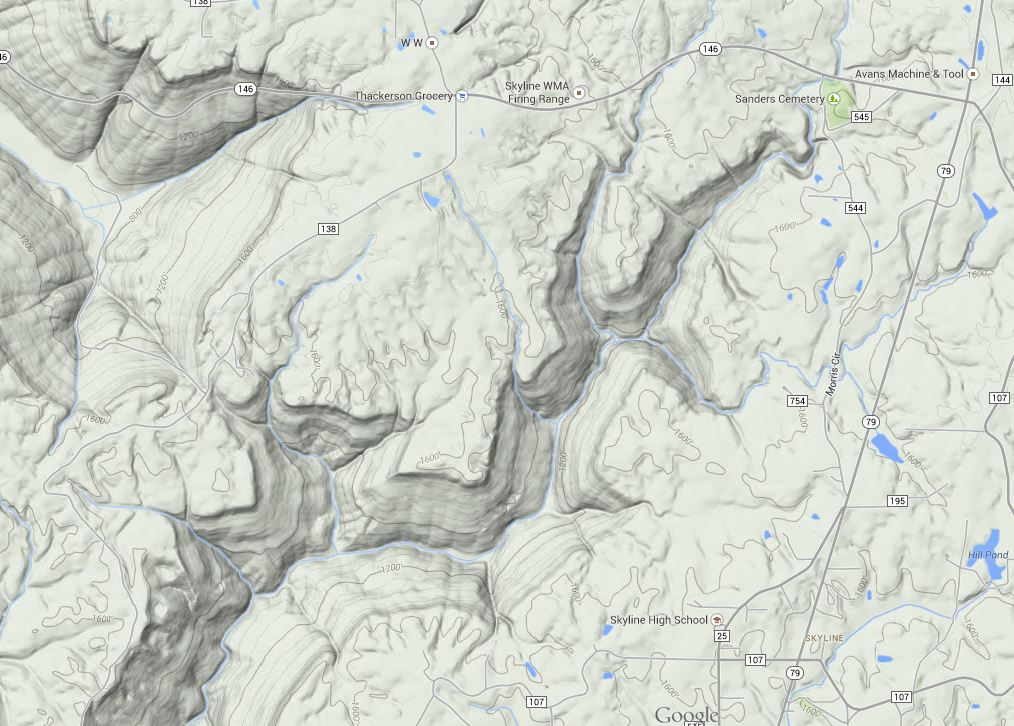
This creek starts off named 'Mill Creek', at the sensible put in on Hwy 146 at Sanders Cemetery. In this picture, you see the two main forks that start near each other on Hwy 146. The left/west fork is Guess, the right/east fork is Mill. At Hwy 146, Mill has a drainage area of 3.9 square miles. At Hwy 146, Guess as a drainage area of ~1.5 square miles.