Guess Creek
State Highway 146 to County Road 20
January 4, 2017
| Reporter | Wes Brown |
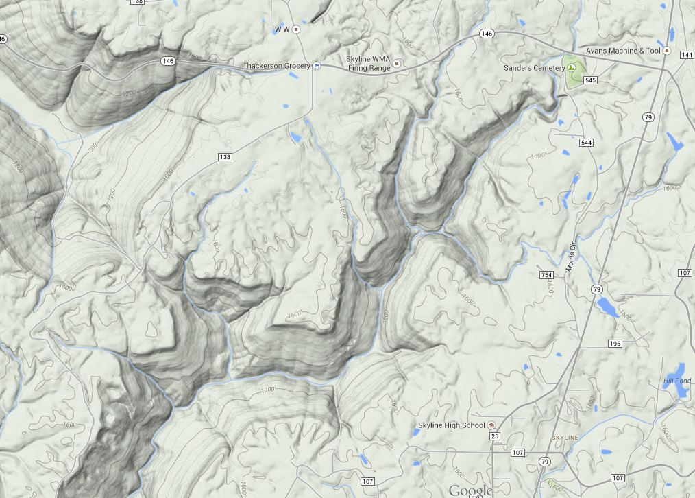
This is what the drainage basin looks like after the main tributaries have all joined. Mill starts at Sanders Cemetary on Hwy 146 and has a 3.9 square mile drainage area at this point. Neely Branch, from river left, adds 3.6 square miles of drainage area. Guess Creek, from river right, adds ~1.6 square miles of drainage area. The total basin size at this confluence is 9.1 square miles.