Tenmile
South Dover NY to Gaylordsville CT(10 Mile)
Mar 30, 2025
!! Trees fallen on river left of State Line rapid, blocking route with very dangerous strainer. These are new trunks from the ones previously present on river right.
Difficult to see upriver given the obstructed view/elevation difference, and may be covered under higher flow. Scouting/portage will be necessary.
Ran at ~2.26 ft, 03/30/2025. No further anomalies to report.
Jul 8, 2015
Apr 11, 2010
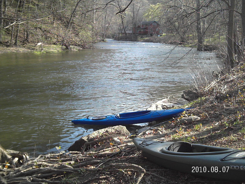
Put In at Dogtails Corner right off rt 55. Parking right off road, dirt area enough for a pair of cars or so. There is a nice little path down the the waters edge.
Apr 11, 2010
There is a spot on the right of Dogtail Corners rd, just off rt 55, that has a place for a couple cars to park and put in. Paddled upstream for a bit than floated back down. Current was moving fairly fast, gps clocked the max speed (coming back down) at around 6 mph. USGS data suggests for Tenmile 472 cfs, and gauge 2.6 ft. The water was high enough that only the largest boulders in the river were an issue. Wouldn't say there was much whitewater. The best part was all of 20 seconds right after the bridge at Dogtails Corner, but still quite mild. 4-5 people were fishing on the river.
Mar 23, 2010
Ran on 3/20/2010. Gauge near state line was at 3.0 feet. Good water, few rocks we couldn't clear, fun ride. btw, gauge is back on-line at USGS, though not on americanwhitewater.org.
Apr 15, 2007
ran this again 4/14/07. the guage was at 2.96 and although only slightly higher than the last time I ran it, it seemed beefer. At this level, right after state line rapid, there were two good surfing waves, with water deep enough to roll with out hitting rocks. Bulls bridge on-line guage was about 3500 cfs and about 5.40 (give or take) the flinstone guage seems to have faded after 5ft but others guess about almost 3ft. At this level, Georges Hole wasn't as fun since it seemed to keep pushing me to the right. I have been told people have gotten trashed on the extreme right, so I didn't push my luck.
Apr 17, 2006
Did this river today 4/15/06 . Although most everything in Southern N.Y. and Ct was too low too run,Ten mile was runnable.The put in in webatuck,headed east from N.Y. is on the left, across the street from a bait and tackle. If you see the river on your left leave the road, you went to far. To get to the take-out in Gaylordsville Ct, continue on 55 East until it ends, make a right then an immediate left down the hill.
ABOUT THE RIVER: The gauge in N.Y. was at 2.90, kind of low but still fun. The first real rapid is Stateline.There's an island, we ran left of the island. I was told to stay to the right, angled right because supposedly there's a possible pinning rock on the left. Although there were two newbies nervous going down, they did fine. Still, some may want to scout, easly done on river left. The rapid is near when the river turns left and you see an island with a lot of logs dumped on it.Not to long after passing a gauge on river left.
A little further down there's a good surf wave which wasn't much at today's level. You can eddie left behind a rock with a branch about the thickness of a forarm sticking out.
When you get to the confluence of the Hous, you can pull out under the bridge for the appalachian trail. It's a pretty area and although Rte 7 can't be too far, I couldn't see or hear cars. My kind of lunch spot.
When you get on the Hous, there's some nice surfin' just as you make the right on to the Hous.
Last rapid of importance, George's Hole. After the river bends slightly to the right and there's a beach on the right,you may want to get out and scout. taking this on the right, you'll simply be on a wave train(easier route). on the left, is the Hole. the Gauge(I think it was after this, but not sure) was at 3.40. At this level. the hole would stop you momentarily,but not a keeper and a lot of fun. I suspect at higher levels, it probably gets monsterous but I doubt it will really recycle, of course I'll watch you go first. After this I believe is when I saw a gauge and then there's another rapid. My opion is the right will give you more bang for your buck,cause there's a small drop on the right.
One more thing, I have no idea why it's rated CL2-3. the only thing I would say might verge on a '3' is Georges Hole on the Hous. Again, the right is just a wave train and if you got someone 'shakey' on you're trip, you can wait for them at the BIG eddy on the right. If they flip, the rapid is short. To get the paddler, boat and paddle shouldn't present to much of a problem.
May 17, 2005
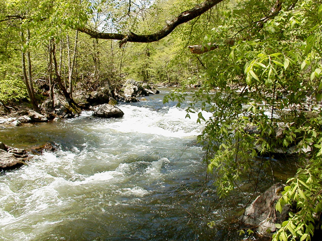
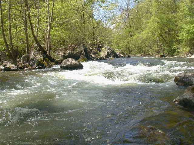
Ran this at a fairly low level (~200 cfs); doesn't offer much until State Line Rapid, and even that's rather short-lived. At higher levels, the stretch from State Line to the confluence of the Housatonic should offer some worthwhile Class II-III.
Recommended put-in would be on Rte. 55 in Webatuck, NY, right after Dog Tail Corners Road; take-out on Rte. 7 in Gaylordsville, CT, which is on the Housatonic below the Bull's Bridge section. The parking area is about 2 miles north from the intersection of 7 and 55.
May 16, 2005
State Line at a lower water level - route was easy and waves were tame, but the picture still doesn't quite do it justice