Ocmulgee
1. Lloyd Shoals Dam to Wise Creek(Seven Islands)
Apr 28, 2014
Ran this section of the Ocmulgee with my son this past Fri. 4/25/14. River gauge was reading 4.55' at the dam. This run would have been better with 6 more inches of water. We did see 8-10 people fishing above Smith Shoals. Trip was uneventful but very satisfying. canoesalot@yahoo.com
Jun 7, 2013
We had a group of five people make the run yesterday at 4630 CFS. We put in at the location of Admission Rapid but it was washed out but had a nice smaller wave there. The run was pretty quick at that level for sure. The ledge that you normally have to run to the right path was washed out but the center path had a decent wave train in it. There werent any exposed ledges at Smith Shoals but there was a line where the flatwater ended and the fun began. We were running out of daylight so we didnt try the far left side. We ended up running the class 3 drop right next to the left side of the island. There was a nice tongue of water about 10 feet or so away from the big island that dropped into a beefy wavetrain at the bottom that ran almost to the end of the island. Be careful as there is a hole that develops to the left of the tongue at higher water levels and about 4000 becomes extremely sticky and will recirculate a swimmer. At that level the current in that line directs you toward the middle of the river and there is an easily avoidable rock in that area. We paddled over and set safety for one of our group who ran the right side of the island. He said it was pretty creeky and that was probably the lowest possible level to run that side. There are some trees over the river on that side that could make it tricky. Lots of strainers on river right after the island so if you run at that level make sure to stay middle and keep you eyes open. Would recommend that you have experience in moving water at this level and I believe that it can be run higher.-Jimmy Jones
May 21, 2010
Just talked to someone at Georgia Power and they said you can call 404.954.4055 for predicted releases and generation info for Lloyd Shoals Dam.
Apr 22, 2006
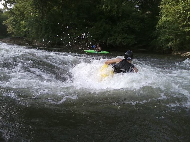
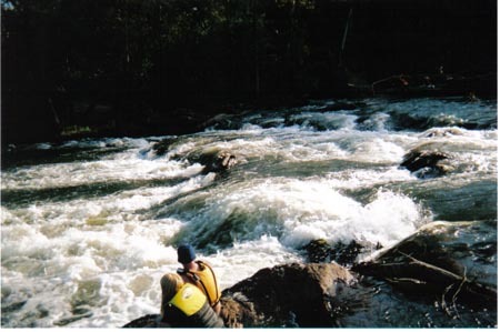
this is the second drop on admission rapid at low water, can be tricky at any level, but fun anytime
Jan 28, 2006
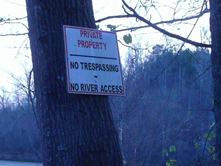
This is a sign thats posted along the river where the gravel road runs along side, maybe not a good place to leave a shuttle vehicle for the 'short run'
Oct 30, 2005
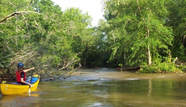
Having hiked along the leftside channel behind Forty Acre Island, I really do not recommend it. It is a real snag catcher, and also can be littered with trash. The open rightside route has many interesting options and can be run at all levels (maybe even the 9000cfs they released last week) including minimal release periods. The best route I've found is to work down the ledges on the left, and as you pass the end of the large island on the left, work off toward the right, scooping in under a tiny island with trees, and then cutting hard left down a chute to the left of a large rock. Probably you are running about the same route discussed in the other notes. At low levels, this may be the only clean route, though it is tight, technical, and may upset beginners and tandem intermediates.
There is a walking shuttle covering just the good rapids, back from the Wise Creek take out to the short-run put-in where the USFS road comes near the river. You can either walk up the Wise Creek trail and then back to your car on the road, or you can wade Wise Creek, after which it's fairly easy to walk back to your car along the river. Takes less than an hour either way.
NOTE: Maybe I've been lucky, but I have never had trouble leaving my shuttle vehicle where the gravel road runs along the river for the 'short' run. The 'posted' signs in the past were intended to keep non-members out of woods leased by a hunting club.
Oct 22, 2005
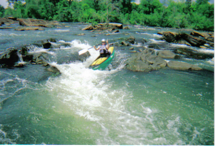
This is just a better shot of the admission rapid from the best scouting position before running the rapid
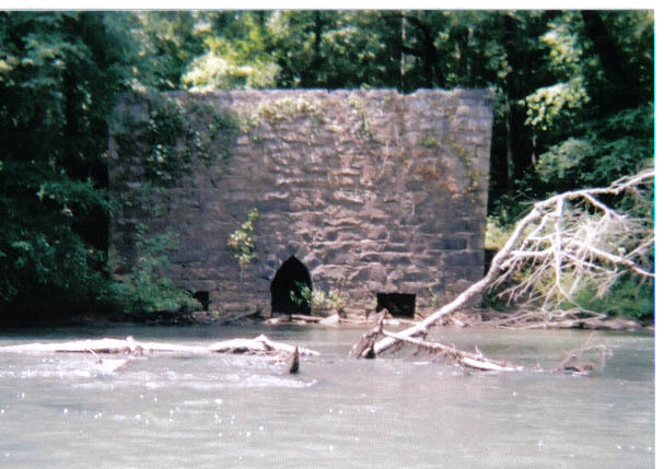
this is a shot looking up the ledges in the mill area of the river
Sep 3, 2005
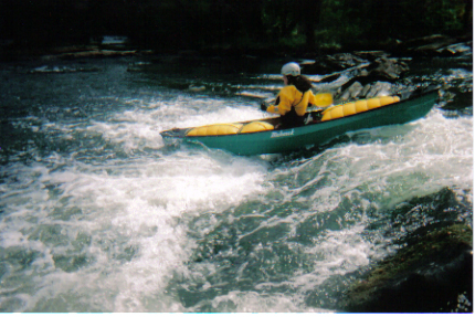
This is a very nice run for Middle GA. Some friends and I found it about 4 months ago and can't wait to get back out there when time permits. There is a way to make the run shorter (2 miles). This hits the best WW and cuts out the most flat water. The best water seems to be to the right of all islands as you go down the river with one exception (later explained). You know when you get to the Class III because the river gets really wide and there is a large horizon line. On river right there is a small island DO NOT GO TO THE RIGHT OF THIS ISLAND (short drop with a sudden stop). We always run just left of this Island. For a portage of the III exit river right; there is what looks like a hunting road that runs along the bank. I would say perfect level would be around 3000. I will try to get the short run put in up shortly.
Jun 4, 2005
Typical drop on the channel left of 40 Acre Island. A very pretty, isolated place.
The entrance can be tough to spot.
Jan 1, 1900
This pic was before the ledges above the mill, nice looking boat, very old and restored fiberglass canoe
this was taken this summer when we had the big rains that clogged up the passage behind forty acre island
'gimme one neemair BarBQ's'....you'll recognize this place if you've ever seen My Cousin Vinny....You know your in the right place if you pass this on the shuttle from Lloyd Shoals to Wise Creek
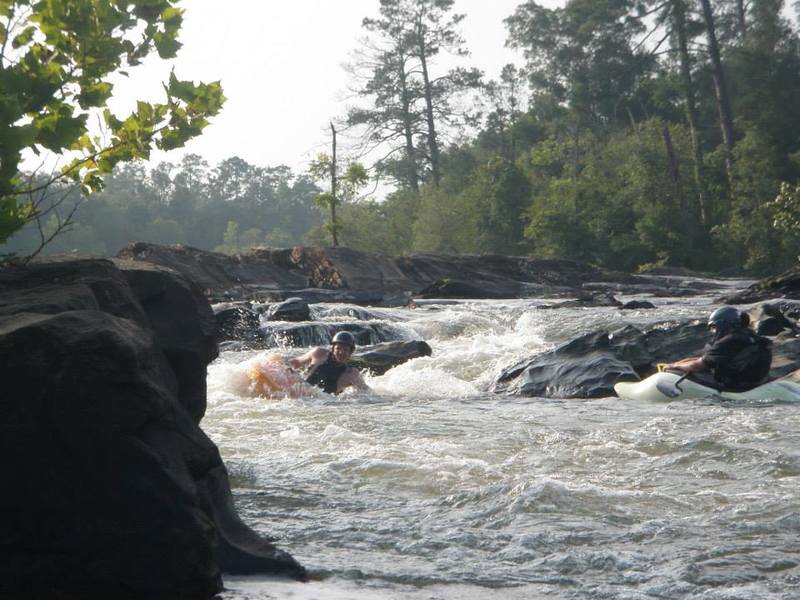
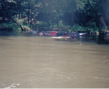
these are friends of mine, the photo was taken along with the patches photos, this was there first trip down in a canoe......
their first taste of upset canoe
recovering from the spill
Here is one of the MANY paddlesnakes lurking beneath the surface of your favorite rapid
me n old buck in the old days
this was what was left of old patches after a wid and unsuccessful ride thru admission rapid
this is all thats left of old patches after a wild and unsuccessful ride through admission rapid