Ocmulgee
1. Lloyd Shoals Dam to Wise Creek(Seven Islands)
| Difficulty | I-II(III) |
| Length | 6 mi |
| Avg Gradient | 7 fpm |
| Gauge | Ocmulgee River Near Jackson, Ga |
| Flow Rate as of 15 minutes | 425 cfsbelow recommended |
| Reach Info Last Updated | March 14, 2024 |
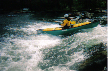
River corridor is historically called the Seven Islands area. Dam controlled run. Large river. The river corridor is very pleasing...completely forested with no streamside development. River left is a patchwork of National Forest and private land. The first half of the run is flat; consider it price of admission. The gradient picks up at mile 3 as islands become more prevalent. Smiths Shoals, arranged sporadically throughout the mile between Giles Ferry and the river left forest service road access, provide good surfing and play at flows above 2000cfs. Following another half mile of flats, you have a choice to make at mile 4.5, where 40 Acre Island divides the river for an entire mile. On the right side, the main channel takes 90% of the stream over the only III, a single large long stairstep ledge at Lamar's Mill. Usual portage is on river right.
The channel left of 40 Acre Island hides an exquisitely pretty creek run in which 15 or 20' of gradient is allocated throughout one mile of several interesting II/II+ drops. It is not an easier or safer alternative to the main channel due to deadfalls and lack of portage options.
A Canoeing and Kayaking Guide to Georgia, Menasha Ridge Press, 2005

Just off Highway 16 on the road on river right is the Georgia Power park that has the public boat ramp. It is approximately 1/4 mile below the dam
The Georgia Department of Natural Resources has added a new put in near the end of the flatwater and beginning of the whitewater section
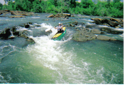
At this spot the river has several islands in it and the channel on the right has a nice ledge that you can surf, ferry, catch eddies and is a spot to do stern squirts. Be careful at minimum flow as there are some shallowish rocks in there. Strainers like to end up on river right so be cautious
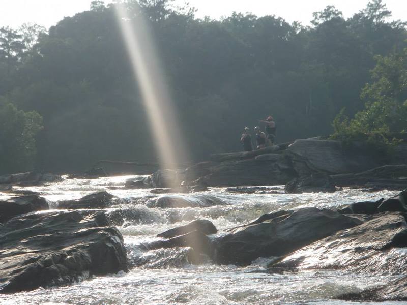
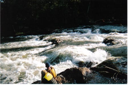
This is the main event for the run. As you approach it you will notice the horizon line across the river. The far left line is a series of stairstep style ledges. Just to the left of the island there is a decent drop that has a couple of chutes below it at lower water and at higher water this becomes one continuous rapid. It is about 100 yards long. The right side of the island has a dam that is not a good choice to run. After this rapid be wary of strainers and make sure to look for the remains of the mill on river right.
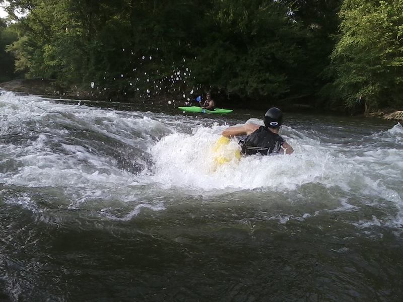
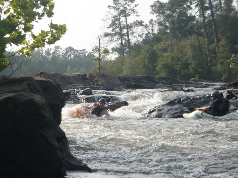
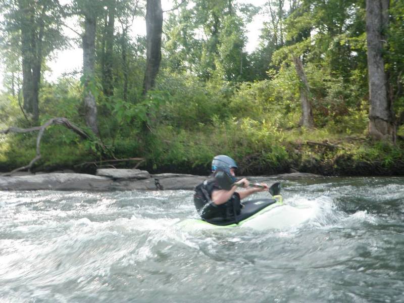
At Nelson's Island drop over the ledge and enjoy some surfing. There is a very nice surf wave that develops between 1000 and 2000 cfs. Be mindful of the local residents who like to swim here. The river left bank has some sharp concrete blocks under water so if you go end up out of your boat swim to the island. This is the confluence of Wise Creek and the Ocmulgee and is the take out of this section.
Apr 28, 2014
Ran this section of the Ocmulgee with my son this past Fri. 4/25/14. River gauge was reading 4.55' at the dam. This run would have been better with 6 more inches of water. We did see 8-10 people fishing above Smith Shoals. Trip was uneventful but very satisfying. canoesalot@yahoo.com
Jun 7, 2013
We had a group of five people make the run yesterday at 4630 CFS. We put in at the location of Admission Rapid but it was washed out but had a nice smaller wave there. The run was pretty quick at that level for sure. The ledge that you normally have to run to the right path was washed out but the center path had a decent wave train in it. There werent any exposed ledges at Smith Shoals but there was a line where the flatwater ended and the fun began. We were running out of daylight so we didnt try the far left side. We ended up running the class 3 drop right next to the left side of the island. There was a nice tongue of water about 10 feet or so away from the big island that dropped into a beefy wavetrain at the bottom that ran almost to the end of the island. Be careful as there is a hole that develops to the left of the tongue at higher water levels and about 4000 becomes extremely sticky and will recirculate a swimmer. At that level the current in that line directs you toward the middle of the river and there is an easily avoidable rock in that area. We paddled over and set safety for one of our group who ran the right side of the island. He said it was pretty creeky and that was probably the lowest possible level to run that side. There are some trees over the river on that side that could make it tricky. Lots of strainers on river right after the island so if you run at that level make sure to stay middle and keep you eyes open. Would recommend that you have experience in moving water at this level and I believe that it can be run higher.-Jimmy Jones
Oct 30, 2005
Having hiked along the leftside channel behind Forty Acre Island, I really do not recommend it. It is a real snag catcher, and also can be littered with trash. The open rightside route has many interesting options and can be run at all levels (maybe even the 9000cfs they released last week) including minimal release periods. The best route I've found is to work down the ledges on the left, and as you pass the end of the large island on the left, work off toward the right, scooping in under a tiny island with trees, and then cutting hard left down a chute to the left of a large rock. Probably you are running about the same route discussed in the other notes. At low levels, this may be the only clean route, though it is tight, technical, and may upset beginners and tandem intermediates.
There is a walking shuttle covering just the good rapids, back from the Wise Creek take out to the short-run put-in where the USFS road comes near the river. You can either walk up the Wise Creek trail and then back to your car on the road, or you can wade Wise Creek, after which it's fairly easy to walk back to your car along the river. Takes less than an hour either way.
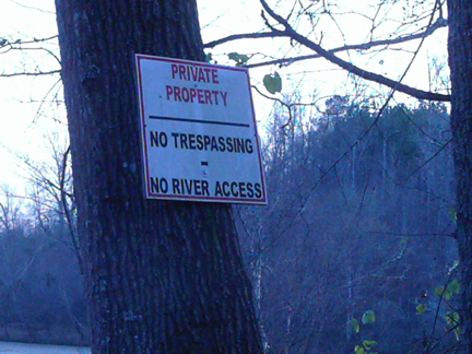
NOTE: Maybe I've been lucky, but I have never had trouble leaving my shuttle vehicle where the gravel road runs along the river for the 'short' run. The 'posted' signs in the past were intended to keep non-members out of woods leased by a hunting club.
Sep 3, 2005
This is a very nice run for Middle GA. Some friends and I found it about 4 months ago and can't wait to get back out there when time permits. There is a way to make the run shorter (2 miles). This hits the best WW and cuts out the most flat water. The best water seems to be to the right of all islands as you go down the river with one exception (later explained). You know when you get to the Class III because the river gets really wide and there is a large horizon line. On river right there is a small island DO NOT GO TO THE RIGHT OF THIS ISLAND (short drop with a sudden stop). We always run just left of this Island. For a portage of the III exit river right; there is what looks like a hunting road that runs along the bank. I would say perfect level would be around 3000. I will try to get the short run put in up shortly.